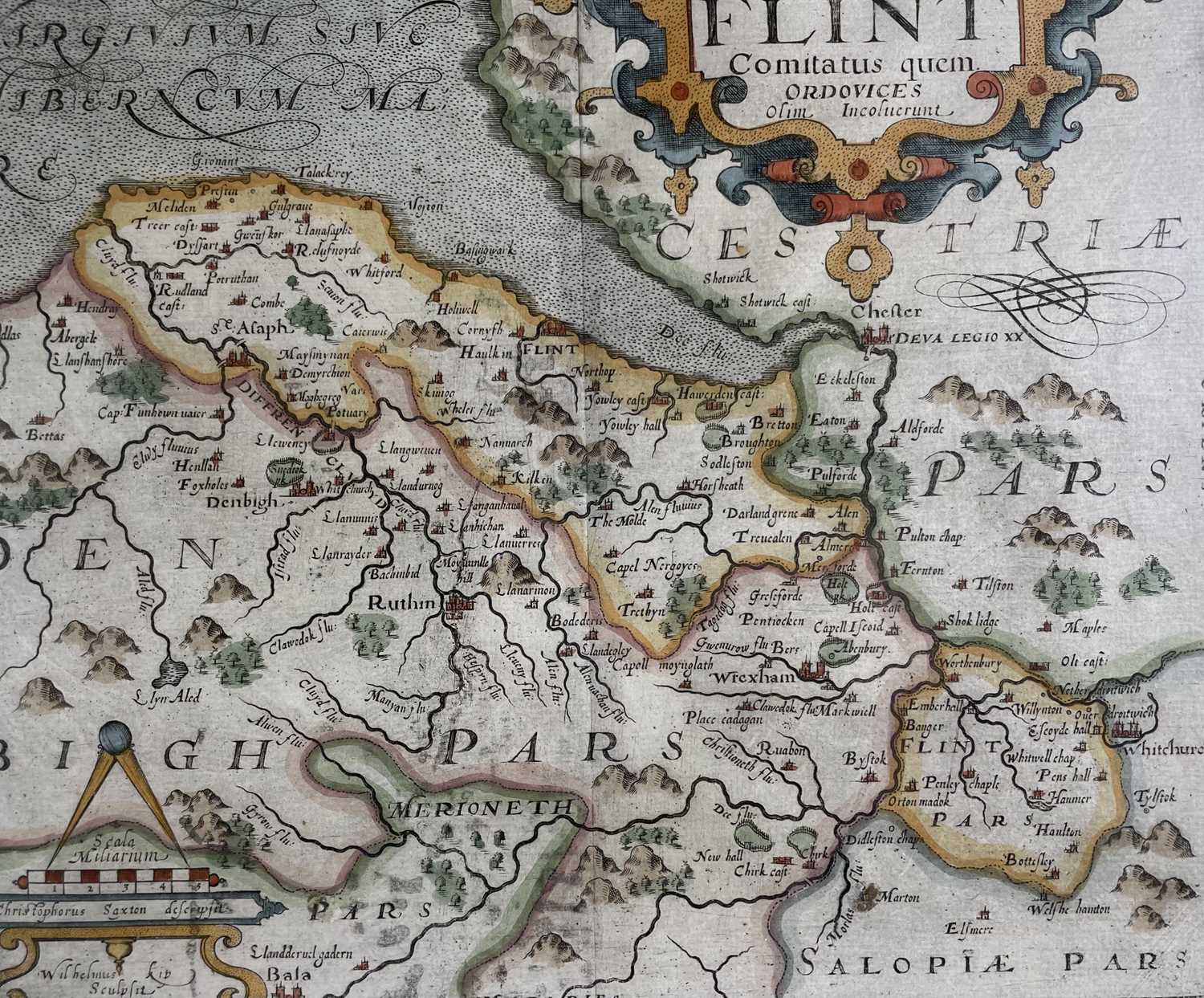
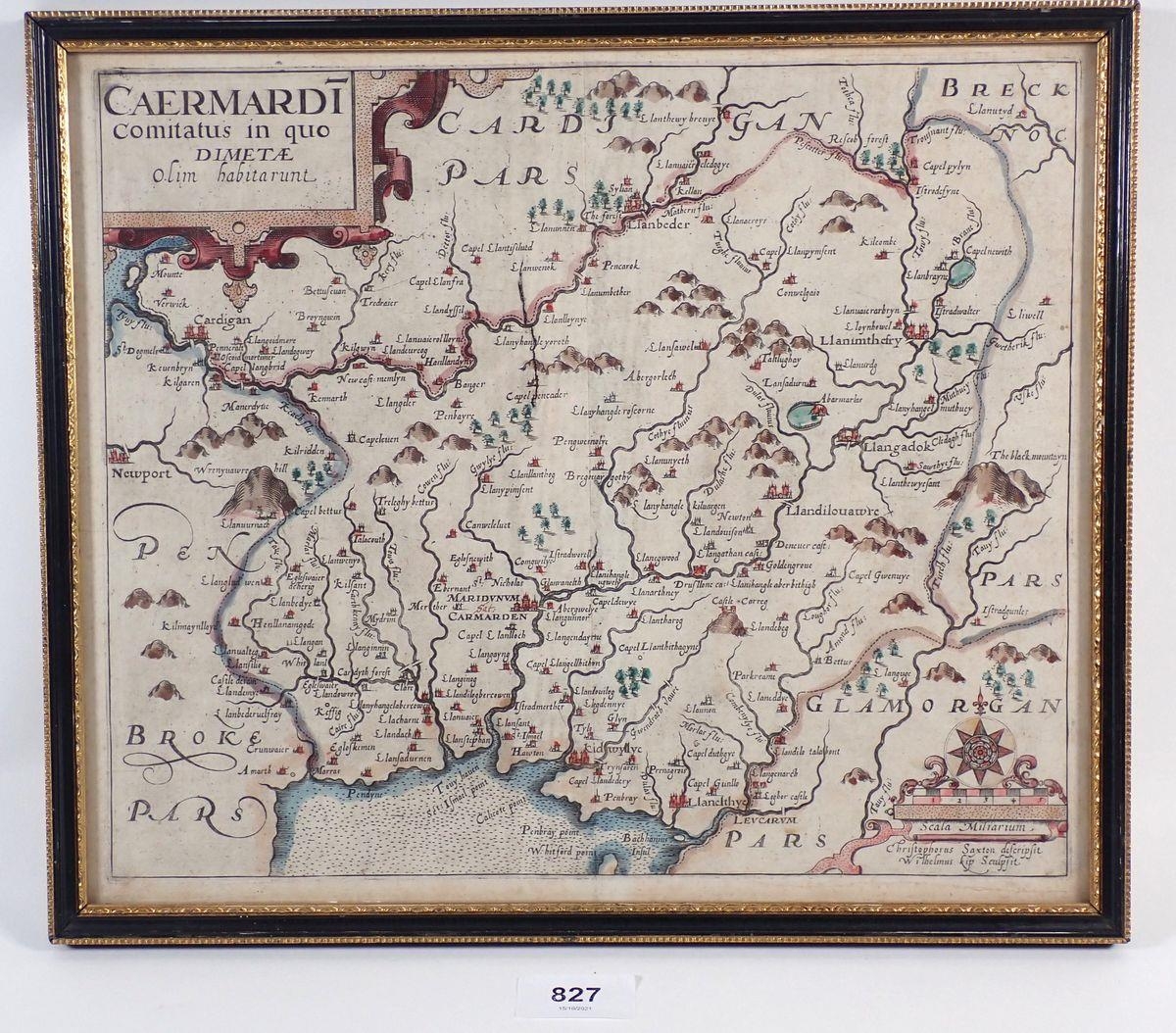
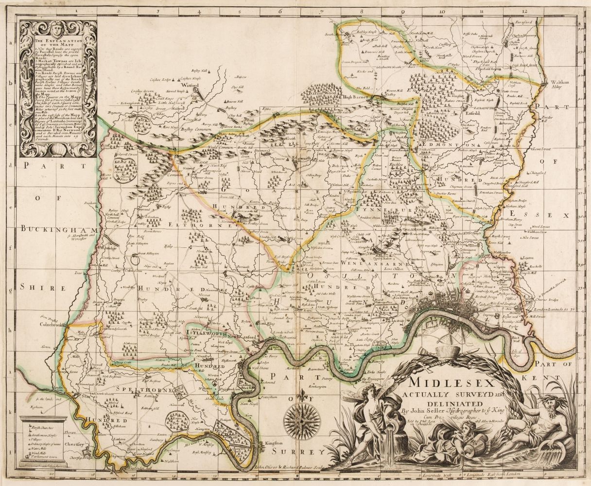
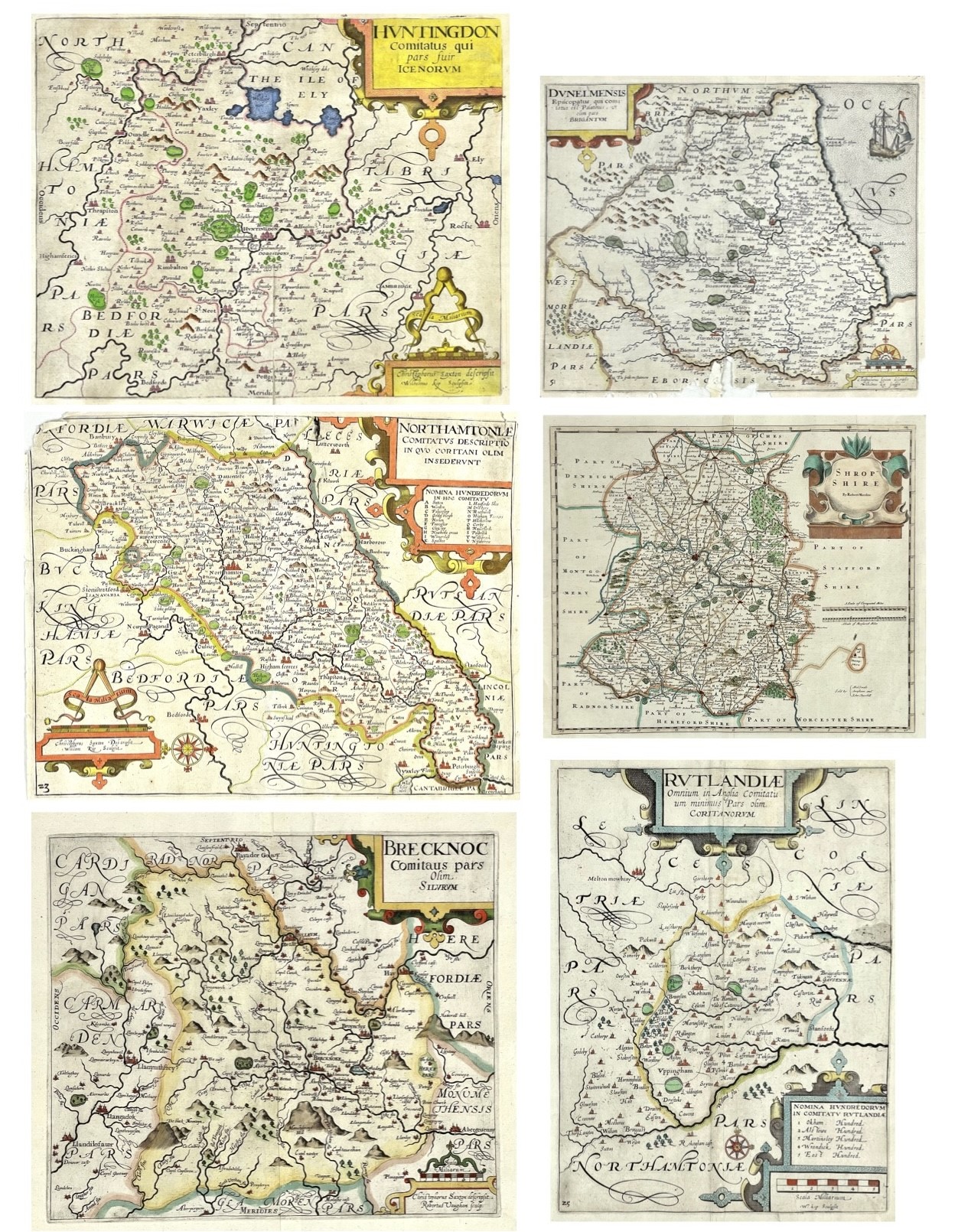
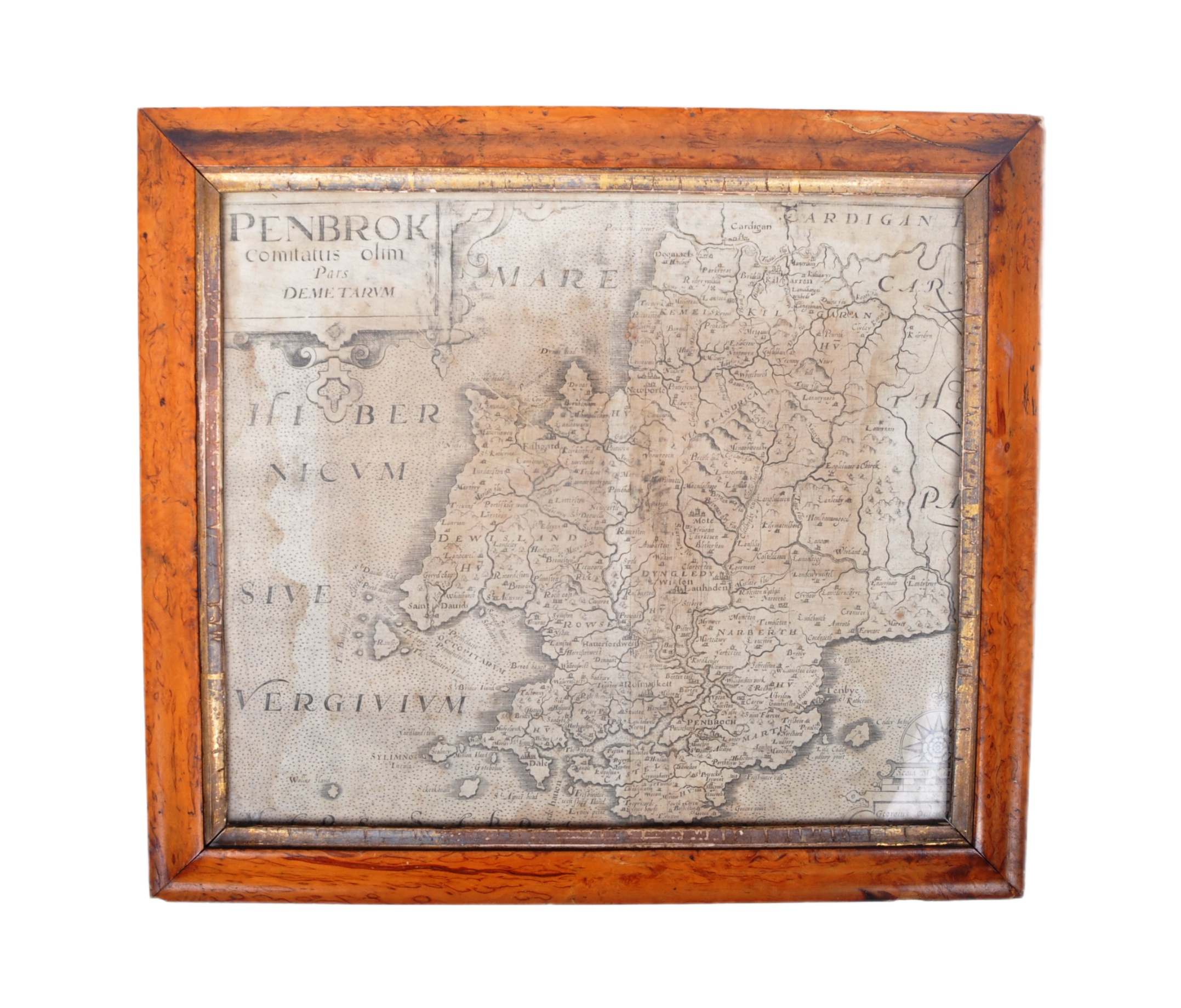
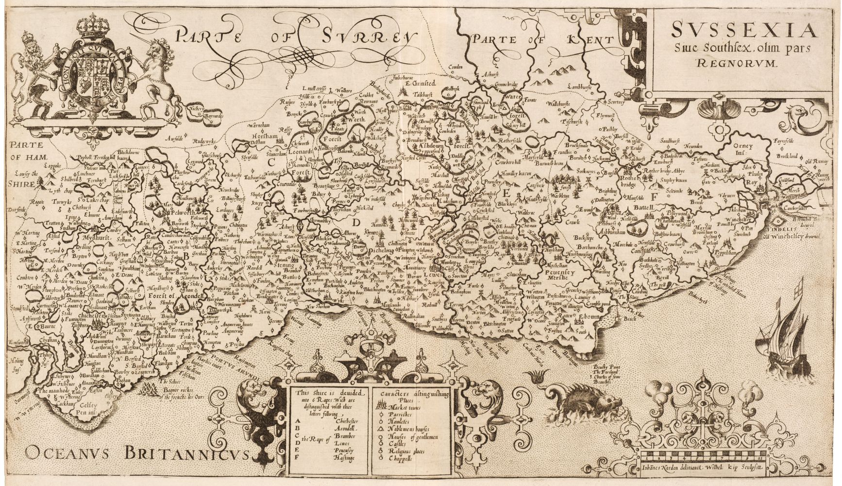
Two 17th century & 19th century hand painted maps of British regions. The lot to include: William Kip / Christopher Saxton example marked Comitatus Qui Olim Pars Ordovicum circa 1607-1627 copper plate map of Wales with crude early hand colouring. Framed and glazed. Together with an Edward Langley & Belch, ' Langley's new Map of Carvarvonshire ', 19th century circa 1818 hand coloured map. Framed & glazed. Largest measures approx. 27cm x 32cm unframed.
Two 17th century & 19th century hand painted maps of British regions. The lot to include: William Kip / Christopher Saxton example marked Comitatus Qui Olim Pars Ordovicum circa 1607-1627 copper plate map of Wales with crude early hand colouring. Framed and glazed. Together with an Edward Langley & Belch, ' Langley's new Map of Carvarvonshire ', 19th century circa 1818 hand coloured map. Framed & glazed. Largest measures approx. 27cm x 32cm unframed.



.jpg)




Testen Sie LotSearch und seine Premium-Features 7 Tage - ohne Kosten!
Lassen Sie sich automatisch über neue Objekte in kommenden Auktionen benachrichtigen.
Suchauftrag anlegen