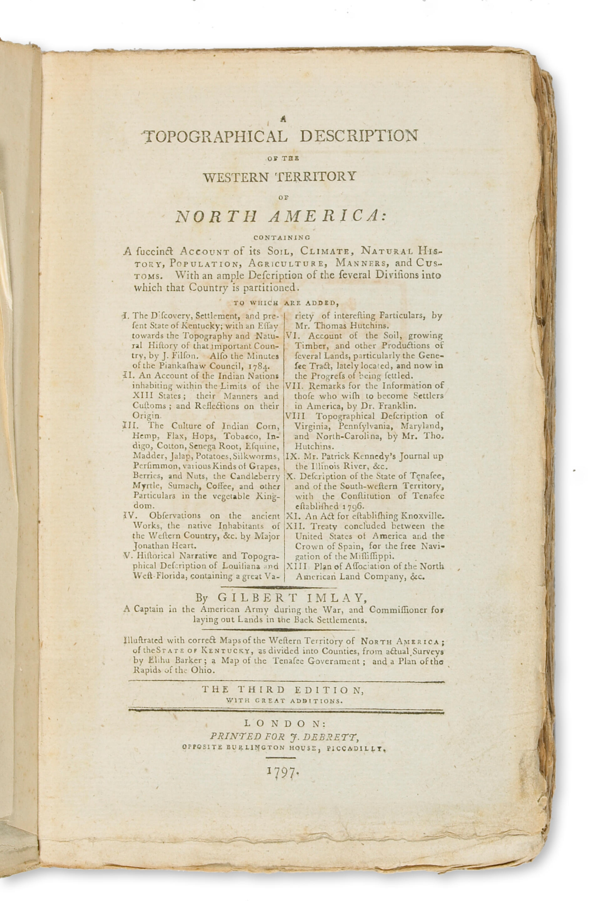
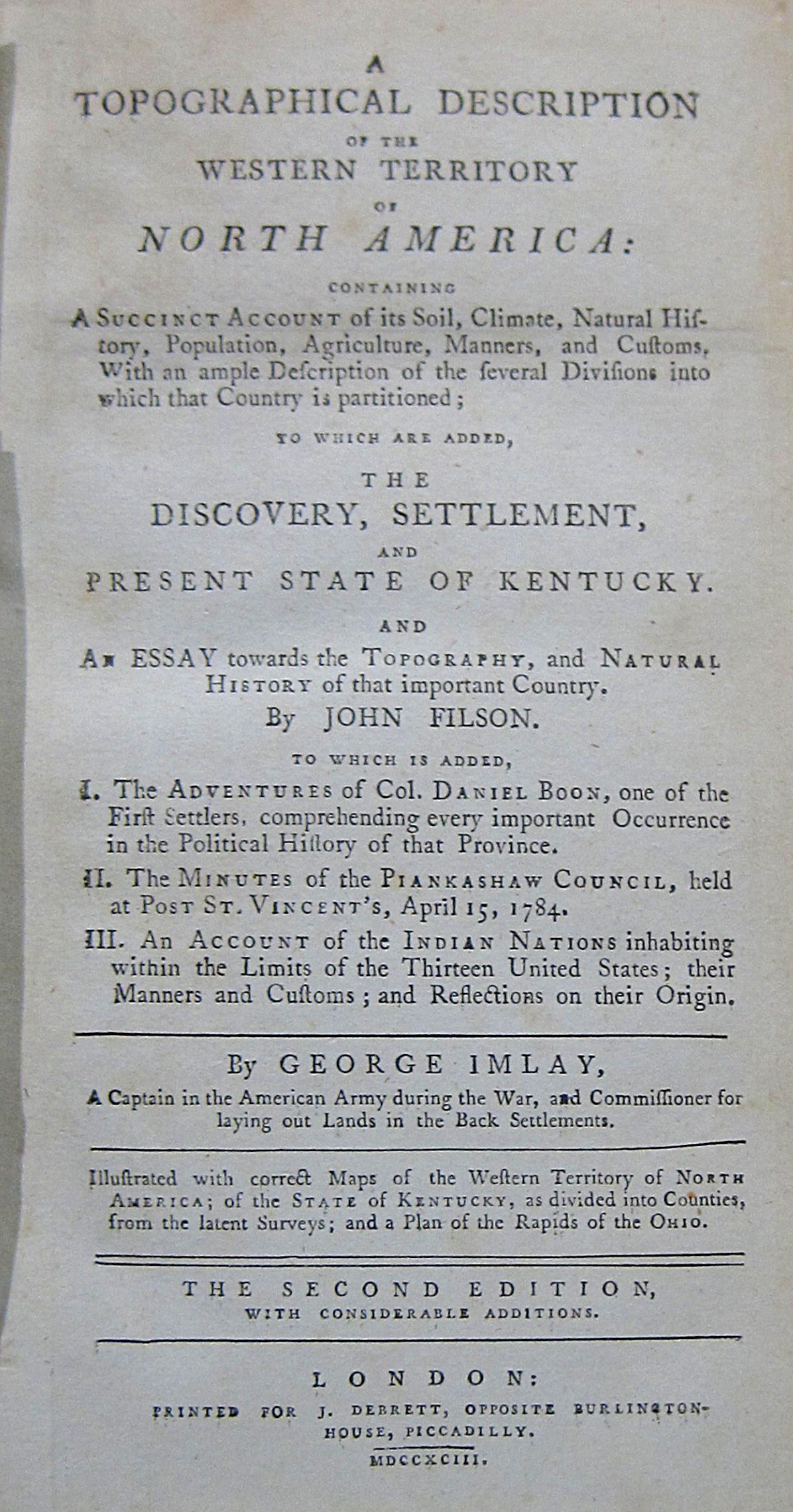
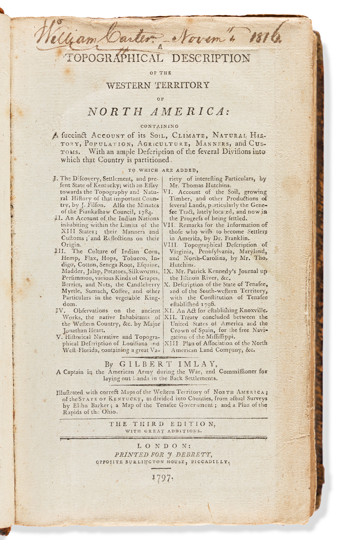
A Topographical Description of the Western Territory of North America; Containing a Succinct Account of its Climate, Natural History, Population, Agriculture, Manners and Customs. [Issued with:] The Discovery, Settlement, and Present State of Kentucky: and an Essay Towards the Topography and Natural History of that Important Country.
New York: Samuel Campbell 1793. Two volumes. Duodecimo (6 ¼ x 4 inches, 160x100 mm). Two engraved folding maps, and an engraved folding plan of the rapids of Ohio. Three folding maps and plans. Later half crushed morocco. Condition: Some foxing and browning, the folding plates linen-backed at an early date; some staining and blistering to the covers but the spines present nicely. Provenance : Isaac Davis (contemporary signature on both titles). first american edition of imlay's western territory issued with the second american edition of filson's history of kentucky. Imlay, who served as a Captain in the Continental Army during the American Revolution and later as a land commissioner in the region, first published his Description in London the year prior to this American appearance. Filson's Discovery , first issued in Wilmington in 1784, is the first history of Kentucky, includes the earliest account of Daniel Boone and contains the first map of that territory. This rare combined edition provides the most complete information on the trans-Allegheny region available in America at the end of the 18th century. Clark II: 43, 23; Evans 25648; Howes I12 and F129 (not noting this ed); Vail 941.

.jpg)


Testen Sie LotSearch und seine Premium-Features 7 Tage - ohne Kosten!
Lassen Sie sich automatisch über neue Objekte in kommenden Auktionen benachrichtigen.
Suchauftrag anlegen