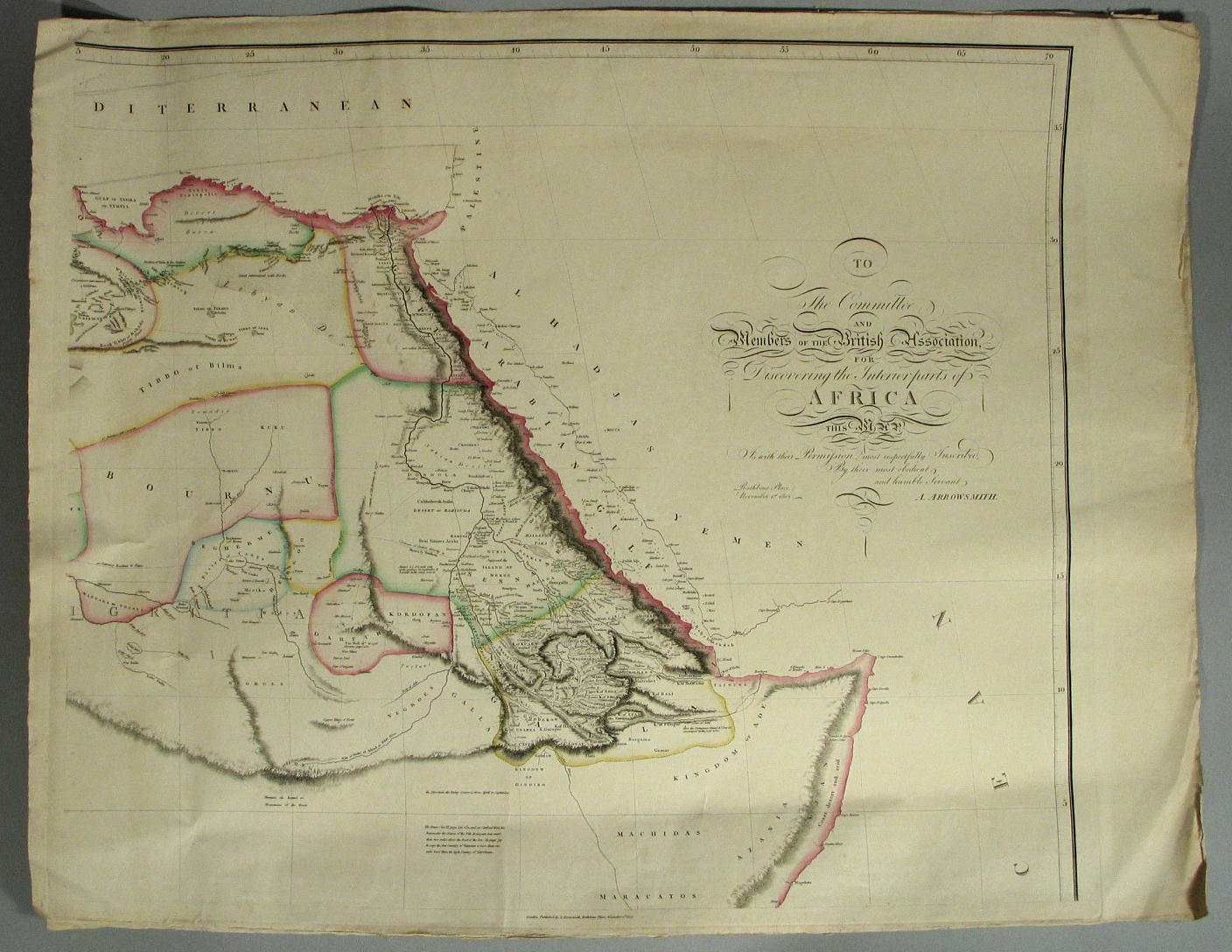
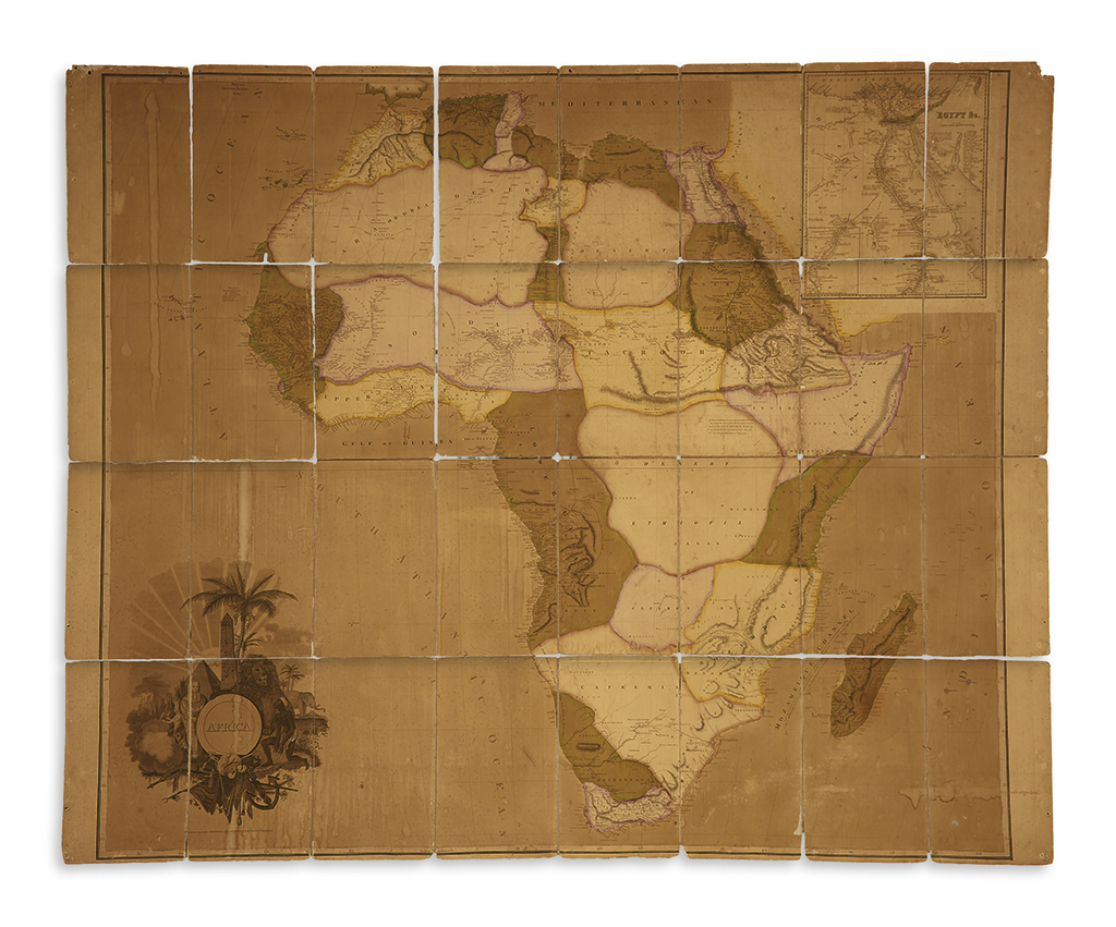
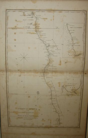
Africa.- Arrowsmith (Aaron) Africa, large folding map of the continent, with decorative allegorical title cartouche lower left with lions, elephants and Egyptian artefacts, and dedication upper right, engraved map with outline hand-colouring, 1270 x 1470 mm. (50 x 57 7/8 in), dissected into 24 sections and laid on linen, with turquoise silk border, folding with blue endpapers with Wyld's printed label, worn, some loss to endpapers, map with some light offsetting and browning, spotting and surface dirt, some corners slightly peeling off linen, James Wyld, 1 November 1802 § Juta & Co. (J.C.) Juta's Map of South Africa, from the Cape to the Zambesi, lithographed map printed in colour, 955 x 1240 mm. (37 1/2 x 48 3/4 in), dissected and mounted in linen, folding with yellow endpapers, in contemporary cloth-covered slipcase with printed label, rubbed, Edward Stanford, 8vo, 1899; and with A Map of Nyassaland, compiled for George Cawston, Esq., lithographed map printed in colour, 1330 x 520 mm. (52 1/2 x 20 1/2 in), dissected and mounted on linen, folding into cloth covered boards with printed label, some loss, rubbed, Edward Stanford, 8vo, 1891; and with G.W. Bacon's New Map of The Balkan Peninsula, lithographed map folding into boards, small 8vo, [?early 20th century], (4).
Africa.- Arrowsmith (Aaron) Africa, large folding map of the continent, with decorative allegorical title cartouche lower left with lions, elephants and Egyptian artefacts, and dedication upper right, engraved map with outline hand-colouring, 1270 x 1470 mm. (50 x 57 7/8 in), dissected into 24 sections and laid on linen, with turquoise silk border, folding with blue endpapers with Wyld's printed label, worn, some loss to endpapers, map with some light offsetting and browning, spotting and surface dirt, some corners slightly peeling off linen, James Wyld, 1 November 1802 § Juta & Co. (J.C.) Juta's Map of South Africa, from the Cape to the Zambesi, lithographed map printed in colour, 955 x 1240 mm. (37 1/2 x 48 3/4 in), dissected and mounted in linen, folding with yellow endpapers, in contemporary cloth-covered slipcase with printed label, rubbed, Edward Stanford, 8vo, 1899; and with A Map of Nyassaland, compiled for George Cawston, Esq., lithographed map printed in colour, 1330 x 520 mm. (52 1/2 x 20 1/2 in), dissected and mounted on linen, folding into cloth covered boards with printed label, some loss, rubbed, Edward Stanford, 8vo, 1891; and with G.W. Bacon's New Map of The Balkan Peninsula, lithographed map folding into boards, small 8vo, [?early 20th century], (4).


Testen Sie LotSearch und seine Premium-Features 7 Tage - ohne Kosten!
Lassen Sie sich automatisch über neue Objekte in kommenden Auktionen benachrichtigen.
Suchauftrag anlegen