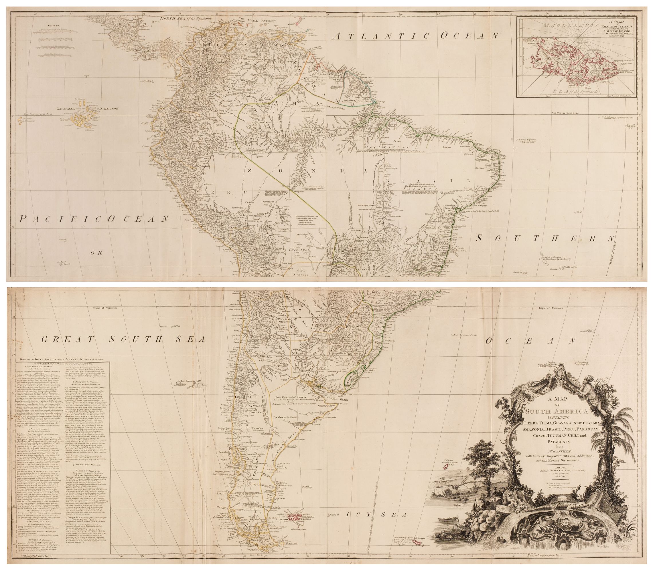
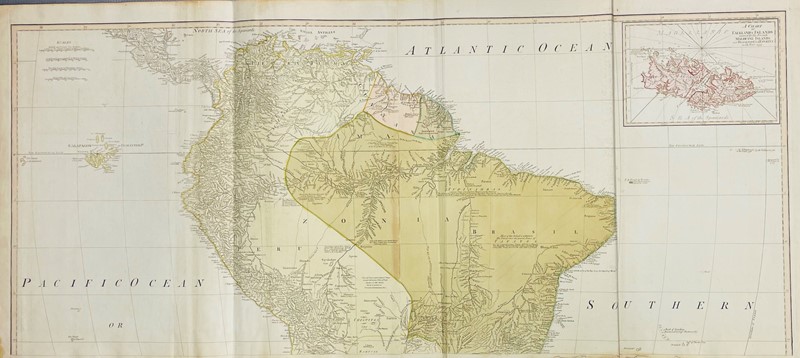
AMERICA]. SAYER, ROBERT and BENNETT, J. A General Map of the Middle British Colonies in America containing Virginia, Maryland, the Delaware Counties, Pennsylvania and New Jersey. With the addition of New York, and of the Greatest Part of New England... improved from several Surveys made after the late War, and Corrected from Governor Pownall... London, dated 1776. 470 x 650 mm. (18¾ x 25¾ in.) some outline coloring, chipping and splitting along folds; framed. Tooley The Mapping of America 30(g) (p. 68).
AMERICA]. SAYER, ROBERT and BENNETT, J. A General Map of the Middle British Colonies in America containing Virginia, Maryland, the Delaware Counties, Pennsylvania and New Jersey. With the addition of New York, and of the Greatest Part of New England... improved from several Surveys made after the late War, and Corrected from Governor Pownall... London, dated 1776. 470 x 650 mm. (18¾ x 25¾ in.) some outline coloring, chipping and splitting along folds; framed. Tooley The Mapping of America 30(g) (p. 68).


Testen Sie LotSearch und seine Premium-Features 7 Tage - ohne Kosten!
Lassen Sie sich automatisch über neue Objekte in kommenden Auktionen benachrichtigen.
Suchauftrag anlegen