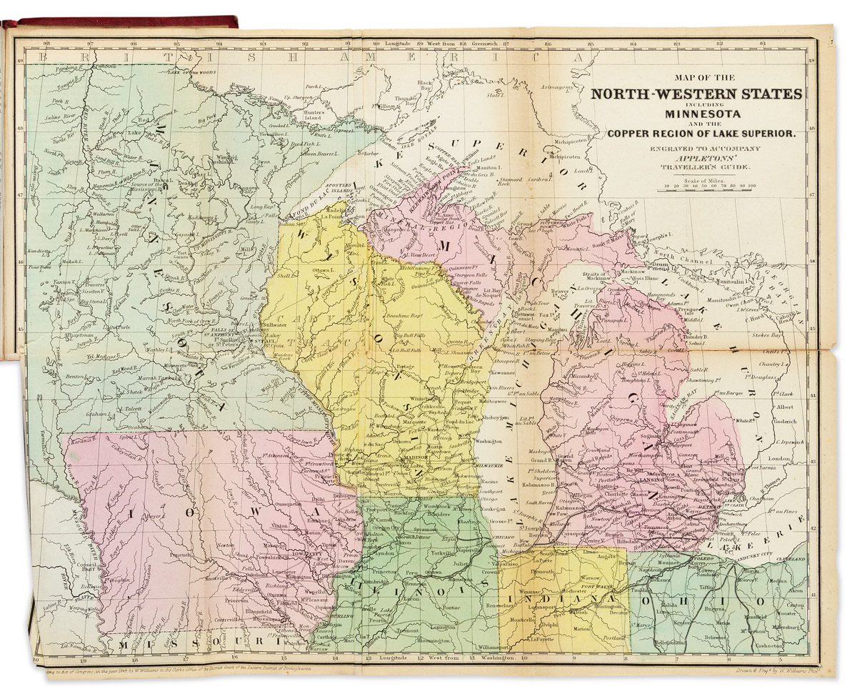
Title: Appletons' Hand-book of American Travel. Western Tour. Embracing Eighteen Through Routes to the West and Far West, Tours of the Great Lakes and Rivers, and Local Routes of the States of Ohio... Being a complete Guide to the Rocky Mountains, Yosemite Valley, Sierra Nevada, the Mining Regions of Utah, Nevada, Etc., and other famous localities; with full descriptive sketches of the Cities... With Maps and Diagrams Author: Appleton, D., and Co. Place: New York Publisher: D. Appleton and Co. Date: 1871 Description: [10] ad, x, 315 + [6] ad pp. With 6 folding maps, 2 single-page maps in text. (8vo) 19x12.5 cm (7½x5"), flexible cloth lettered in gilt. Guide to the American West just after the completion of the transcontinental railroad. The maps are: Map to Accompany Appletons' Hand -Book of American Travel, Western Tour. Section East of Missouri River (3 insets). Hand-colored in outline. 39.5x68.5 cm. (Darkening, splits at some folds). The City of Chicago Illinois. Hand-colored. 28x18 cm. The City of Cincinnati Ohio. Hand-colored. 18x28 cm. The City of St. Louis Missouri. 18x28 cm. Map of San Francisco. 19.6x12.5 cm. Map of States & Territories, West of Missouri... Hand-colored in outline. 42.7x57.5 cm (Darkened along a fold with repair.) Map of Rail & Stage Routes to the Big Trees and Yosemite. Single-page. Map of Yosemite Valley. Single-page. Lot Amendments Condition: Wear to binding, spine repaired; a few maps with edge chips and other wear; about very good. Item number: 273145
Title: Appletons' Hand-book of American Travel. Western Tour. Embracing Eighteen Through Routes to the West and Far West, Tours of the Great Lakes and Rivers, and Local Routes of the States of Ohio... Being a complete Guide to the Rocky Mountains, Yosemite Valley, Sierra Nevada, the Mining Regions of Utah, Nevada, Etc., and other famous localities; with full descriptive sketches of the Cities... With Maps and Diagrams Author: Appleton, D., and Co. Place: New York Publisher: D. Appleton and Co. Date: 1871 Description: [10] ad, x, 315 + [6] ad pp. With 6 folding maps, 2 single-page maps in text. (8vo) 19x12.5 cm (7½x5"), flexible cloth lettered in gilt. Guide to the American West just after the completion of the transcontinental railroad. The maps are: Map to Accompany Appletons' Hand -Book of American Travel, Western Tour. Section East of Missouri River (3 insets). Hand-colored in outline. 39.5x68.5 cm. (Darkening, splits at some folds). The City of Chicago Illinois. Hand-colored. 28x18 cm. The City of Cincinnati Ohio. Hand-colored. 18x28 cm. The City of St. Louis Missouri. 18x28 cm. Map of San Francisco. 19.6x12.5 cm. Map of States & Territories, West of Missouri... Hand-colored in outline. 42.7x57.5 cm (Darkened along a fold with repair.) Map of Rail & Stage Routes to the Big Trees and Yosemite. Single-page. Map of Yosemite Valley. Single-page. Lot Amendments Condition: Wear to binding, spine repaired; a few maps with edge chips and other wear; about very good. Item number: 273145


Testen Sie LotSearch und seine Premium-Features 7 Tage - ohne Kosten!
Lassen Sie sich automatisch über neue Objekte in kommenden Auktionen benachrichtigen.
Suchauftrag anlegen