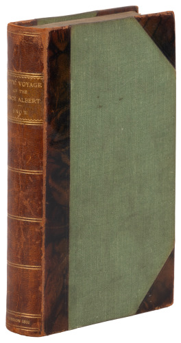
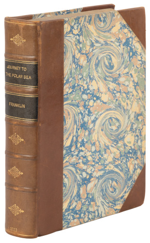
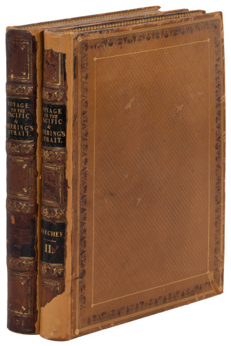
2 volumes. xvi, 324; xii, 352 pp. Illustrated from numerous engravings, with maps including large folding map. 21.5x13 cm (8½x5"), period quarter calf with cloth boards, morocco spine labels lettered in gilt. First Edition. Exploration mostly around Baffin Island, with detailed descriptions of Eskimo life, sledding, food, the cold and its effects, terrain, and the discovery of remains of the Frobisher encampment. Folding map titled "A Chart of Frobisher Bay..." measuring 40.5x57 cm (16x22½") with 4 smaller inset maps.
2 volumes. xvi, 324; xii, 352 pp. Illustrated from numerous engravings, with maps including large folding map. 21.5x13 cm (8½x5"), period quarter calf with cloth boards, morocco spine labels lettered in gilt. First Edition. Exploration mostly around Baffin Island, with detailed descriptions of Eskimo life, sledding, food, the cold and its effects, terrain, and the discovery of remains of the Frobisher encampment. Folding map titled "A Chart of Frobisher Bay..." measuring 40.5x57 cm (16x22½") with 4 smaller inset maps.


.jpg)

.jpg)


Testen Sie LotSearch und seine Premium-Features 7 Tage - ohne Kosten!
Lassen Sie sich automatisch über neue Objekte in kommenden Auktionen benachrichtigen.
Suchauftrag anlegen