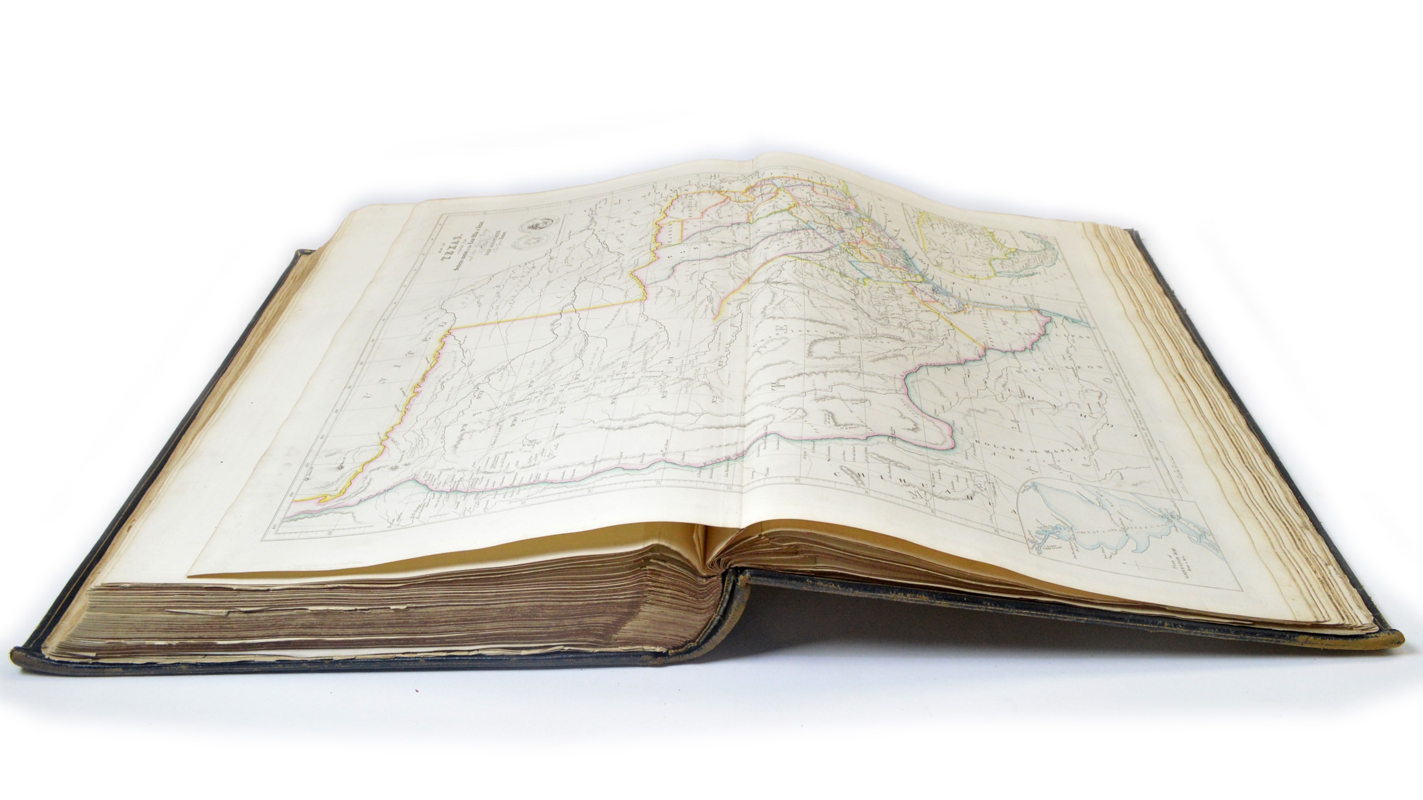
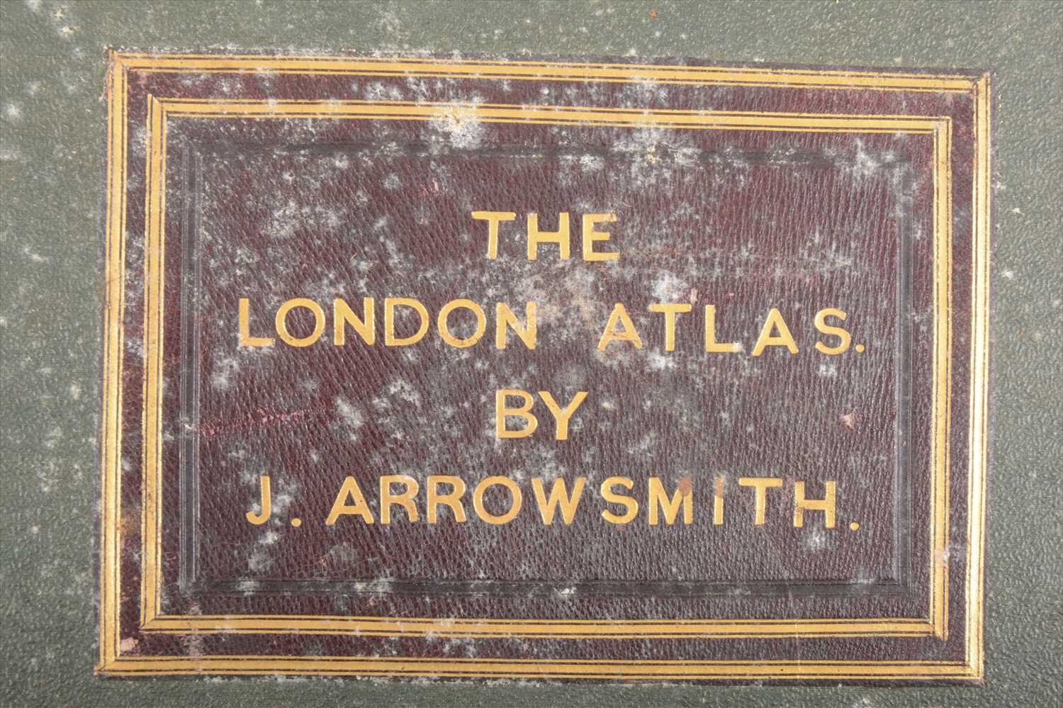
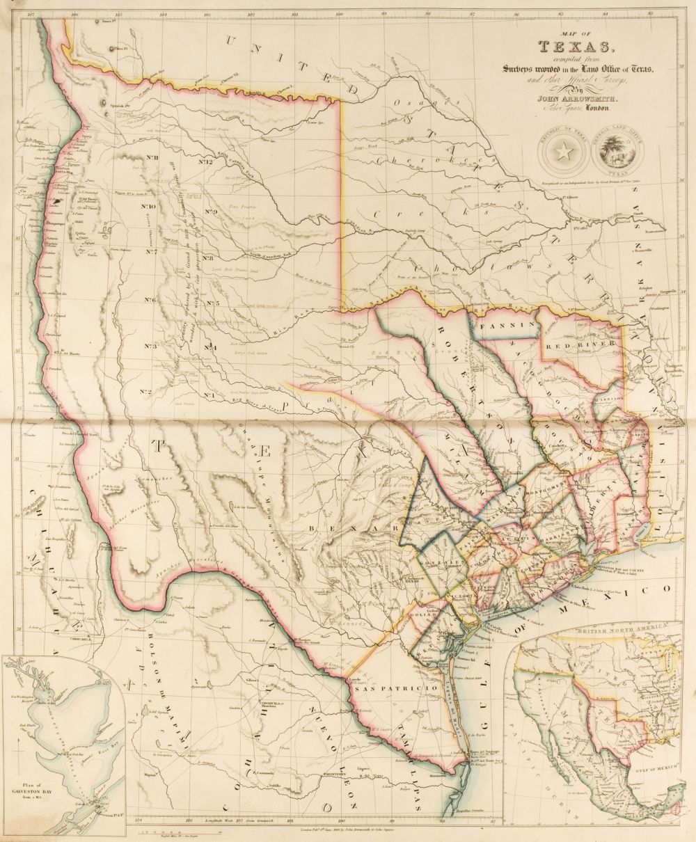
ARROWSMITH, John, (1790-1873). The London Atlas of Universal Geography, exhibiting the physical & political divisions of the various countries of the World, constructed from original materials. London: J. Arrowsmith, 1835 [-1836]. 2° (555 x 355mm). Engraved and mounted on guards throughout, title, verso blank, combined preface and contents page, verso blank, 50 double-page maps, hand-coloured or hand-coloured in outline, extra-illustrated with one additional double-page hand-coloured engraved map 'Sketch of the Acquisitions of Russia since the Accession of Peter 1st to the Throne' (dated 1836), each map with applied letterpress thumb-index title in left margin, 3 maps with folding extensions (soiling to thumb-index and verso of preface/contents leaf). Contemporary diced half russia gilt, red morocco label titled and tooled in gilt on upper cover (joints splitting, spine defective, corners rubbed). A fine copy internally of an atlas that, despite its name, includes maps of countries from all around the world. All of the maps are of the very high standard that is to be expected from John Arrowsmith: some of the more interesting are a World map on Mercator's projection; 'The Inland navigation, Rail Roads, Geology and Minerals of England & Wales'; 'Cape of Good Hope' with an applied uncoloured folding extension slip; 'Map of the Discoveries in Australia, copied from the latest M.S. Surveys in the Colonial Office'; 'Discoveries in Western Australia from documents furnished in the Colonial Office'; 'Van Diemans Land' and 'United States.' The additional map is not called for by the contents list, but is recorded in a number of other copies of this work. Cf. Phillips 764 (note).
ARROWSMITH, John, (1790-1873). The London Atlas of Universal Geography, exhibiting the physical & political divisions of the various countries of the World, constructed from original materials. London: J. Arrowsmith, 1835 [-1836]. 2° (555 x 355mm). Engraved and mounted on guards throughout, title, verso blank, combined preface and contents page, verso blank, 50 double-page maps, hand-coloured or hand-coloured in outline, extra-illustrated with one additional double-page hand-coloured engraved map 'Sketch of the Acquisitions of Russia since the Accession of Peter 1st to the Throne' (dated 1836), each map with applied letterpress thumb-index title in left margin, 3 maps with folding extensions (soiling to thumb-index and verso of preface/contents leaf). Contemporary diced half russia gilt, red morocco label titled and tooled in gilt on upper cover (joints splitting, spine defective, corners rubbed). A fine copy internally of an atlas that, despite its name, includes maps of countries from all around the world. All of the maps are of the very high standard that is to be expected from John Arrowsmith: some of the more interesting are a World map on Mercator's projection; 'The Inland navigation, Rail Roads, Geology and Minerals of England & Wales'; 'Cape of Good Hope' with an applied uncoloured folding extension slip; 'Map of the Discoveries in Australia, copied from the latest M.S. Surveys in the Colonial Office'; 'Discoveries in Western Australia from documents furnished in the Colonial Office'; 'Van Diemans Land' and 'United States.' The additional map is not called for by the contents list, but is recorded in a number of other copies of this work. Cf. Phillips 764 (note).


Testen Sie LotSearch und seine Premium-Features 7 Tage - ohne Kosten!
Lassen Sie sich automatisch über neue Objekte in kommenden Auktionen benachrichtigen.
Suchauftrag anlegen