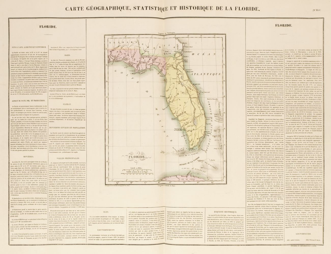
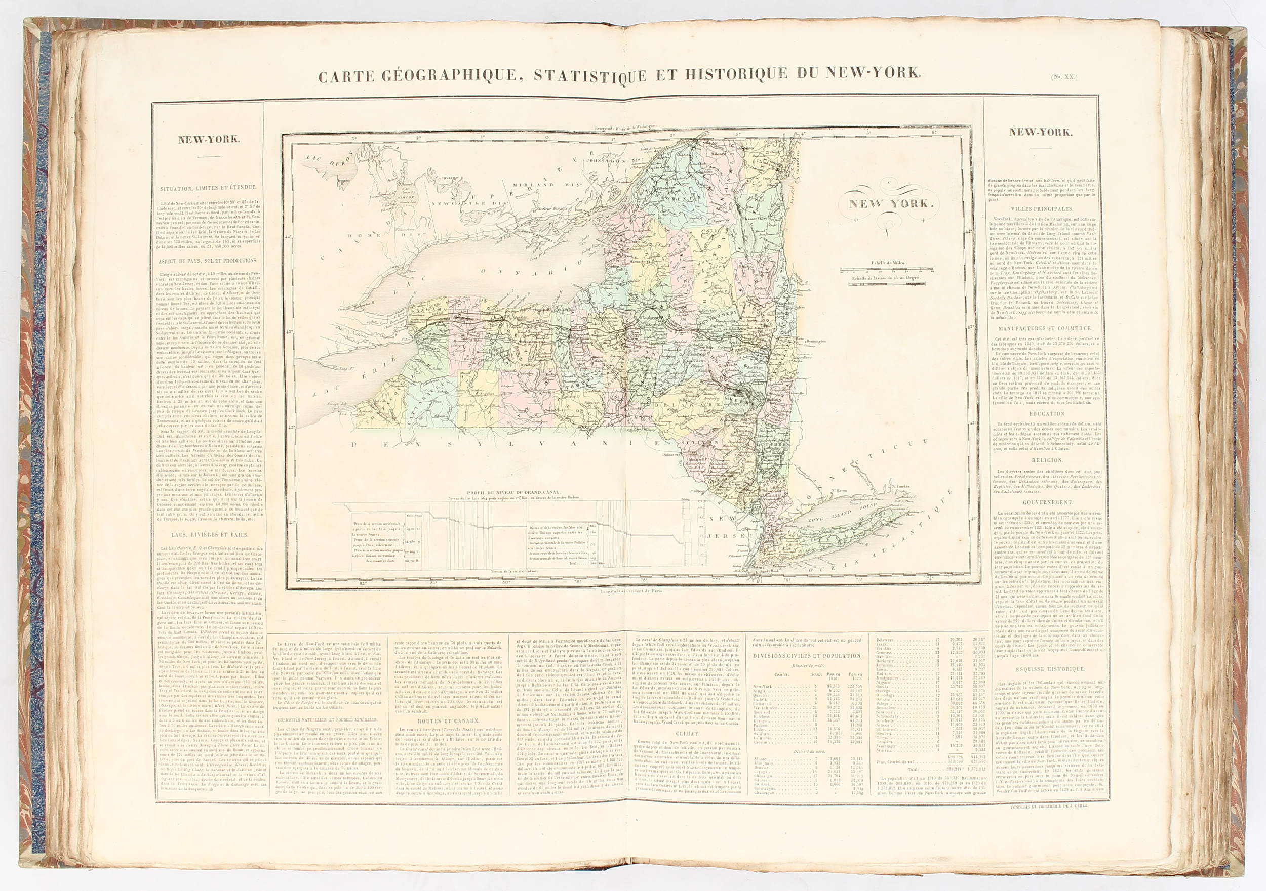
Title: Atlas Géographique, Statistique, Historique, et Chronologique des Deux Amériques et des Îles Adjacentes; Traduit de l'Atlas Exécuté en Amérique d'Après Lesage, avec de Nombreuses Corrections et Augmentations Author: Buchon, Jean Alexandre Place: Paris Publisher: J. Carez, et al. Date: 1825 Description: With 51 hand-colored double-page copper-engraved maps, all but one with printed text at the sides and bottom; double-page plates demonstrating mountain heights and river lengths; numerous tables and descriptive pages, some with hand-coloring. 21x14¼, recent half cloth & marbled boards, new endpapers. Buchon's noteworthy 1825 Atlas, a translation with some revisions of Carey & Lea's 1822 atlas, which was based on Le Sage. About 35 of the maps relate to the United States in whole or part, including maps of the individual states and territories east of the Mississippi, an important of the western territories ("Carte du Territoire d'Arkansa et des autres Territoires des Etats-Unis" - this has a small darkened patch at center), etc. There may be two folios not accounted for - either 7 and 8 or 2 and 13 - 2 seems to have been misnumbered 8 and 13 misnumbered 7, so perhaps the confusion lies with the publisher. Phillips 1176. Lot Amendments Condition: A few leaves with darkening, occasional dampstains at top margins, Chile with additional stains; most maps in very good or better condition. Item number: 185129
Title: Atlas Géographique, Statistique, Historique, et Chronologique des Deux Amériques et des Îles Adjacentes; Traduit de l'Atlas Exécuté en Amérique d'Après Lesage, avec de Nombreuses Corrections et Augmentations Author: Buchon, Jean Alexandre Place: Paris Publisher: J. Carez, et al. Date: 1825 Description: With 51 hand-colored double-page copper-engraved maps, all but one with printed text at the sides and bottom; double-page plates demonstrating mountain heights and river lengths; numerous tables and descriptive pages, some with hand-coloring. 21x14¼, recent half cloth & marbled boards, new endpapers. Buchon's noteworthy 1825 Atlas, a translation with some revisions of Carey & Lea's 1822 atlas, which was based on Le Sage. About 35 of the maps relate to the United States in whole or part, including maps of the individual states and territories east of the Mississippi, an important of the western territories ("Carte du Territoire d'Arkansa et des autres Territoires des Etats-Unis" - this has a small darkened patch at center), etc. There may be two folios not accounted for - either 7 and 8 or 2 and 13 - 2 seems to have been misnumbered 8 and 13 misnumbered 7, so perhaps the confusion lies with the publisher. Phillips 1176. Lot Amendments Condition: A few leaves with darkening, occasional dampstains at top margins, Chile with additional stains; most maps in very good or better condition. Item number: 185129


.jpg)

.jpg)


Testen Sie LotSearch und seine Premium-Features 7 Tage - ohne Kosten!
Lassen Sie sich automatisch über neue Objekte in kommenden Auktionen benachrichtigen.
Suchauftrag anlegen