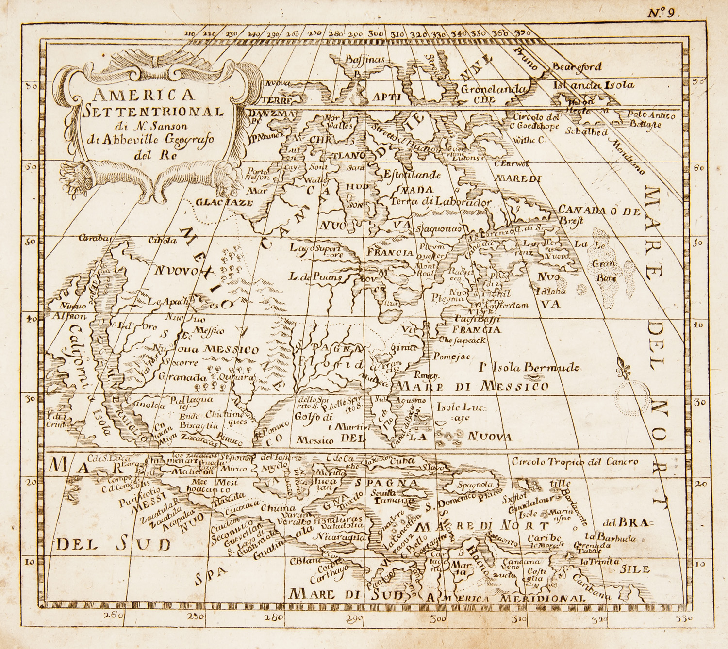
[Atlas - World] [SANSON d'ABBÉVILLE, Nicolas The Atlas by Sanson. Amsterdam, P. Mortier; M. Huguetan, 1690-1719?] Large folio on "Oliphant paper, sheets per ream": maps (3 fold.), old hand-coloured (sm. water stains in margins, last map of Portugal torn off). Contemp. calf, gilt-tooled spine with bands (weak joints, corners and edges worn, generally us.). Unique atlas assembled by order of the private collector with the usual handwritten register. Early example (most likely preceding the "New Atlas by Sanson" published by J. Covens and Mortier (1721-1778)) with maps published by P. Mortier (i.e. before his death in while 5 maps indicate "Pierre Mortier et compagnie" applying to Mortier's partnership with the immigrant French bookseller Marc Huguetan. Their partnership dates from and continued until the death of Mortier's wife in This copy includes P. Mortier's newly published "Théâtre de la guerre en Amérique", Sanson maps of which 9 published by H. Jaillot while the other are re-editions published by P. Mortier alone or in a joint venture with M. Huguetan, 4 continent maps of Asia, Europe, America and Africa by François Halma (1653-and a large folding map of Portugal by Jean Besson (1685-1706). Sanson's maps are of, in order, the Turkish empire, the Mediterranean, Spain, France, Picardy, Artois, Hainaut, Brabant, Flanders, the Rhine, the Danube, Germany, Scandinavia, the Channel, the British Isles, Zeeland, Holland, the United Provinces, Southern Netherlands, Asia, Europe, North America, South America, Africa and the world map. The absence of a title is not unusual in assembled atlases. Ref. Koeman III, pp. 6-8 & II, p. Prov. "J. van Huerne de Pueyenbeke" (handwritten). - "Josephe de Pelichy" (handwritten). - Libr. stamp.
[Atlas - World] [SANSON d'ABBÉVILLE, Nicolas The Atlas by Sanson. Amsterdam, P. Mortier; M. Huguetan, 1690-1719?] Large folio on "Oliphant paper, sheets per ream": maps (3 fold.), old hand-coloured (sm. water stains in margins, last map of Portugal torn off). Contemp. calf, gilt-tooled spine with bands (weak joints, corners and edges worn, generally us.). Unique atlas assembled by order of the private collector with the usual handwritten register. Early example (most likely preceding the "New Atlas by Sanson" published by J. Covens and Mortier (1721-1778)) with maps published by P. Mortier (i.e. before his death in while 5 maps indicate "Pierre Mortier et compagnie" applying to Mortier's partnership with the immigrant French bookseller Marc Huguetan. Their partnership dates from and continued until the death of Mortier's wife in This copy includes P. Mortier's newly published "Théâtre de la guerre en Amérique", Sanson maps of which 9 published by H. Jaillot while the other are re-editions published by P. Mortier alone or in a joint venture with M. Huguetan, 4 continent maps of Asia, Europe, America and Africa by François Halma (1653-and a large folding map of Portugal by Jean Besson (1685-1706). Sanson's maps are of, in order, the Turkish empire, the Mediterranean, Spain, France, Picardy, Artois, Hainaut, Brabant, Flanders, the Rhine, the Danube, Germany, Scandinavia, the Channel, the British Isles, Zeeland, Holland, the United Provinces, Southern Netherlands, Asia, Europe, North America, South America, Africa and the world map. The absence of a title is not unusual in assembled atlases. Ref. Koeman III, pp. 6-8 & II, p. Prov. "J. van Huerne de Pueyenbeke" (handwritten). - "Josephe de Pelichy" (handwritten). - Libr. stamp.


.jpg)


Testen Sie LotSearch und seine Premium-Features 7 Tage - ohne Kosten!
Lassen Sie sich automatisch über neue Objekte in kommenden Auktionen benachrichtigen.
Suchauftrag anlegen