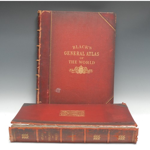
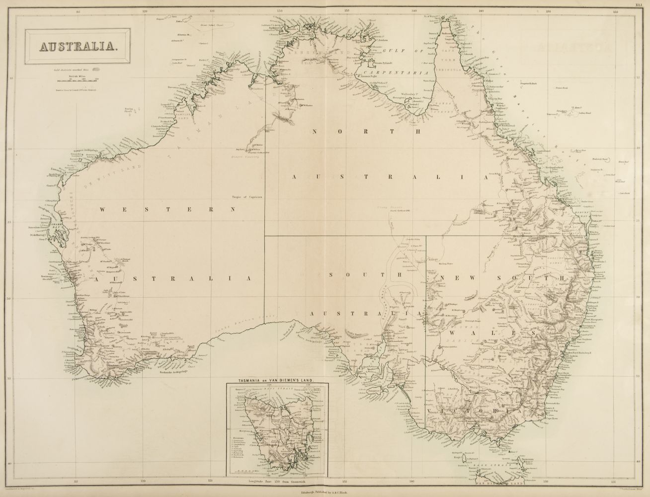
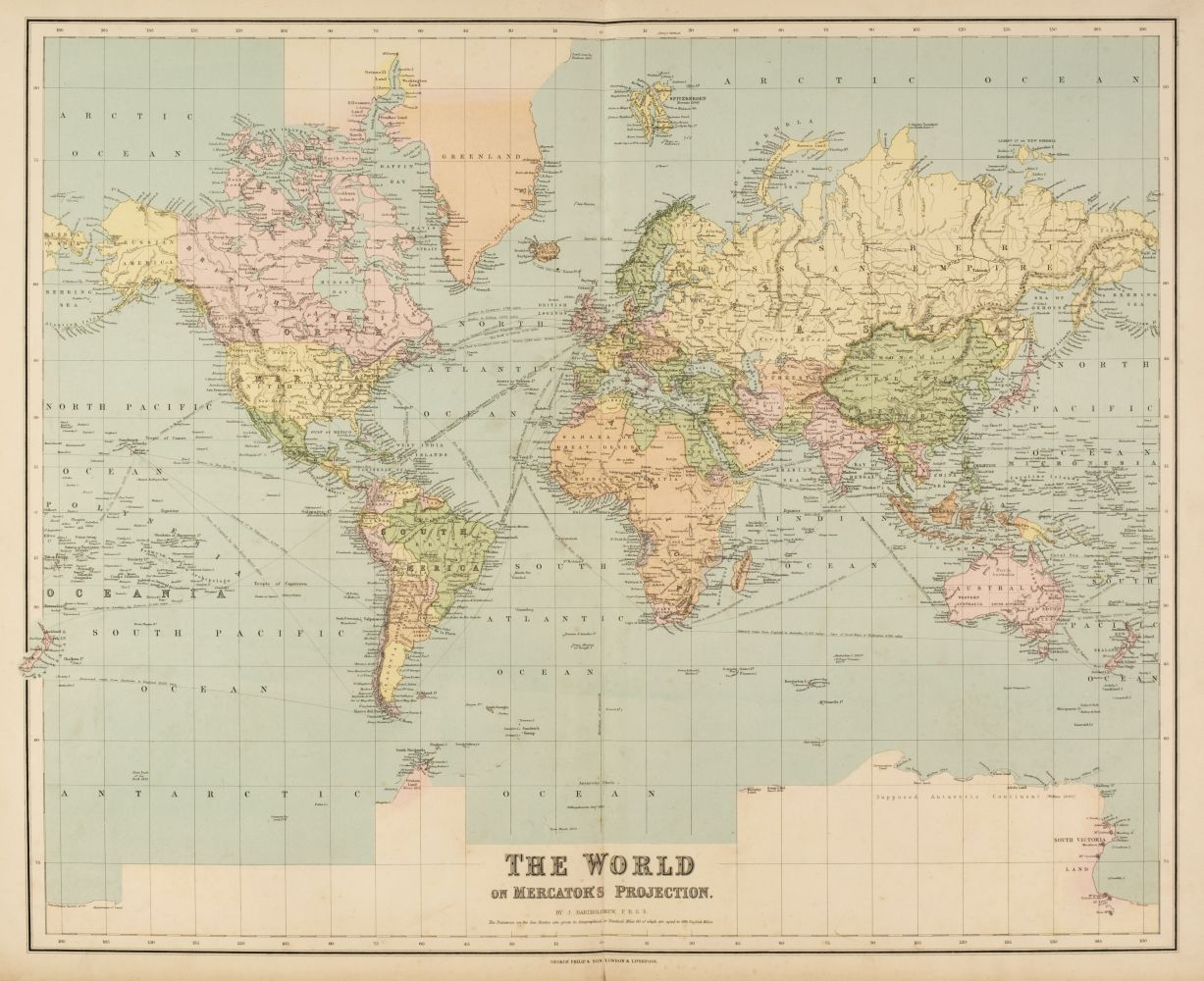
Title: Black's General Atlas of the World...Embracing the Latest Discoveries, New Boundaries, and Other Changes, Accompanied by Introduction Letterpress and Index Author: Black, Adam and Charles Place: Edinburgh Publisher: Adam and Charles Black Date: 1885 Description: 32, 55, 70 pp. With 61 color maps (31 are double-page); hand-colored frontispiece showing the Flags of all Nations; 2 pages in color showing hemispheric views and comparative river and mountain views; 2 pages (in color) showing Ethnographical Chart of the World with various map views; 2 color plates of statistical charts; constellations page with 2 charts; and a color plate showing the Solar System and the Seasons. (Folio) 17¾x13, publisher's half green morocco and cloth, stamped and lettered in gilt, raised bands, hinges reinforced, all edges gilt. "New and Revised Edition." Black's atlas complete with most of the maps focusing on the United States. The double-page maps include: The World; the various countries of Europe; Russia (which has some penciling); Asia; India (north and south); the Indian Archipelago; Africa; South Africa; North America (some blue ink coloring); United States; various parts of Canada; New York; Pennsylvania and New Jersey; Southern and Pacific U.S. States; South America; Australia; Oceania and the Pacific Ocean; etc. Lot Amendments Condition: Moisture wear and soiling to covers (slightly affecting interior - chiefly to margins), large paper label remnants on rear cover, edge wear; foxing and other mild and general wear; some maps with pencil and/or inked marks and coloring (mostly to Spain/Portugal and Turkey in Greece maps); interior very good, exterior good. Item number: 144274
Title: Black's General Atlas of the World...Embracing the Latest Discoveries, New Boundaries, and Other Changes, Accompanied by Introduction Letterpress and Index Author: Black, Adam and Charles Place: Edinburgh Publisher: Adam and Charles Black Date: 1885 Description: 32, 55, 70 pp. With 61 color maps (31 are double-page); hand-colored frontispiece showing the Flags of all Nations; 2 pages in color showing hemispheric views and comparative river and mountain views; 2 pages (in color) showing Ethnographical Chart of the World with various map views; 2 color plates of statistical charts; constellations page with 2 charts; and a color plate showing the Solar System and the Seasons. (Folio) 17¾x13, publisher's half green morocco and cloth, stamped and lettered in gilt, raised bands, hinges reinforced, all edges gilt. "New and Revised Edition." Black's atlas complete with most of the maps focusing on the United States. The double-page maps include: The World; the various countries of Europe; Russia (which has some penciling); Asia; India (north and south); the Indian Archipelago; Africa; South Africa; North America (some blue ink coloring); United States; various parts of Canada; New York; Pennsylvania and New Jersey; Southern and Pacific U.S. States; South America; Australia; Oceania and the Pacific Ocean; etc. Lot Amendments Condition: Moisture wear and soiling to covers (slightly affecting interior - chiefly to margins), large paper label remnants on rear cover, edge wear; foxing and other mild and general wear; some maps with pencil and/or inked marks and coloring (mostly to Spain/Portugal and Turkey in Greece maps); interior very good, exterior good. Item number: 144274


Testen Sie LotSearch und seine Premium-Features 7 Tage - ohne Kosten!
Lassen Sie sich automatisch über neue Objekte in kommenden Auktionen benachrichtigen.
Suchauftrag anlegen