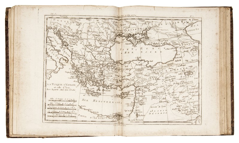
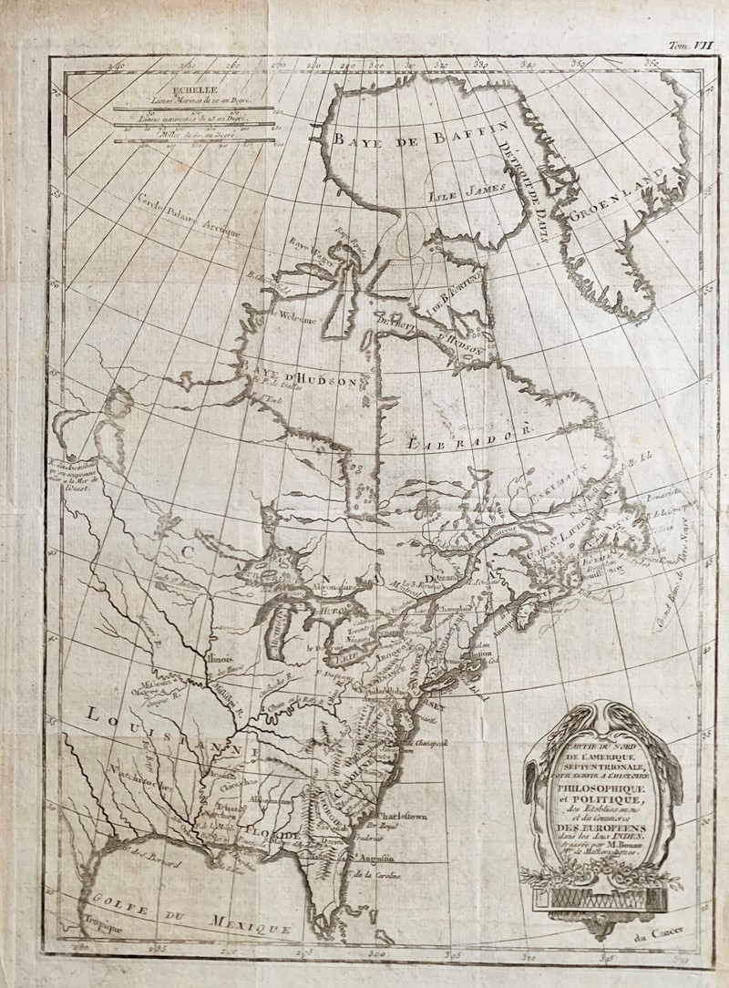
* BONNE, Rigobert (1727-1794) - Guillaume RAYNAL (1713-1796) Atlas de toutes les parties connues du globe terrestre. [Geneva: Jean-Leonard Pellet, 1782?]. 4to (255 x 213 mm). Half-title, 24pp. text, 50 hand-colored engraved maps. (Lacks folding tables, some light spotting or offsetting.) Later quarter brown morocco, marbled boards. A fine copy of the atlas to accompany Raynal's L'Histoire Philosophique et Politique des Etablissemens et du Commerce des Europeens dans les Deux Indes , comprising maps by Bonne engraved by Andre. [ Tipped in: ] 6 engraved maps hand-colored in outline, comprising: VAUGONDY, Robert de, after. Partie Occidentale de la Carte des Anciennes Monarchies. Paris: Delamarche and Dien, ca 1800. - VAUGONDY, Robert de, after. Partie Orientale de la Carte des Anciennes Monarchies. Paris: Delamarche and Dien, ca 1800. - SANSON, Nicolas, after. Imperii Romani Occidents seilicet et Orientis Tabula.. Paris: Delamarche, n.d. - DELISLE, Guillaume, after. Carte General de la Syrie Palestine Isle de Chypre. Paris: Delamarche, 1764 or later. - Imperii Occidentis Tabula synoptica. N.p.: n.p., n.d. - VAUGONDY, Robert de, after. Carte Générale de l'Amérique divisée en ses principaux états. Paris: Delamarche, 1821. Estimate $ 1,200-1,800 Property from the Collection of Richard Coy, Ann Arbor, Michigan
* BONNE, Rigobert (1727-1794) - Guillaume RAYNAL (1713-1796) Atlas de toutes les parties connues du globe terrestre. [Geneva: Jean-Leonard Pellet, 1782?]. 4to (255 x 213 mm). Half-title, 24pp. text, 50 hand-colored engraved maps. (Lacks folding tables, some light spotting or offsetting.) Later quarter brown morocco, marbled boards. A fine copy of the atlas to accompany Raynal's L'Histoire Philosophique et Politique des Etablissemens et du Commerce des Europeens dans les Deux Indes , comprising maps by Bonne engraved by Andre. [ Tipped in: ] 6 engraved maps hand-colored in outline, comprising: VAUGONDY, Robert de, after. Partie Occidentale de la Carte des Anciennes Monarchies. Paris: Delamarche and Dien, ca 1800. - VAUGONDY, Robert de, after. Partie Orientale de la Carte des Anciennes Monarchies. Paris: Delamarche and Dien, ca 1800. - SANSON, Nicolas, after. Imperii Romani Occidents seilicet et Orientis Tabula.. Paris: Delamarche, n.d. - DELISLE, Guillaume, after. Carte General de la Syrie Palestine Isle de Chypre. Paris: Delamarche, 1764 or later. - Imperii Occidentis Tabula synoptica. N.p.: n.p., n.d. - VAUGONDY, Robert de, after. Carte Générale de l'Amérique divisée en ses principaux états. Paris: Delamarche, 1821. Estimate $ 1,200-1,800 Property from the Collection of Richard Coy, Ann Arbor, Michigan


.jpg)


Testen Sie LotSearch und seine Premium-Features 7 Tage - ohne Kosten!
Lassen Sie sich automatisch über neue Objekte in kommenden Auktionen benachrichtigen.
Suchauftrag anlegen