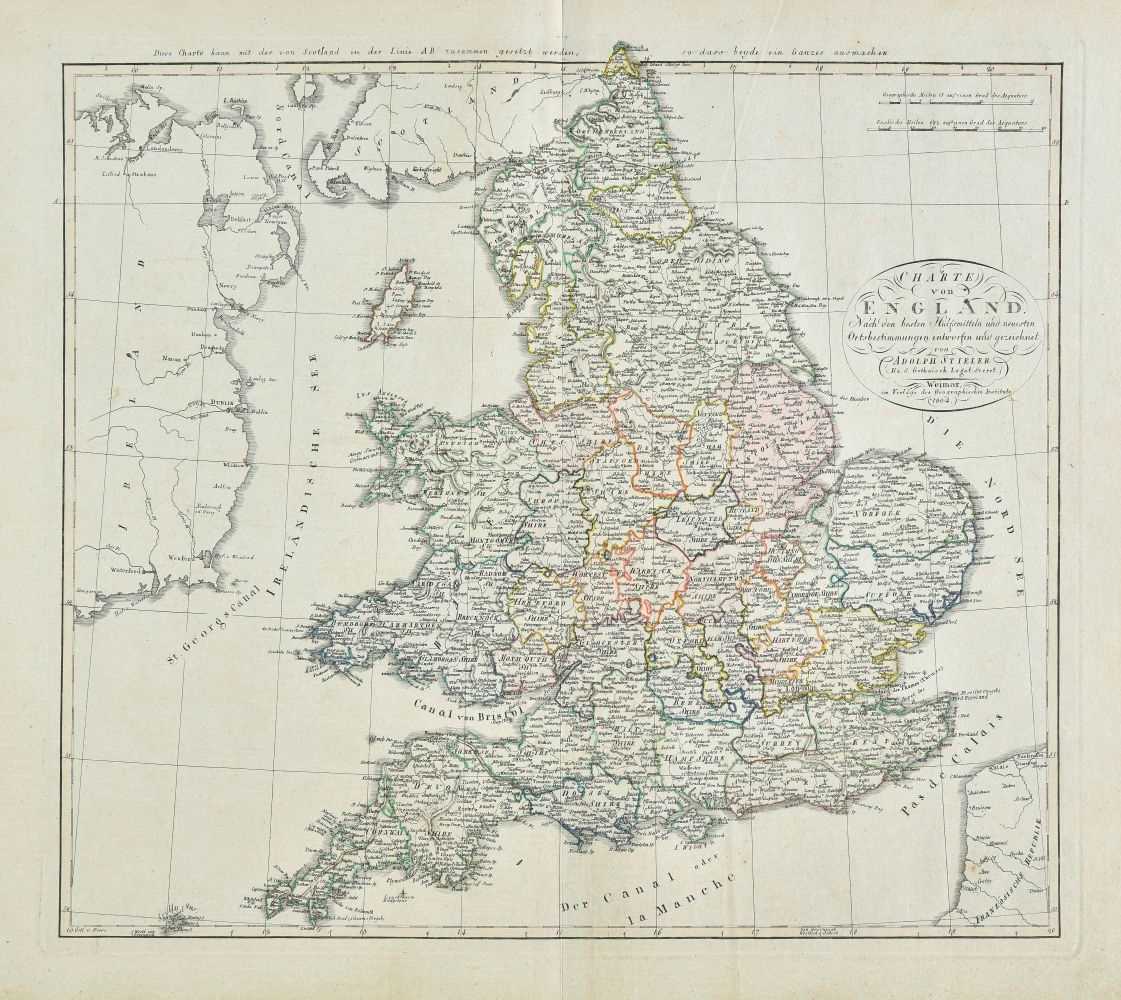
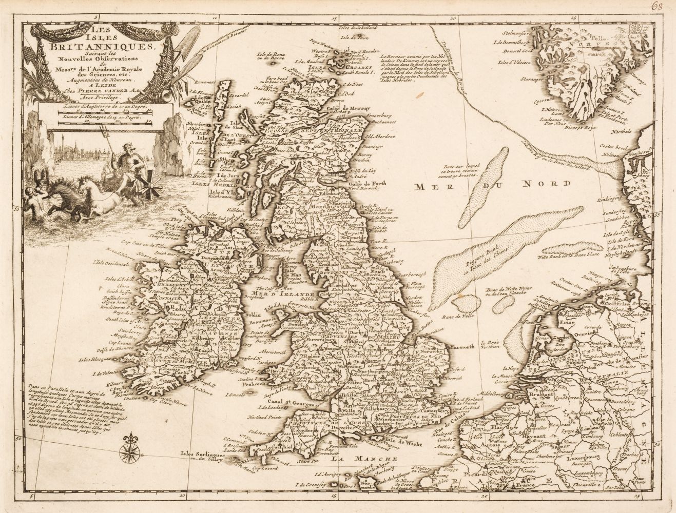
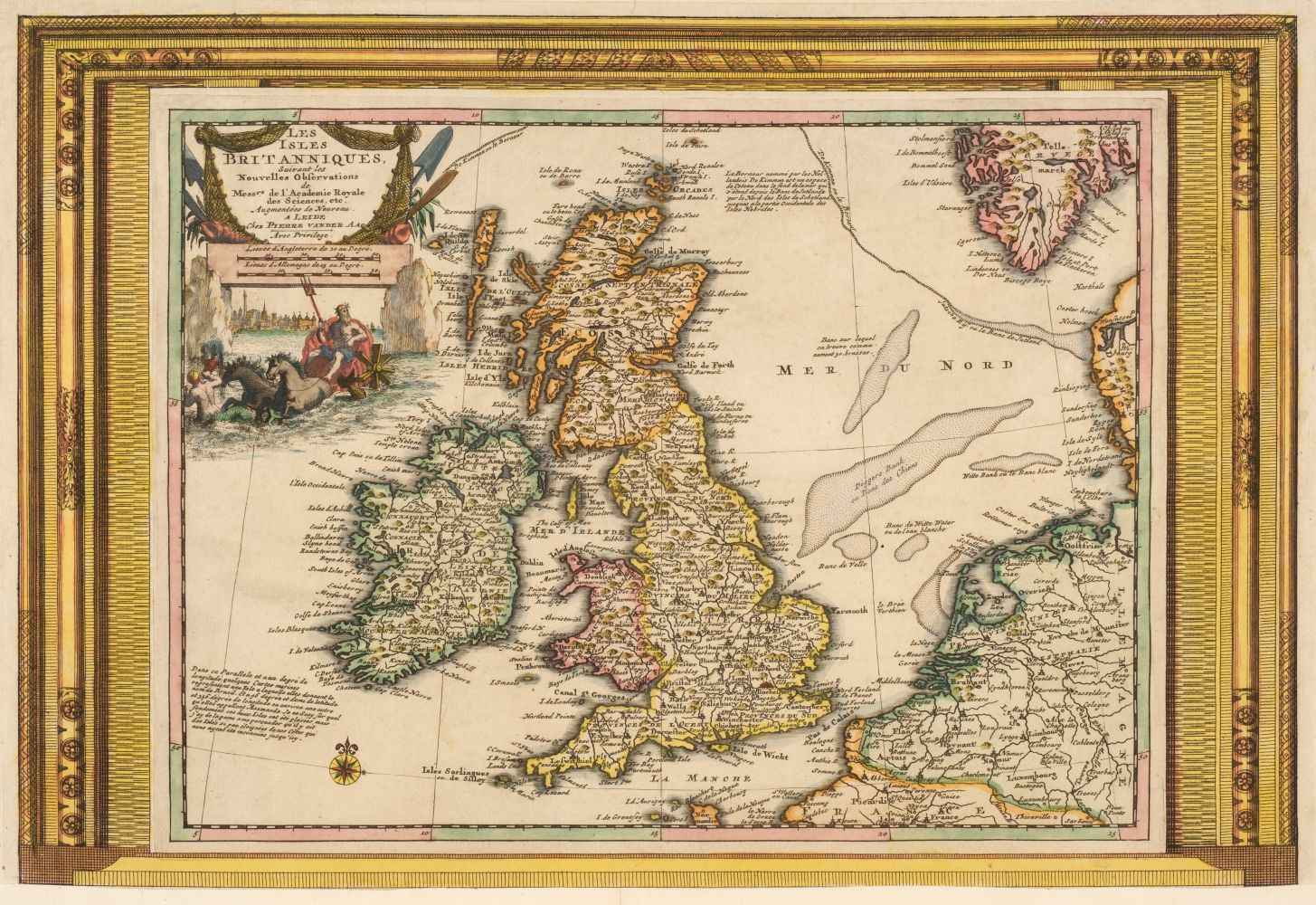
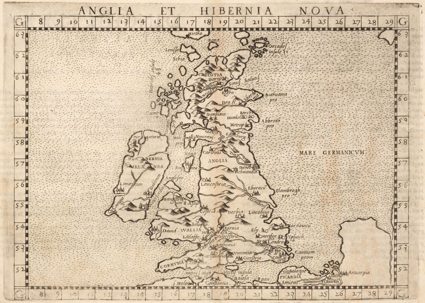
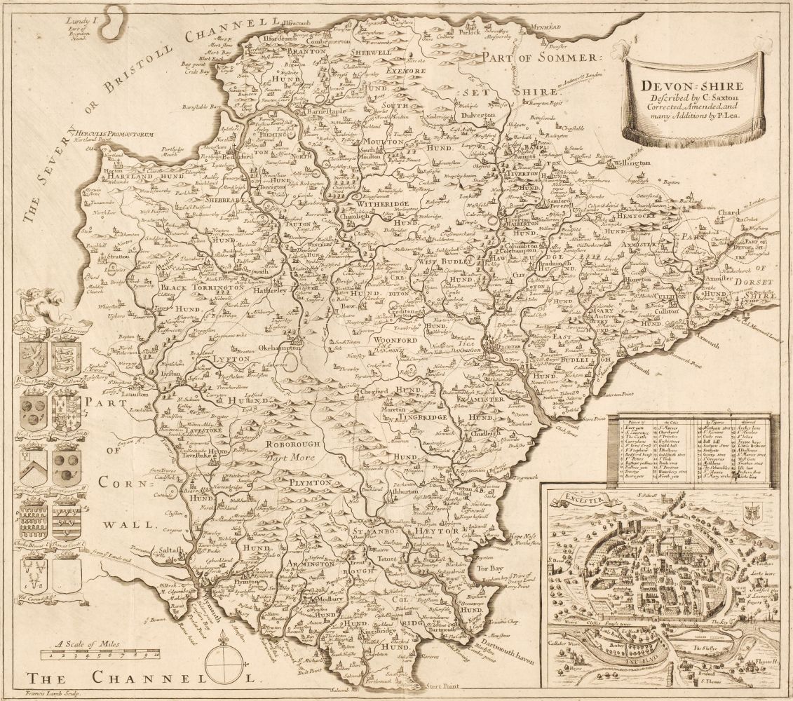
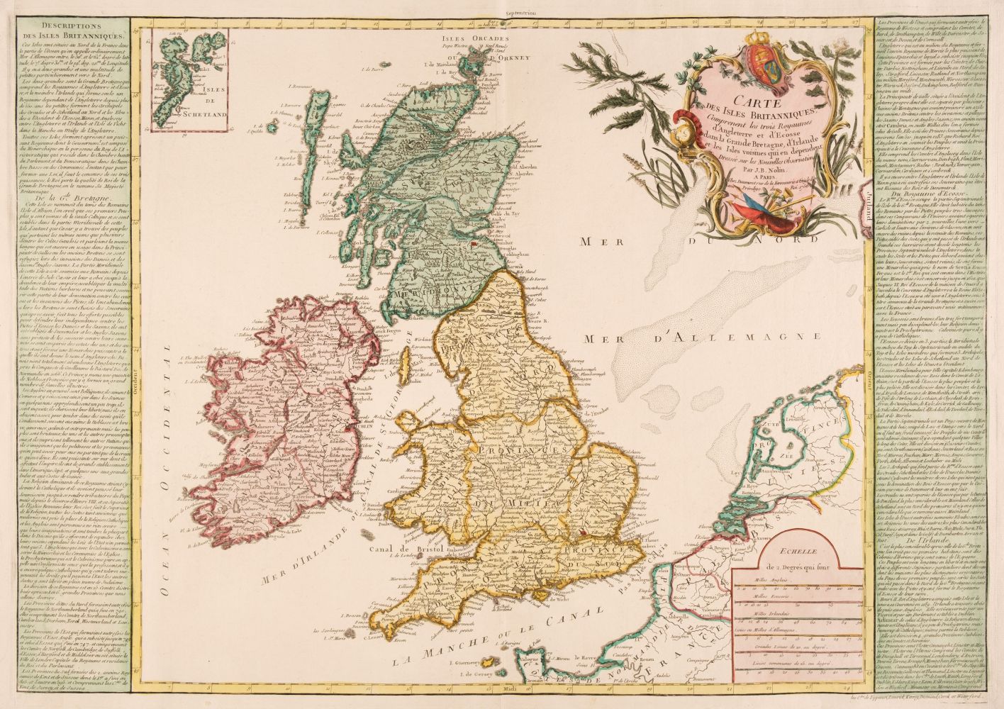
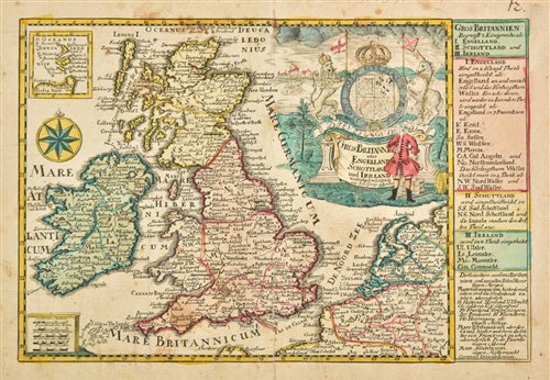
British Isles. A Collection of 46 maps, 17th - 19th century, engraved and lithographic maps including Bowen (Emanuel). A New and Accurate Map of Great Britain & Ireland, together with their Respective Islands..., 1752, hand-coloured engraved map, large maritime cartouche, 345 x 425 mm, together with Briet (Phillipe). Albion seu Britannia Maior, Le Royaume de la Grande Bretaigne, [and] La Vraye Angleterre Dicte Aultrement Loegrie [1648], together three uncoloured engraved maps, each approximately 195 x 145 mm, with Brion de la Tour. L'Angleterre divisée en 5 Grandes Parties..., Paris, 1786, engraved map with contemporary outline colouring, floriate margins, 285 x 315 mm, plus Bowles (Henry). Bowles's New Medium Map of England and Wales, Divided into their Counties..., [1795], engraved map with sparse outline colouring, some dust soiling, slight creasing, 325 x 225 mm, with another 40 maps of the British Isles and England & Wales, including examples by or after Bodenehr, Beer/Hoffman, Bowen (Emanuel & Thomas), Bayly, Bacon, A & C Black, Buffier, Badeslade & Toms, Barlow, Brion de la Tour, Burghers, Puffendorf/Nolin, Blondeau, Bell, Bertholon, Barlow, Hinton, Bickham, Becker, Finley & Fosset, occasional duplicates, various sizes and condition
British Isles. A Collection of 46 maps, 17th - 19th century, engraved and lithographic maps including Bowen (Emanuel). A New and Accurate Map of Great Britain & Ireland, together with their Respective Islands..., 1752, hand-coloured engraved map, large maritime cartouche, 345 x 425 mm, together with Briet (Phillipe). Albion seu Britannia Maior, Le Royaume de la Grande Bretaigne, [and] La Vraye Angleterre Dicte Aultrement Loegrie [1648], together three uncoloured engraved maps, each approximately 195 x 145 mm, with Brion de la Tour. L'Angleterre divisée en 5 Grandes Parties..., Paris, 1786, engraved map with contemporary outline colouring, floriate margins, 285 x 315 mm, plus Bowles (Henry). Bowles's New Medium Map of England and Wales, Divided into their Counties..., [1795], engraved map with sparse outline colouring, some dust soiling, slight creasing, 325 x 225 mm, with another 40 maps of the British Isles and England & Wales, including examples by or after Bodenehr, Beer/Hoffman, Bowen (Emanuel & Thomas), Bayly, Bacon, A & C Black, Buffier, Badeslade & Toms, Barlow, Brion de la Tour, Burghers, Puffendorf/Nolin, Blondeau, Bell, Bertholon, Barlow, Hinton, Bickham, Becker, Finley & Fosset, occasional duplicates, various sizes and condition



Testen Sie LotSearch und seine Premium-Features 7 Tage - ohne Kosten!
Lassen Sie sich automatisch über neue Objekte in kommenden Auktionen benachrichtigen.
Suchauftrag anlegen