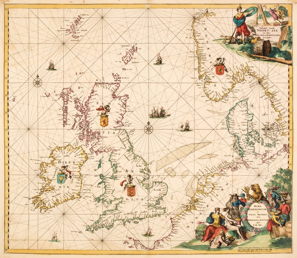
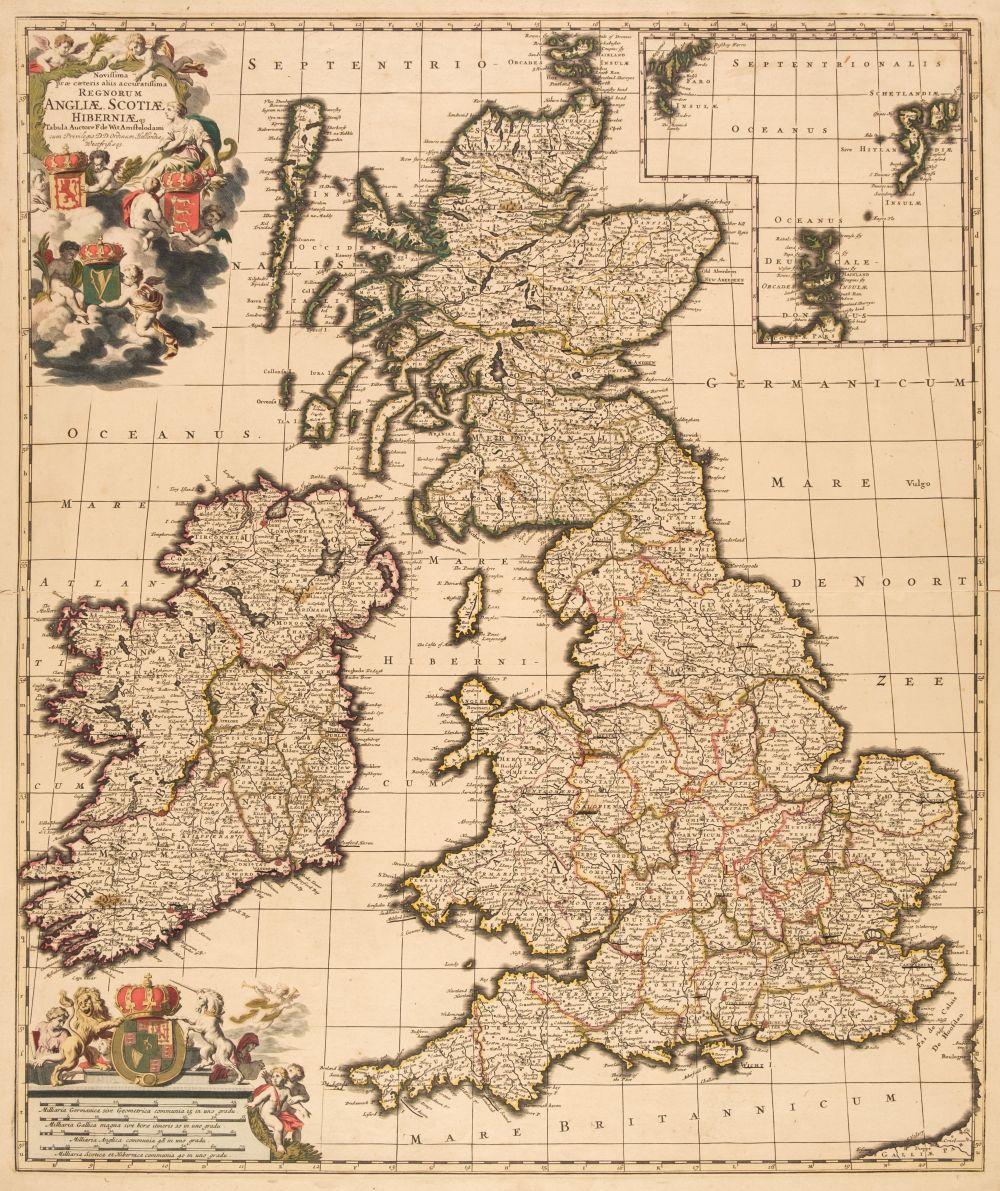
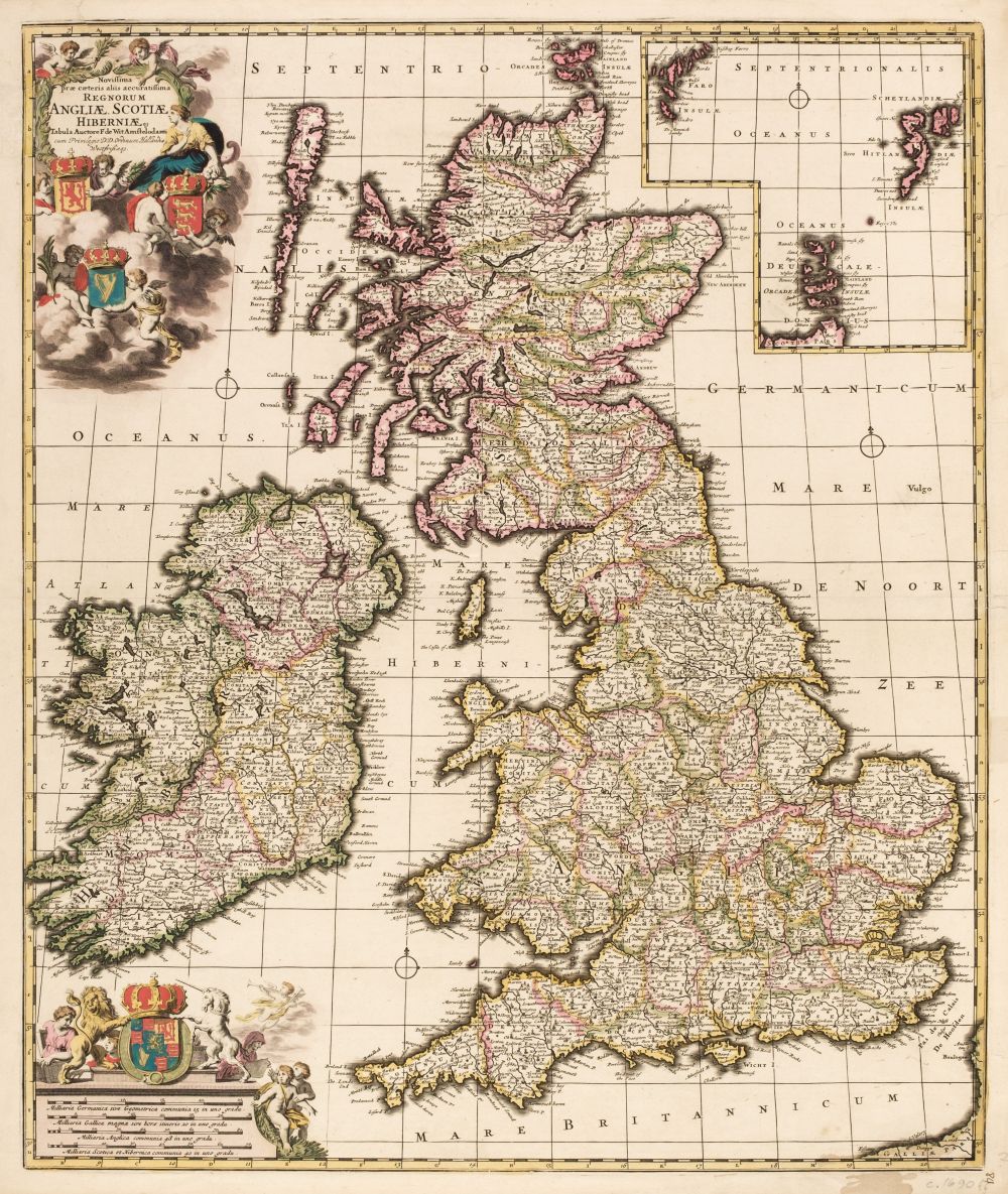
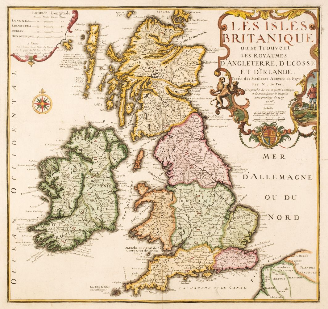
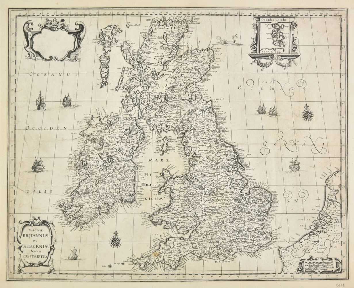
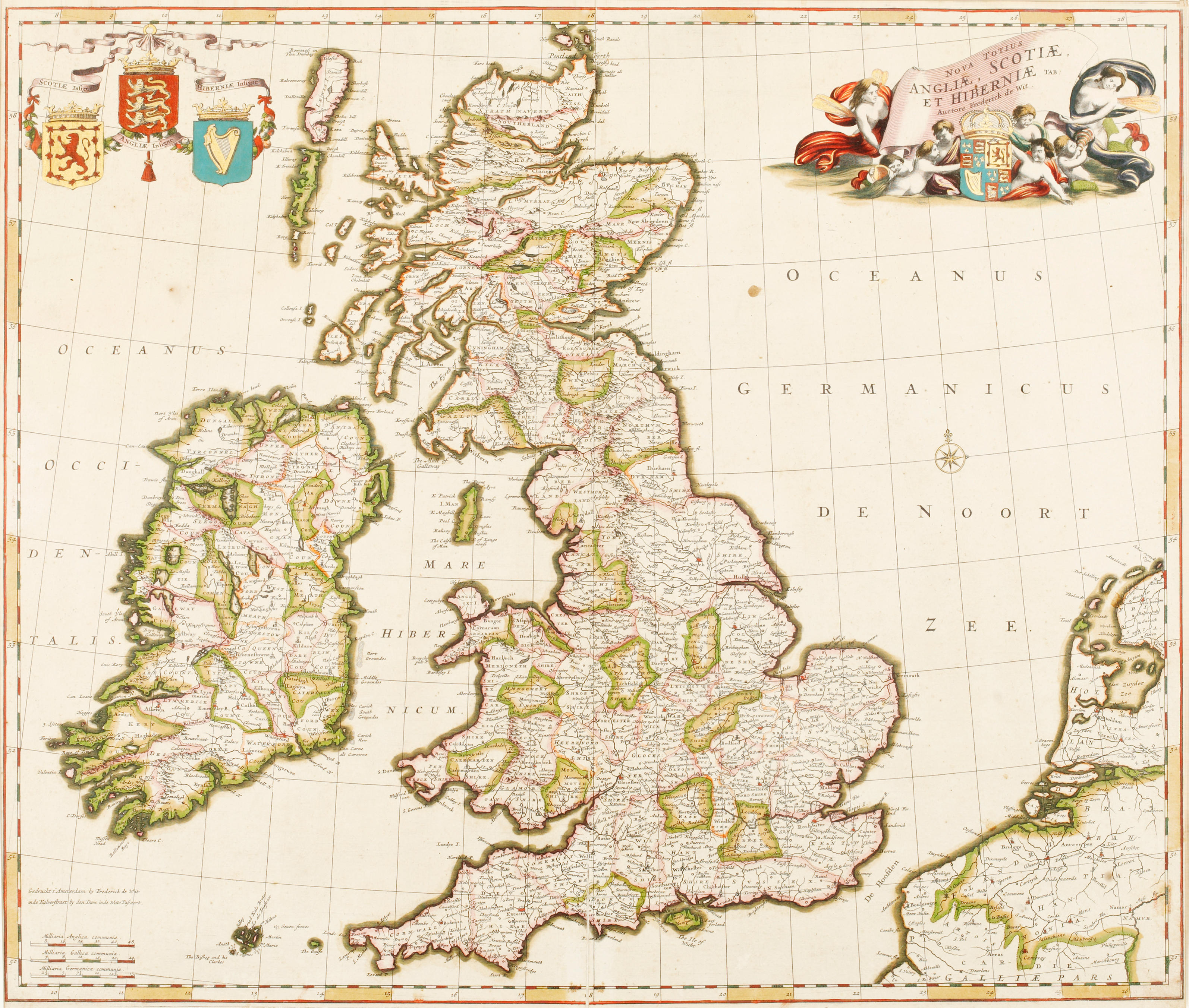
British Isles. De Wit (Frederick), Tractus Regni Angliae Septentrion. in quo Ducatus Eboracensis, Episcopatus Dunelmensis, Comitatus Northumbriae, Cumbriae, Westmoriae, et Lancastriae cum Mona Insula, Amsterdam: circa 1690, uncoloured engraved map, decorative cartouche, occasional marginal closed tears, 485 x 585 mm, together with Occidentalior Regni Angliae Districtus Comprehendens Principatum Walliae et Glocestriae..., Amsterdam: circa 1690, uncoloured engraved map, decorative cartouche, occasional marginal closed tears and slight fraying, repaired and strengthened on verso, 580 x 500 mm, with Orientalior Districtus Regni Angliae Comprehendens Comitatus et Provincias Cantium, Suthsexiam Hantoniam, Surriam, Essexiam..., Amsterdam: circa 1690, uncoloured engraved map, decorative cartouche, some marginal closed tears, repaired and strengthened on verso, 585 x 490 mm, plus Visscher (Nicolas). Manica Gallis La Manche et Belgis Het Canaal pars Oceani inter Angliam et Galliam..., uncoloured engraved map, slight marginal fraying, 480 x 575 mm, and Doncker (Hendrick). Pascaert van de Westcust van Schotland..., Amsterdam: circa 1670, uncoloured engraved sea chart, narrow margins, repaired marginal closed tears, several small repaired holes affecting the image, slight staining and creasing, some thinning to the paper, 430 x 530 mm, with Moll (Herman). A New Map of Great Britain According to the Newest and most Exact Observations, [1715 - 30], an engraved map with contemporary outline colouring on two sheets, not conjoined, inset map of the Shetland and Orkney islands, some creasing and marginal closed tears, splits along old folds, long closed tear affecting the printed image, 1020 x 615 mm (if conjoined) (Quantity: 6)
British Isles. De Wit (Frederick), Tractus Regni Angliae Septentrion. in quo Ducatus Eboracensis, Episcopatus Dunelmensis, Comitatus Northumbriae, Cumbriae, Westmoriae, et Lancastriae cum Mona Insula, Amsterdam: circa 1690, uncoloured engraved map, decorative cartouche, occasional marginal closed tears, 485 x 585 mm, together with Occidentalior Regni Angliae Districtus Comprehendens Principatum Walliae et Glocestriae..., Amsterdam: circa 1690, uncoloured engraved map, decorative cartouche, occasional marginal closed tears and slight fraying, repaired and strengthened on verso, 580 x 500 mm, with Orientalior Districtus Regni Angliae Comprehendens Comitatus et Provincias Cantium, Suthsexiam Hantoniam, Surriam, Essexiam..., Amsterdam: circa 1690, uncoloured engraved map, decorative cartouche, some marginal closed tears, repaired and strengthened on verso, 585 x 490 mm, plus Visscher (Nicolas). Manica Gallis La Manche et Belgis Het Canaal pars Oceani inter Angliam et Galliam..., uncoloured engraved map, slight marginal fraying, 480 x 575 mm, and Doncker (Hendrick). Pascaert van de Westcust van Schotland..., Amsterdam: circa 1670, uncoloured engraved sea chart, narrow margins, repaired marginal closed tears, several small repaired holes affecting the image, slight staining and creasing, some thinning to the paper, 430 x 530 mm, with Moll (Herman). A New Map of Great Britain According to the Newest and most Exact Observations, [1715 - 30], an engraved map with contemporary outline colouring on two sheets, not conjoined, inset map of the Shetland and Orkney islands, some creasing and marginal closed tears, splits along old folds, long closed tear affecting the printed image, 1020 x 615 mm (if conjoined) (Quantity: 6)




Testen Sie LotSearch und seine Premium-Features 7 Tage - ohne Kosten!
Lassen Sie sich automatisch über neue Objekte in kommenden Auktionen benachrichtigen.
Suchauftrag anlegen