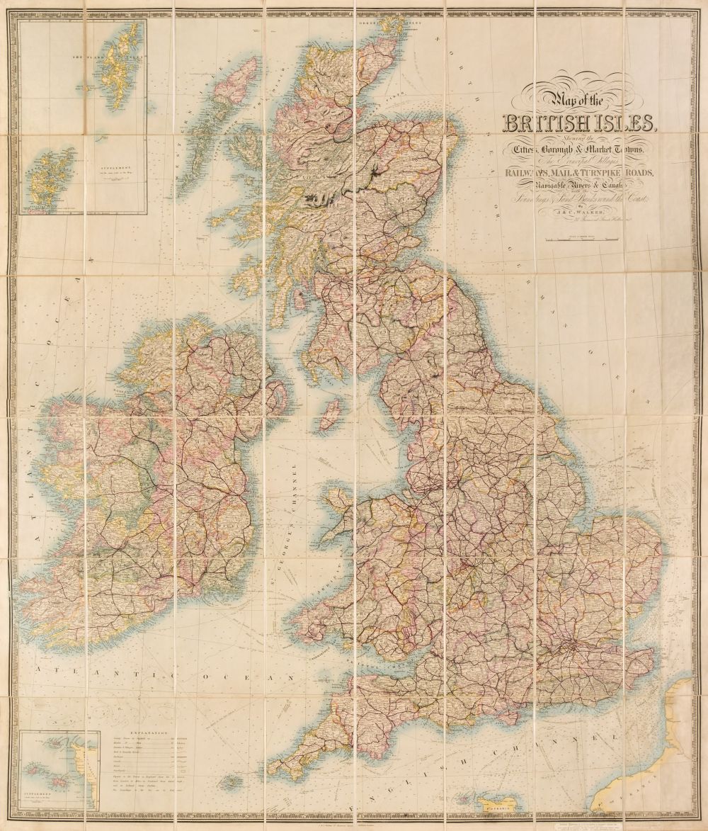
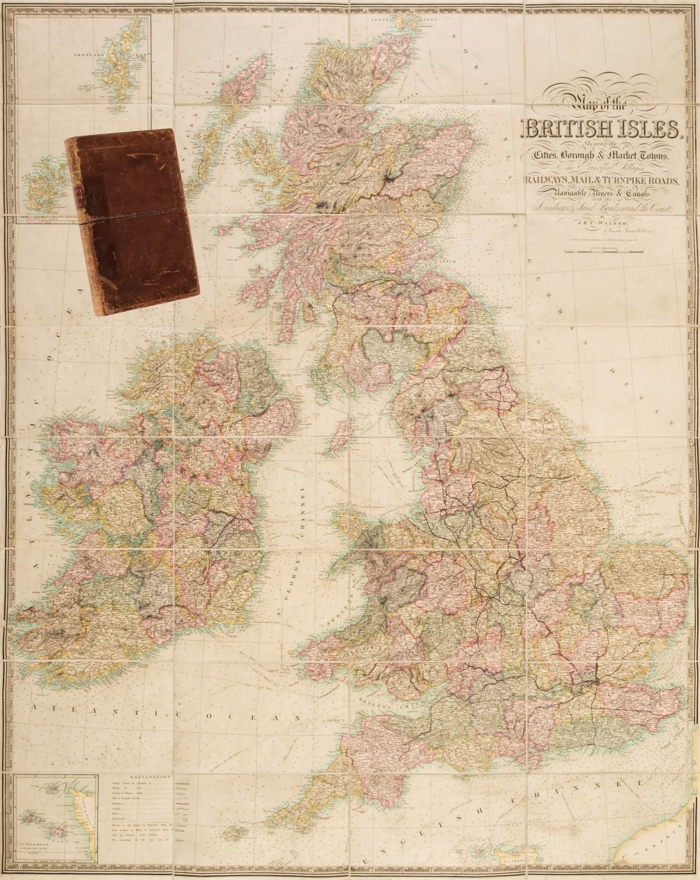
British Isles. Walker (J. & C.). Map of the British Isles Showing the Cities, Borough & Market Towns, The Principal Villages, Railways, Mail & Turnpike Roads, Navigable Rivers & Canals with the Soundings & Sand Banks round the Coast, sold by Edward Stanford, circa 1850, engraved map with contemporary wash colouring, sectionalised and laid on linen, calligraphic title, table of explanation, inset maps of the Scilly Isles and the Shetland & Orkney Islands, endpapers as advertisements for Edward Stanford, 1240 x 1065 mm, together with Cruchley (GH. F. publisher). North of England with part of Scotland from the Ordnance Survey, circa 1860, engraved map with contemporary outline colouring, sectionalised and laid on linen, some dust soiling and slight staining, some staining to the verso, marbled endpapers, 1450 x 1570 mm, bound in contemporary cloth boards with gilt morocco label to the upper siding, upper board detached, bumped, worn and frayed (Quantity: 2)
British Isles. Walker (J. & C.). Map of the British Isles Showing the Cities, Borough & Market Towns, The Principal Villages, Railways, Mail & Turnpike Roads, Navigable Rivers & Canals with the Soundings & Sand Banks round the Coast, sold by Edward Stanford, circa 1850, engraved map with contemporary wash colouring, sectionalised and laid on linen, calligraphic title, table of explanation, inset maps of the Scilly Isles and the Shetland & Orkney Islands, endpapers as advertisements for Edward Stanford, 1240 x 1065 mm, together with Cruchley (GH. F. publisher). North of England with part of Scotland from the Ordnance Survey, circa 1860, engraved map with contemporary outline colouring, sectionalised and laid on linen, some dust soiling and slight staining, some staining to the verso, marbled endpapers, 1450 x 1570 mm, bound in contemporary cloth boards with gilt morocco label to the upper siding, upper board detached, bumped, worn and frayed (Quantity: 2)






Testen Sie LotSearch und seine Premium-Features 7 Tage - ohne Kosten!
Lassen Sie sich automatisch über neue Objekte in kommenden Auktionen benachrichtigen.
Suchauftrag anlegen