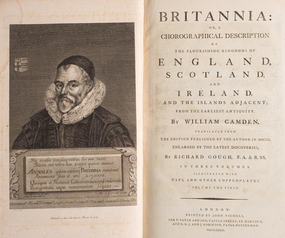
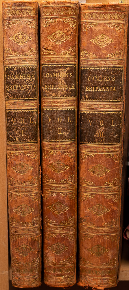
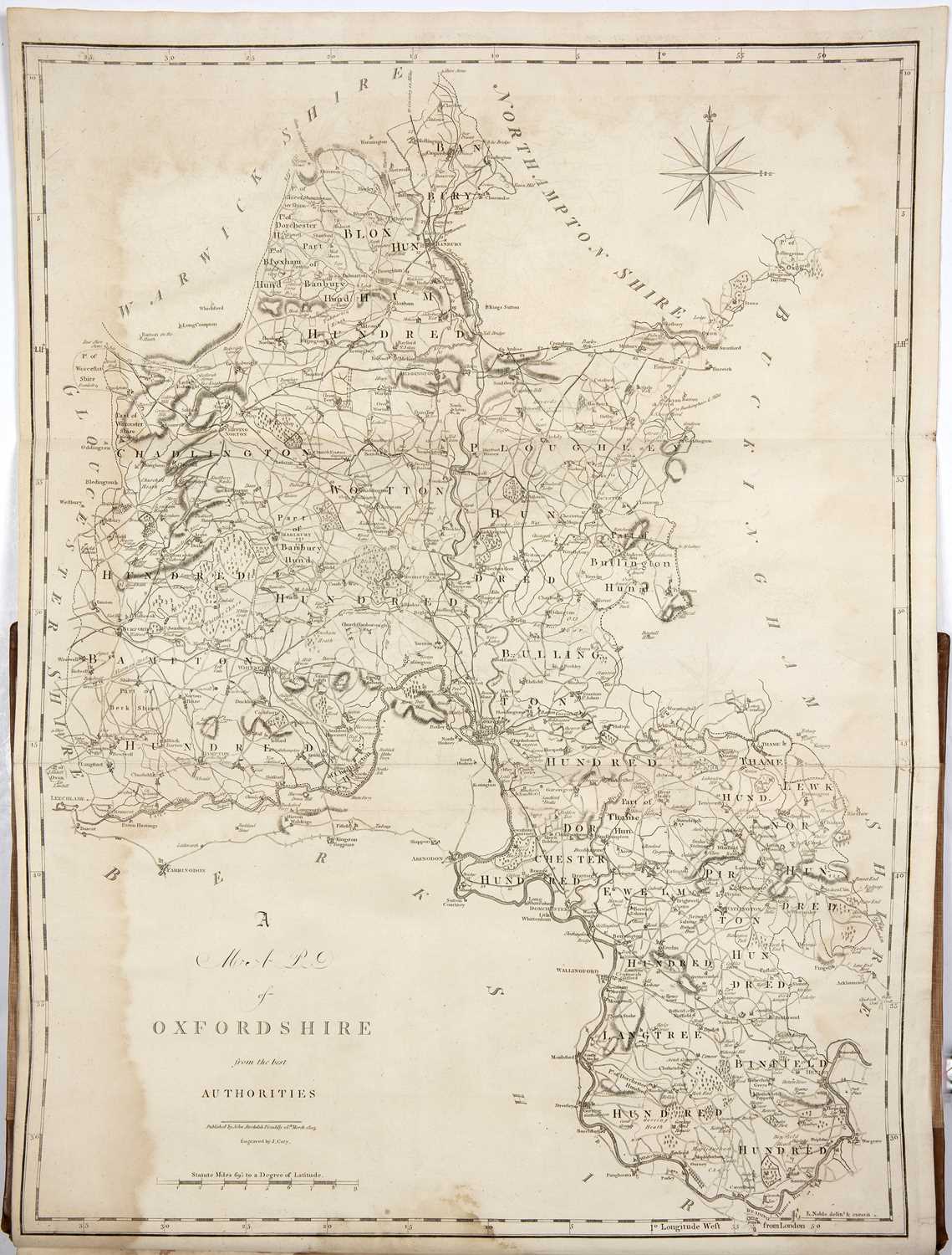
Camden (William). Britannia: or a Chorographical Description of Great Britain and Ireland, together with the Adjacent islands..., revised by Edmund Gibson, 2 volumes, 2nd edition, circa 1730, engraved portrait frontispiece, title printed in red & black, 10 plates of coins and antiquities, 10 (only) uncoloured engraved double-page maps (Bedfordshire, Huntingdonshire, Northamptonshire, Shropshire, Staffordshire, Nottinghamshire, Rutland, Leicestershire, Hereford and Monmouth), slight spotting throughout, bookplates of J. B. Boulton & Peter Delme, contemporary mottled calf, upper board on volume 1 detached and on volume 2 near detached, rubbed and worn, folio, together with Johnston (Alexander Keith). Handy Royal Atlas of Modern Geography, 1881, numerous double-page colour lithographic maps, slight spotting, contemporary half morocco gilt, rubbed and worn, folio, with Dugdale (Thomas). England and Wales Delineated..., volumes 2, 3 & 4 (only), circa 1840, decorative titles, 21 uncoloured engraved portraits, 157 engraved topographical views and 45 uncoloured engraved county maps by J. Archer occasional offsetting, contemporary half morocco gilt, slight wear to extremities, 8vo, plus Lewis (Samuel). A Topographical Dictionary of England..., 4 volumes, together with the Atlas volume, 1831, the atlas volume comprising of an uncoloured engraved folding map of England and Wales and 42 uncoloured engraved maps by Thomas Starling (including 13 folding), lacking the plan of London, contemporary half morocco gilt, worn at extremities, 4to, with 11 other atlases similar, including examples by Bacon, Letts, Vertue & Co and part of a later Camden atlas containing the map and description of Lincolnshire, including a folding engraved map by John Cary (Qty: 22) Sold as a collection of maps and plates, not subject to return.
Camden (William). Britannia: or a Chorographical Description of Great Britain and Ireland, together with the Adjacent islands..., revised by Edmund Gibson, 2 volumes, 2nd edition, circa 1730, engraved portrait frontispiece, title printed in red & black, 10 plates of coins and antiquities, 10 (only) uncoloured engraved double-page maps (Bedfordshire, Huntingdonshire, Northamptonshire, Shropshire, Staffordshire, Nottinghamshire, Rutland, Leicestershire, Hereford and Monmouth), slight spotting throughout, bookplates of J. B. Boulton & Peter Delme, contemporary mottled calf, upper board on volume 1 detached and on volume 2 near detached, rubbed and worn, folio, together with Johnston (Alexander Keith). Handy Royal Atlas of Modern Geography, 1881, numerous double-page colour lithographic maps, slight spotting, contemporary half morocco gilt, rubbed and worn, folio, with Dugdale (Thomas). England and Wales Delineated..., volumes 2, 3 & 4 (only), circa 1840, decorative titles, 21 uncoloured engraved portraits, 157 engraved topographical views and 45 uncoloured engraved county maps by J. Archer occasional offsetting, contemporary half morocco gilt, slight wear to extremities, 8vo, plus Lewis (Samuel). A Topographical Dictionary of England..., 4 volumes, together with the Atlas volume, 1831, the atlas volume comprising of an uncoloured engraved folding map of England and Wales and 42 uncoloured engraved maps by Thomas Starling (including 13 folding), lacking the plan of London, contemporary half morocco gilt, worn at extremities, 4to, with 11 other atlases similar, including examples by Bacon, Letts, Vertue & Co and part of a later Camden atlas containing the map and description of Lincolnshire, including a folding engraved map by John Cary (Qty: 22) Sold as a collection of maps and plates, not subject to return.


Testen Sie LotSearch und seine Premium-Features 7 Tage - ohne Kosten!
Lassen Sie sich automatisch über neue Objekte in kommenden Auktionen benachrichtigen.
Suchauftrag anlegen