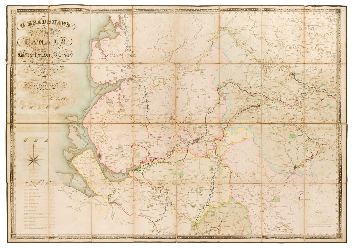
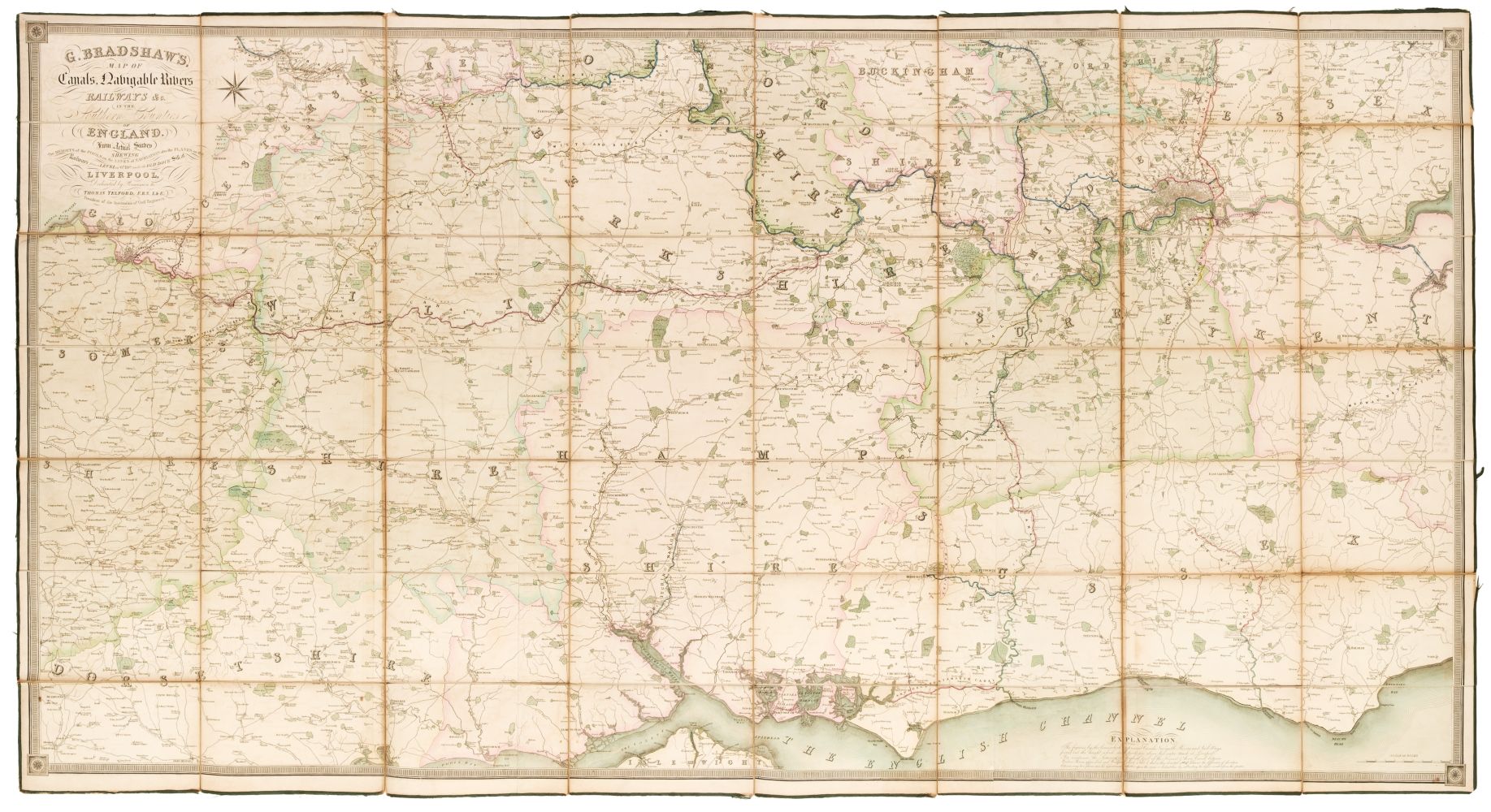
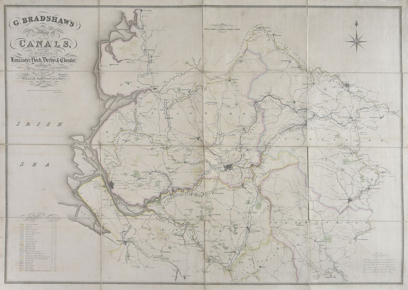
Canal Map. Bradshaw (G.), Map of Canals, Navigable Rivers, Railroads etc. of the Midland Counties of England from Actual Survey, shewing the heights of the Ponds on the Lines of Navigation from a Level 6ft. 10in. under the Old Dock Sill at Liverpool, from levels taken by Twyford & Wilson, Surveyors and Engineers, published G. Bradshaw, Manchester and sold by Mr Jas. Gardner, London, Feby. 12th. 1830, large engraved map with contemporary outline colouring, sectionalised and laid on linen, calligraphic title, table of explanation and compass rose, slight offsetting, edged in green silk, 1320 x 1240 mm
Canal Map. Bradshaw (G.), Map of Canals, Navigable Rivers, Railroads etc. of the Midland Counties of England from Actual Survey, shewing the heights of the Ponds on the Lines of Navigation from a Level 6ft. 10in. under the Old Dock Sill at Liverpool, from levels taken by Twyford & Wilson, Surveyors and Engineers, published G. Bradshaw, Manchester and sold by Mr Jas. Gardner, London, Feby. 12th. 1830, large engraved map with contemporary outline colouring, sectionalised and laid on linen, calligraphic title, table of explanation and compass rose, slight offsetting, edged in green silk, 1320 x 1240 mm





Testen Sie LotSearch und seine Premium-Features 7 Tage - ohne Kosten!
Lassen Sie sich automatisch über neue Objekte in kommenden Auktionen benachrichtigen.
Suchauftrag anlegen