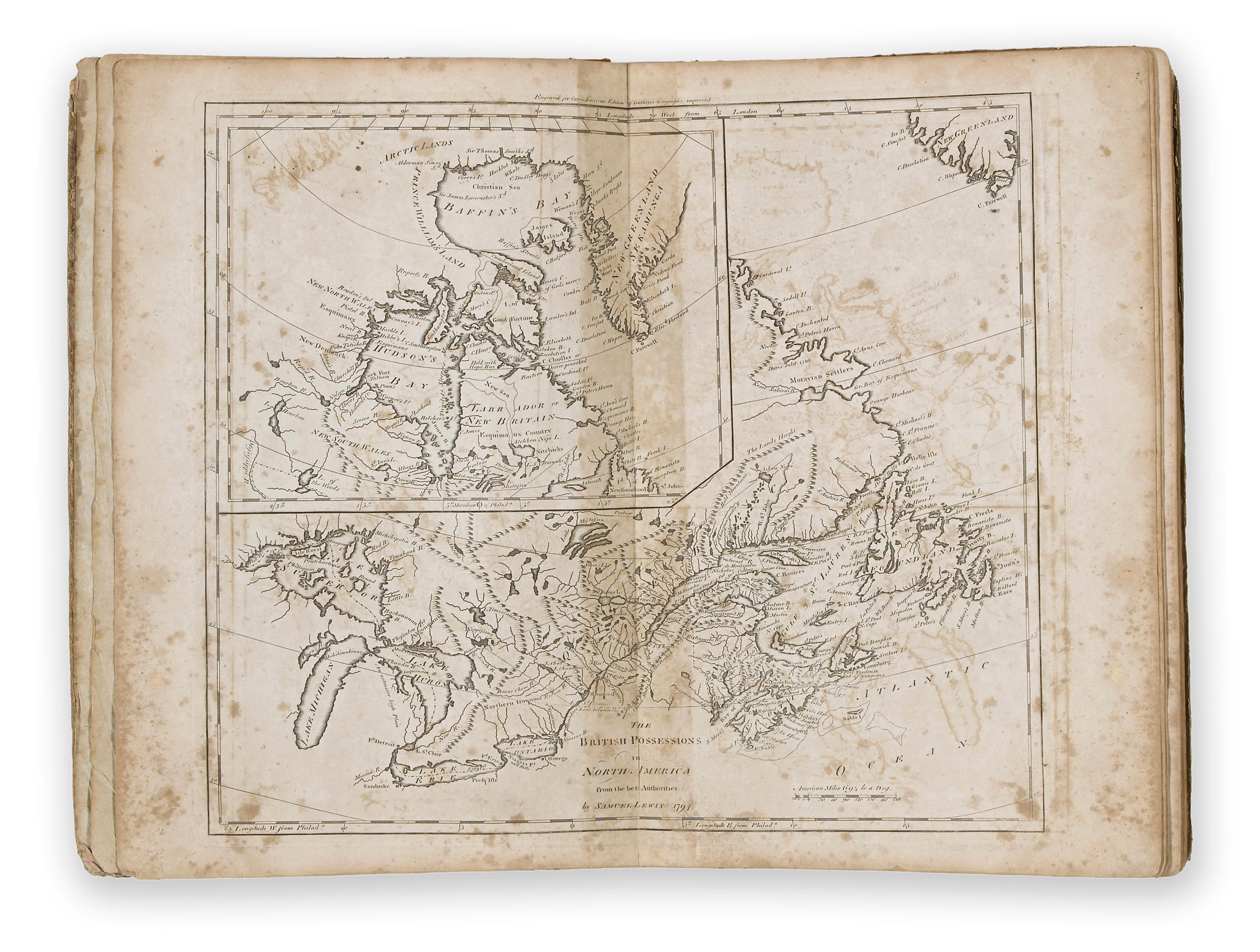
Carey's American Pocket Atlas.
Philadelphia: Printed for Mathew Carey by Lang and Ustick, 1796. 12mo (166 x 103 mm). 19 engraved folding maps (frontispiece map of the United States hand-colored in outline). Expertly bound to style in calf-backed marbled paper boards. Condition : minor restoration to the frontispiece map. Provenance : James Kent (signature on title dated 1797); illegible library stamp on title. very rare copy of the first edition of the first american pocket atlas and among the best early guides to the infant united states. Includes a general map of the United States (depicting to the Missouri River and with the vast region west of the Mississippi identified as Louisiana) and maps of Vermont, New Hampshire, Maine, Massachusetts, Rhode Island, Connecticut, New York, New Jersey, Pennsylvania, Delaware, the Northwest Territory, Maryland, Virginia, Kentuckey [sic], North Carolina, Tennessee, South Carolina and Georgia. The maps were engraved by W. Barker, J. H. Seymour and A. Doolittle. Each map is accompanied by text, presumably written by Carey, which reviews the geography, laws, climate, navigation, commerce and native tribes of each region. This copy belonging to famed jurist James Kent (1763-1847). Only two complete copies of the first edition have appeared at auction in the last quarter century, the most recent at the 2000 sale of the library of Laird U. Park ($9600). NUC cites but two copies. Evans 30161; Howes C137; Phillips, Atlases 1364; Sabin 10856; Wheat & Brun 131.


.jpg)


.jpg)


Testen Sie LotSearch und seine Premium-Features 7 Tage - ohne Kosten!
Lassen Sie sich automatisch über neue Objekte in kommenden Auktionen benachrichtigen.
Suchauftrag anlegen