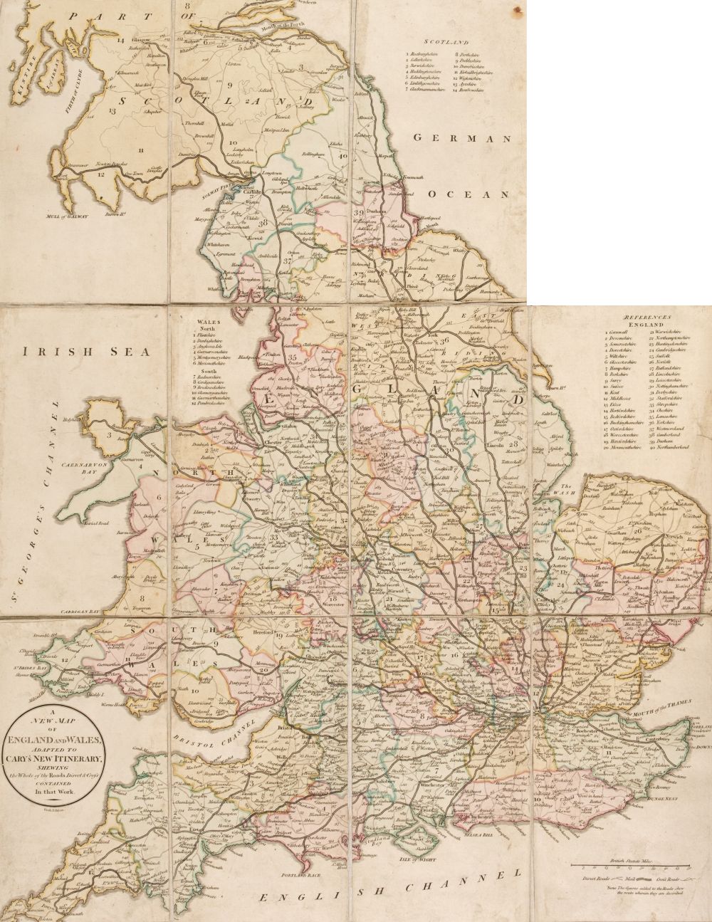
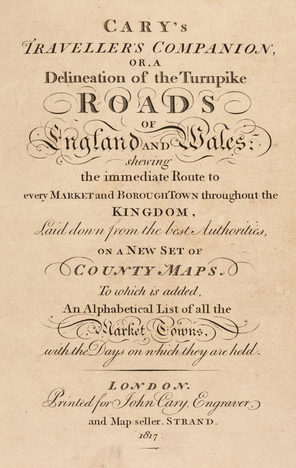
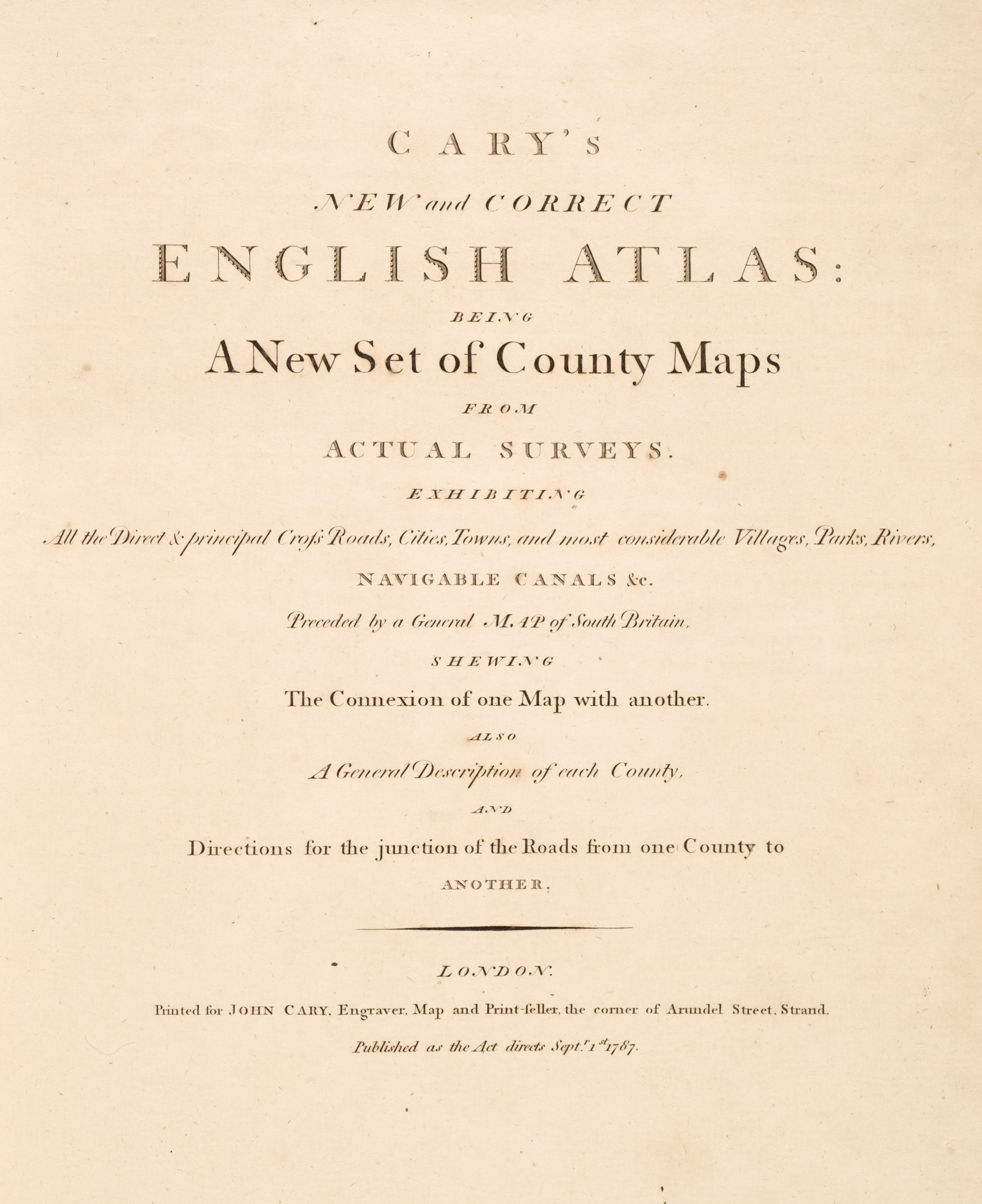
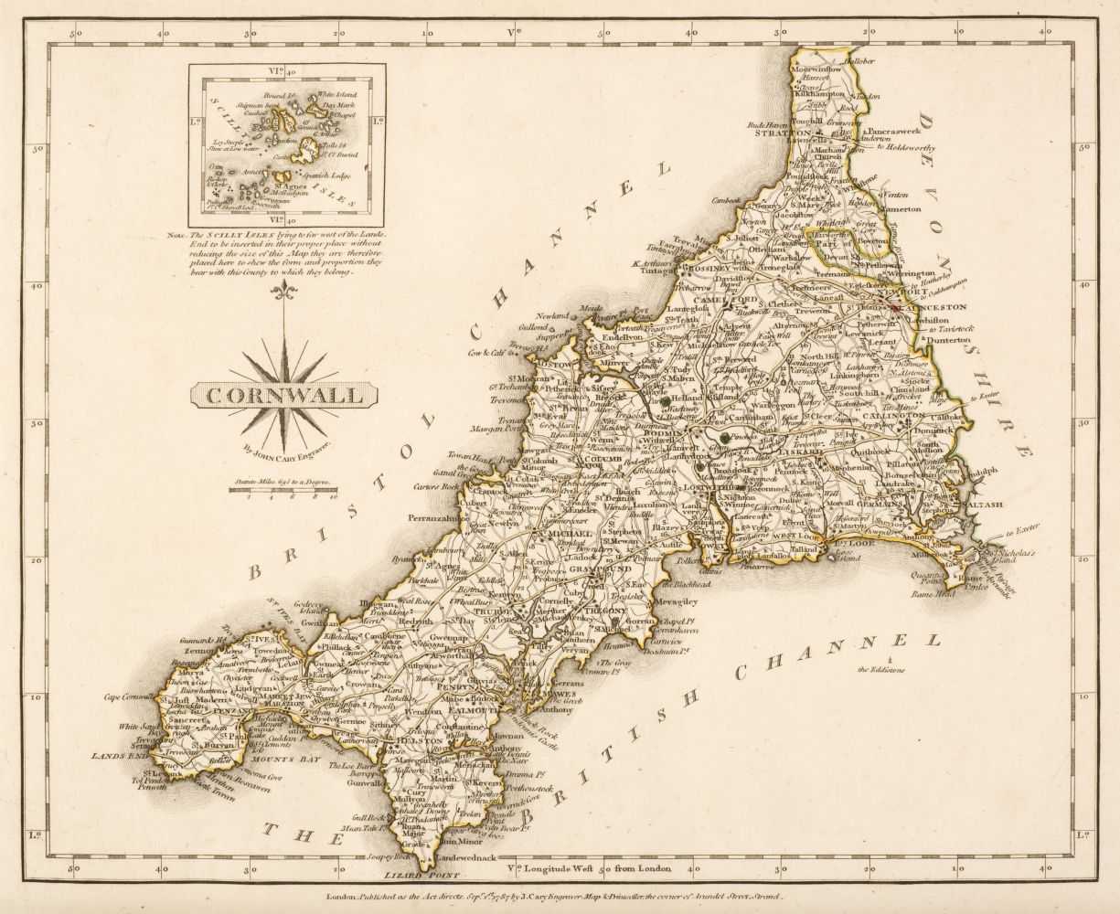
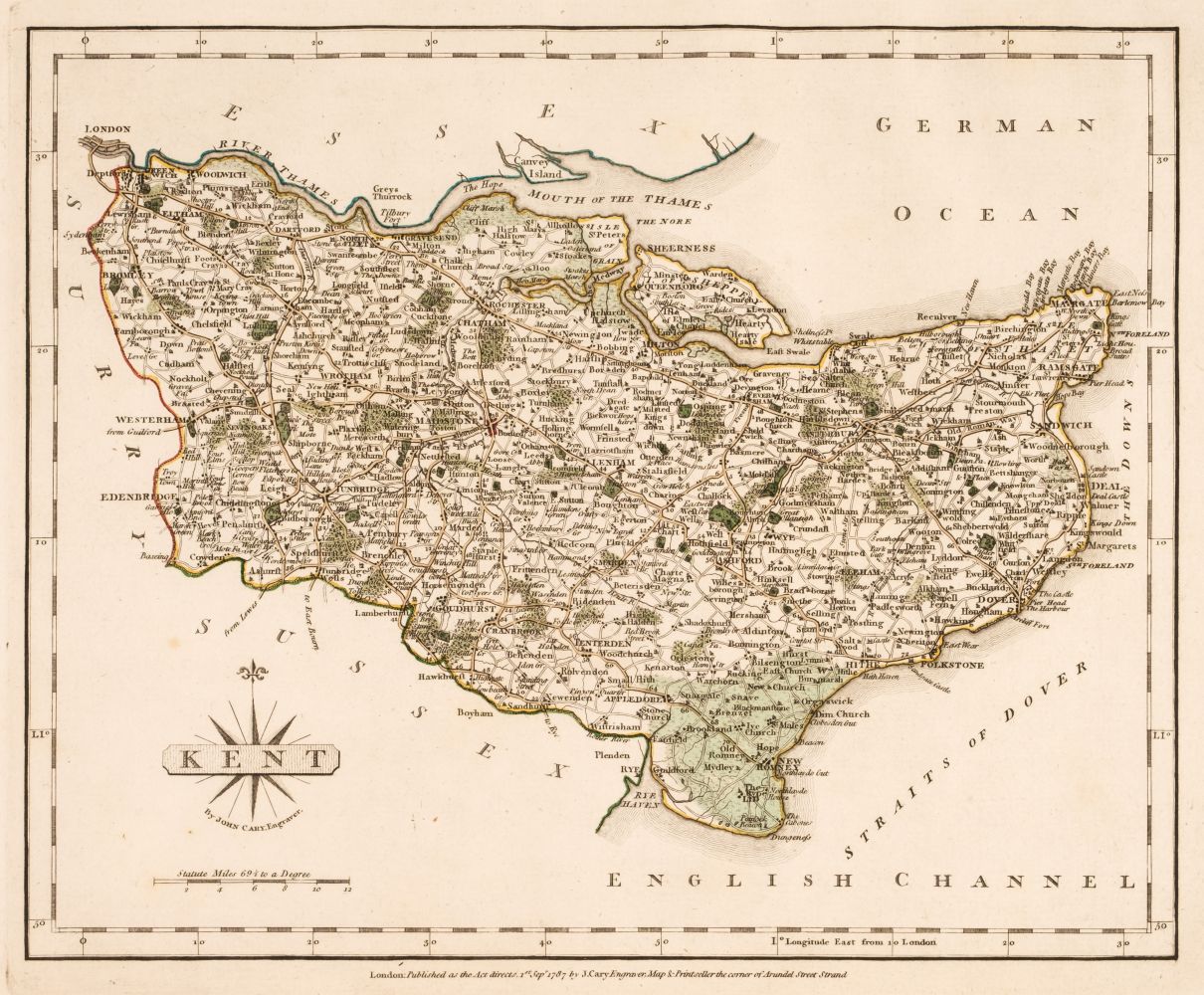
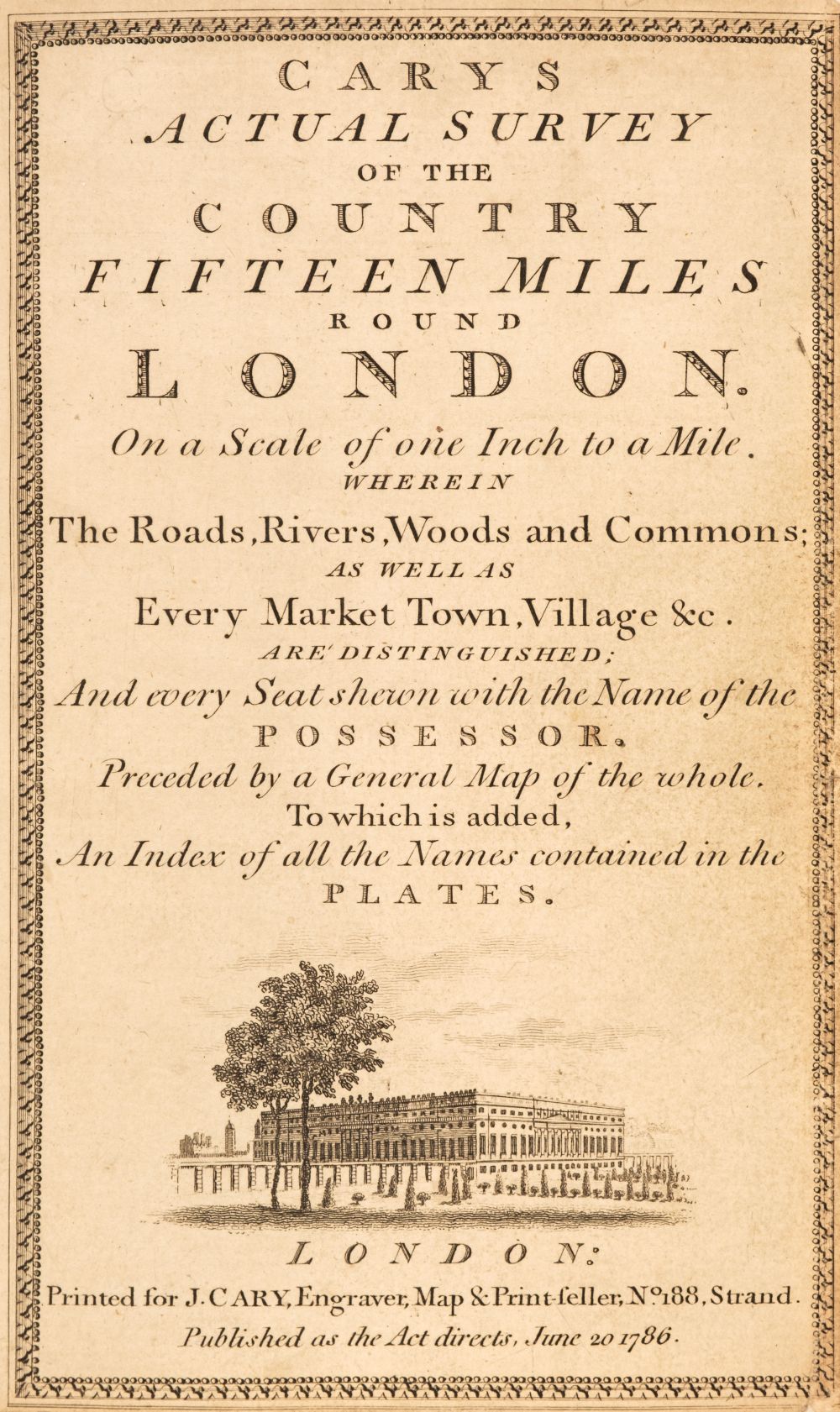
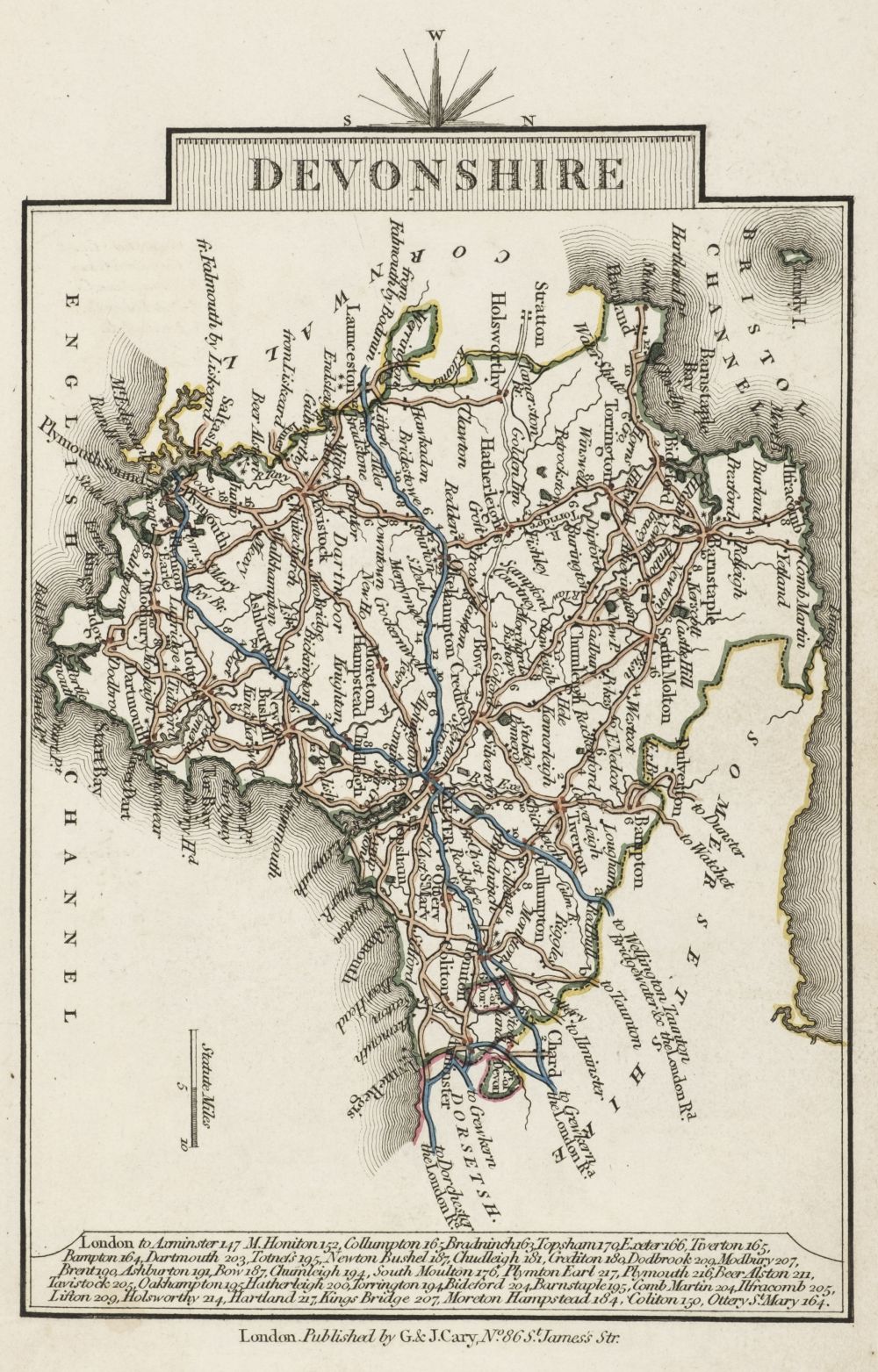
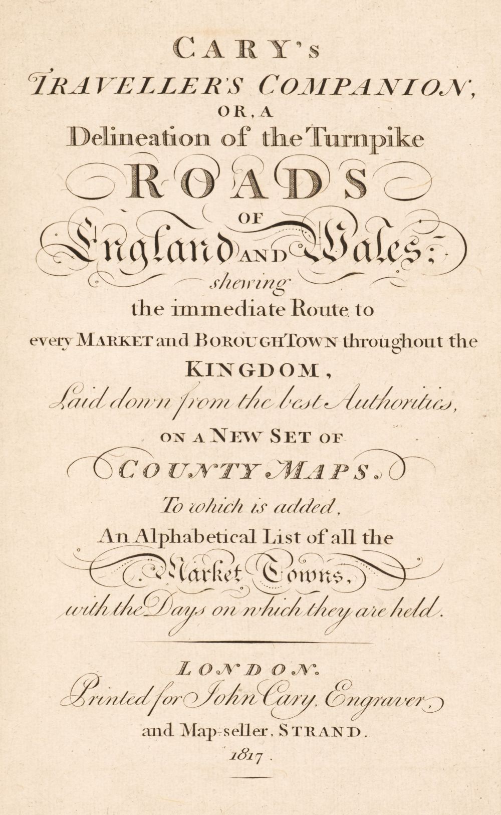
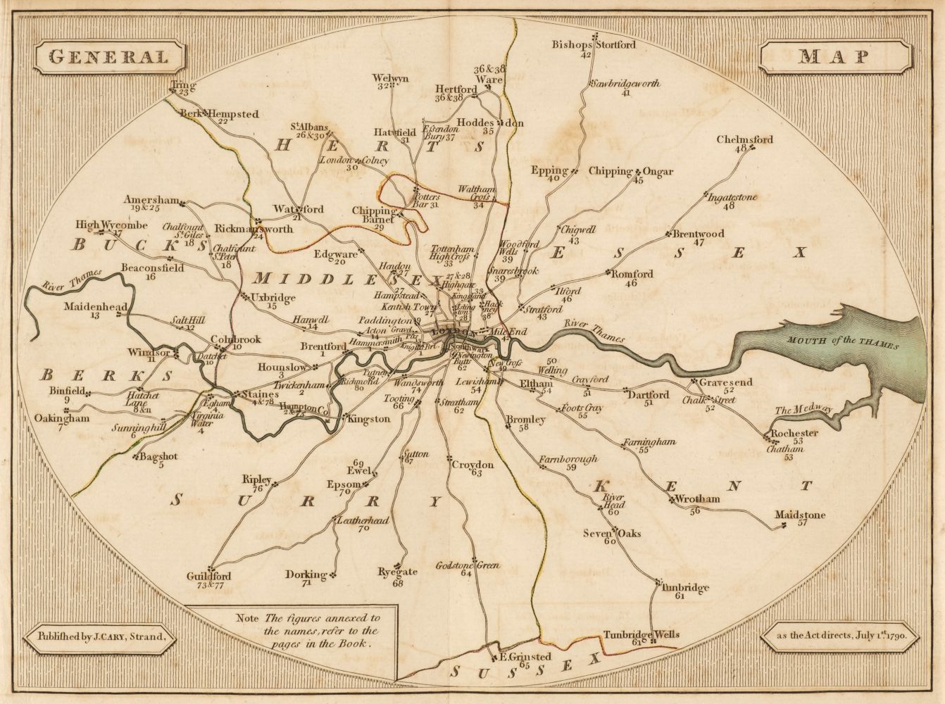
Cary, John (c. 1754-1835) Cary's New Map of England and Wales with Part of Scotland. London: Publish'd June 11th 1794 by J. Cary, Engraver & Map-seller, No. 181 Strand. First edition, large quarto, engraved title and dedication, the hand-colored gridded General Map, and seventy-six hand-colored full page panel maps for each grid section, numbered 1-81, excluding numbers 62, 63, 71, 72, and 80, all of which contain only open ocean [seventy-seven maps in total], 85 pages of index, and three pages of subscribers; bound in contemporary speckled boards, edges and spine gilt, front board re-hinged, back board detached, some offsetting, 11 3/4 x 9 1/2 in.
Cary, John (c. 1754-1835) Cary's New Map of England and Wales with Part of Scotland. London: Publish'd June 11th 1794 by J. Cary, Engraver & Map-seller, No. 181 Strand. First edition, large quarto, engraved title and dedication, the hand-colored gridded General Map, and seventy-six hand-colored full page panel maps for each grid section, numbered 1-81, excluding numbers 62, 63, 71, 72, and 80, all of which contain only open ocean [seventy-seven maps in total], 85 pages of index, and three pages of subscribers; bound in contemporary speckled boards, edges and spine gilt, front board re-hinged, back board detached, some offsetting, 11 3/4 x 9 1/2 in.




Testen Sie LotSearch und seine Premium-Features 7 Tage - ohne Kosten!
Lassen Sie sich automatisch über neue Objekte in kommenden Auktionen benachrichtigen.
Suchauftrag anlegen