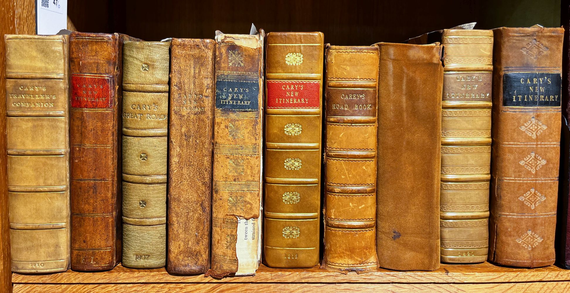
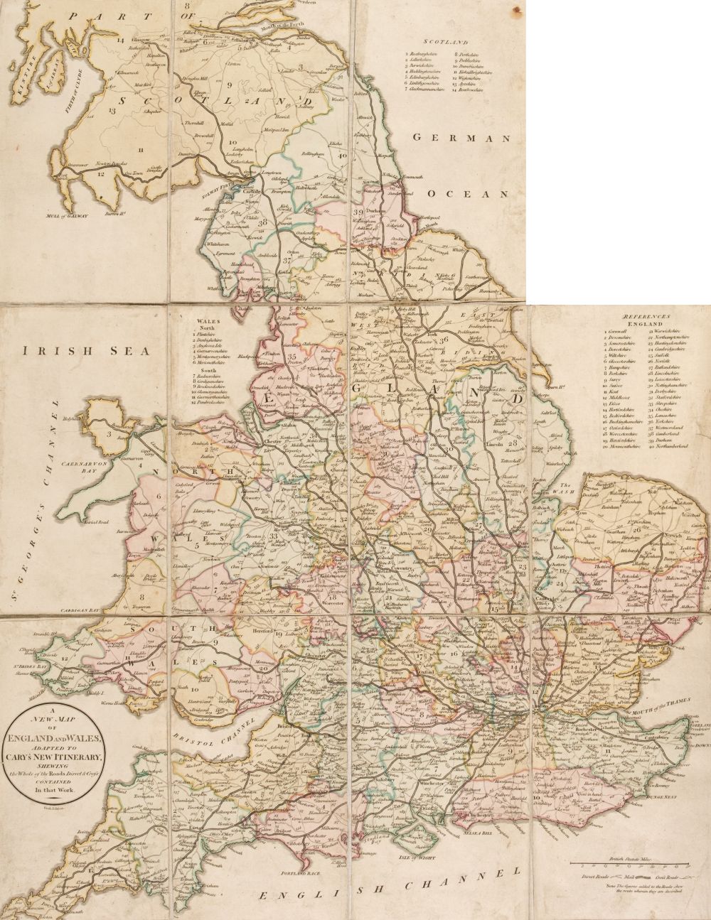
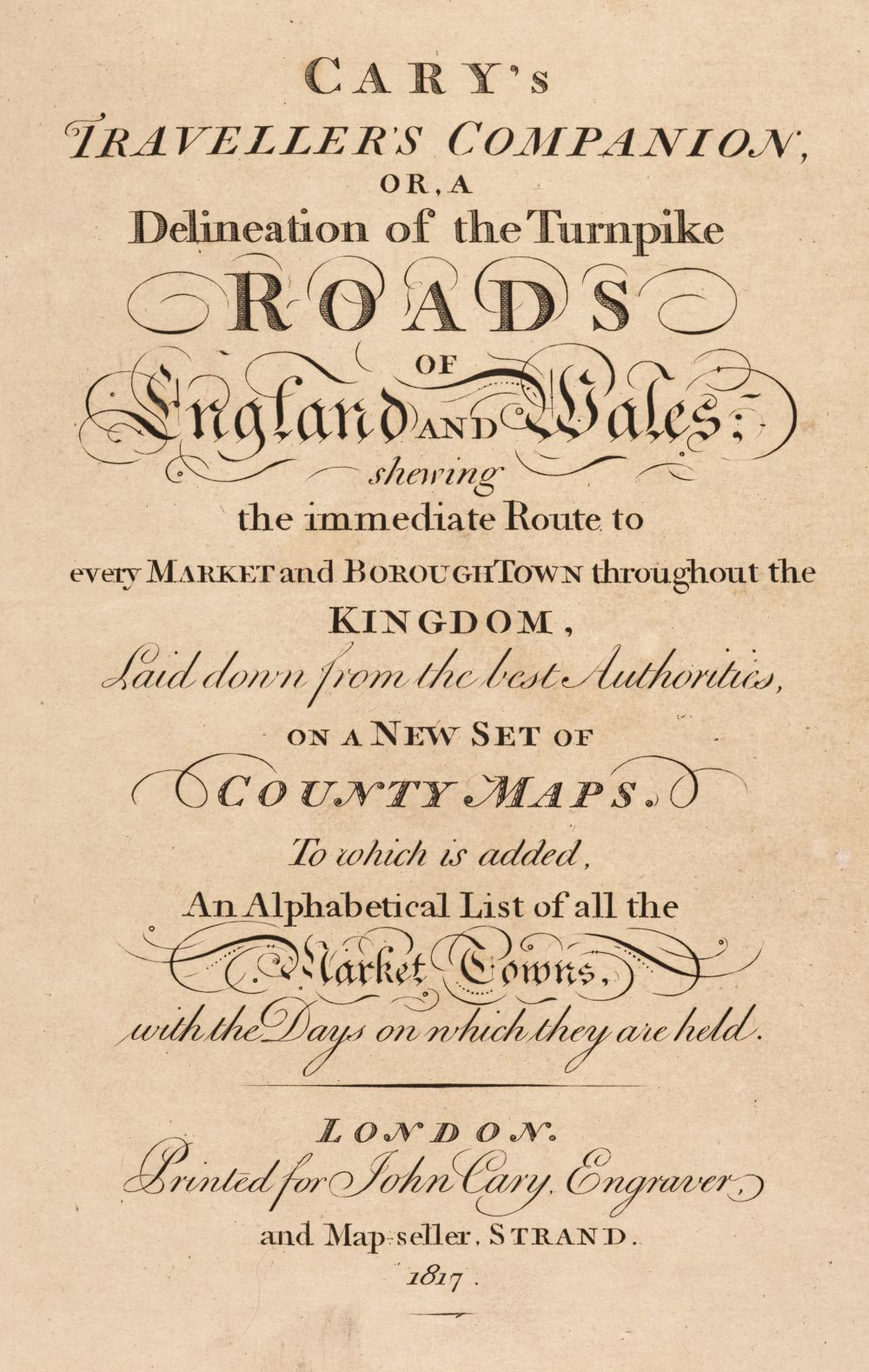
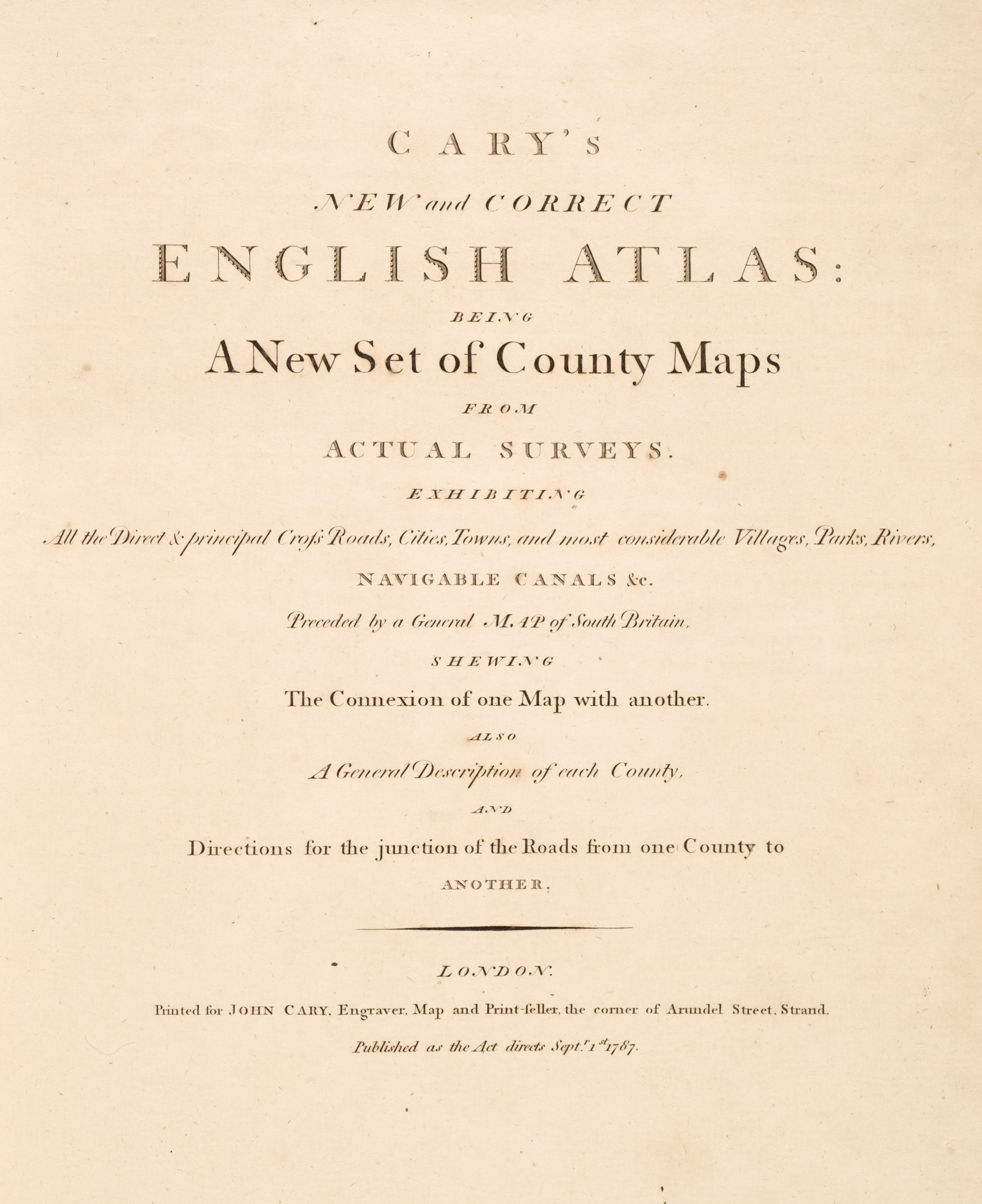
Cary, John. SURVEY OF THE HIGH ROADS FROM LONDON. LONDON, 1790, 4TO (214 X 150MM.), ENGRAVED TITLE, EXPLANATION, GENERAL MAP AND PLAN AND 80 STRIP MAPS ON 40 SHEETS, HAND-COLOURED, CONTEMPORARY HALF CALF, SOME LIGHT OFFSETTING Ibid. Cary's Traveller's Companion, or a Delineation of the Turnpike Roads of England and Wales. London, 1814, 8vo (180 x 110mm.), 43 general and regional maps (map of Yorkshire folding), maps hand-coloured in outline, 4pp. advertisements at end, contemporary calf, rebacked Ibid. Cary's Traveller's Companion. London, 1828, 8vo (185 x 110mm.), 43 general and regional maps (map of Yorkshire folding), maps hand-coloured in outline, label 'Sold by J. Wyld' over imprint and label on inside cover, ownership inscription on title, contemporary half calf Ibid. New Itinerary... Ninth edition. London: G. & J. Cary, 1821, 6 folding engraved maps, hand-coloured, recent parchment-backed cloth Ibid. tenth edition, 1826, contemporary calf, bookplate of Edward Lynam, engraved folding engraved map, folding map repaired, binding repaired Ibid. New Map of England and Wales, with part of Scotland. London, 1794, 4to (305 x 230mm.), engraved title, dedication, general map and 77 mapsheets (numbered to 81), hand-coloured in outline, recent calf-backed boards together 6 items
Cary, John. SURVEY OF THE HIGH ROADS FROM LONDON. LONDON, 1790, 4TO (214 X 150MM.), ENGRAVED TITLE, EXPLANATION, GENERAL MAP AND PLAN AND 80 STRIP MAPS ON 40 SHEETS, HAND-COLOURED, CONTEMPORARY HALF CALF, SOME LIGHT OFFSETTING Ibid. Cary's Traveller's Companion, or a Delineation of the Turnpike Roads of England and Wales. London, 1814, 8vo (180 x 110mm.), 43 general and regional maps (map of Yorkshire folding), maps hand-coloured in outline, 4pp. advertisements at end, contemporary calf, rebacked Ibid. Cary's Traveller's Companion. London, 1828, 8vo (185 x 110mm.), 43 general and regional maps (map of Yorkshire folding), maps hand-coloured in outline, label 'Sold by J. Wyld' over imprint and label on inside cover, ownership inscription on title, contemporary half calf Ibid. New Itinerary... Ninth edition. London: G. & J. Cary, 1821, 6 folding engraved maps, hand-coloured, recent parchment-backed cloth Ibid. tenth edition, 1826, contemporary calf, bookplate of Edward Lynam, engraved folding engraved map, folding map repaired, binding repaired Ibid. New Map of England and Wales, with part of Scotland. London, 1794, 4to (305 x 230mm.), engraved title, dedication, general map and 77 mapsheets (numbered to 81), hand-coloured in outline, recent calf-backed boards together 6 items





Testen Sie LotSearch und seine Premium-Features 7 Tage - ohne Kosten!
Lassen Sie sich automatisch über neue Objekte in kommenden Auktionen benachrichtigen.
Suchauftrag anlegen