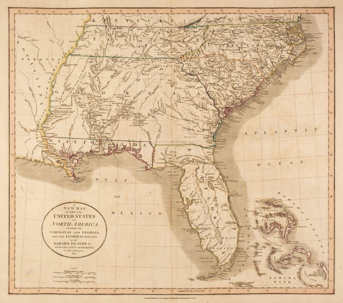
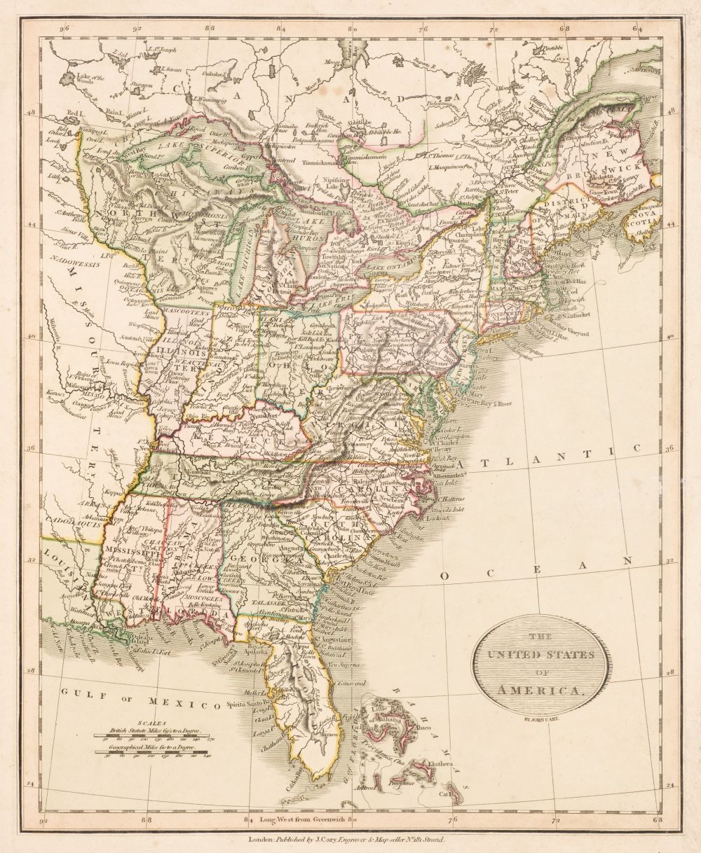
Title: Cary's New Universal Atlas, Containing Distinct Maps of All the Principal States and Kingdoms Throughout the World from the Latest and Best Authorities Extant Author: Cary, John Place: London Publisher: J. Cary Date: 1808 Description: With 59 (of 60) hand-colored double-page copper-engraved maps. 21¼x14, original quarter morocco & marbled boards. Influential and popular atlas, presenting the world at the beginning of the 19th century in a series of finely-engraved maps with bright original coloring. Present are two maps of the world (double-hemisphere and Mercator's Projection), the various continents, nations of Europe, regions of Asia, etc.; there are eleven maps relating to the Americas, including North and South America; North America; Nova Scotia and Newfoundland; Canada; United States of America; New Hampshire, etc.; Western Territory, &c.; Floridas, &c.; West Indies; and two maps of South America (northern and southern sectors). North America ("A New Map of North America, from the Latest Authorities," dated 1806, Wheat Transmississippi 268 & 273), shows a fairly good representation of the west coast, but beyond the coast range to the Stony Mountains is a blank ("Oregon Territory" has been lightly penciled in the norther part of that sector). Phillips Atlases 714. Lot Amendments Condition: Normal scuffing and wear to covers; maps of the world lightly dampstained, maps of Great Britain and some others ill-creased with some light soiling; a few maps with wear along the creases; lacking the map of Africa; overall in very good condition, many of the maps better. Item number: 154934
Title: Cary's New Universal Atlas, Containing Distinct Maps of All the Principal States and Kingdoms Throughout the World from the Latest and Best Authorities Extant Author: Cary, John Place: London Publisher: J. Cary Date: 1808 Description: With 59 (of 60) hand-colored double-page copper-engraved maps. 21¼x14, original quarter morocco & marbled boards. Influential and popular atlas, presenting the world at the beginning of the 19th century in a series of finely-engraved maps with bright original coloring. Present are two maps of the world (double-hemisphere and Mercator's Projection), the various continents, nations of Europe, regions of Asia, etc.; there are eleven maps relating to the Americas, including North and South America; North America; Nova Scotia and Newfoundland; Canada; United States of America; New Hampshire, etc.; Western Territory, &c.; Floridas, &c.; West Indies; and two maps of South America (northern and southern sectors). North America ("A New Map of North America, from the Latest Authorities," dated 1806, Wheat Transmississippi 268 & 273), shows a fairly good representation of the west coast, but beyond the coast range to the Stony Mountains is a blank ("Oregon Territory" has been lightly penciled in the norther part of that sector). Phillips Atlases 714. Lot Amendments Condition: Normal scuffing and wear to covers; maps of the world lightly dampstained, maps of Great Britain and some others ill-creased with some light soiling; a few maps with wear along the creases; lacking the map of Africa; overall in very good condition, many of the maps better. Item number: 154934


Testen Sie LotSearch und seine Premium-Features 7 Tage - ohne Kosten!
Lassen Sie sich automatisch über neue Objekte in kommenden Auktionen benachrichtigen.
Suchauftrag anlegen