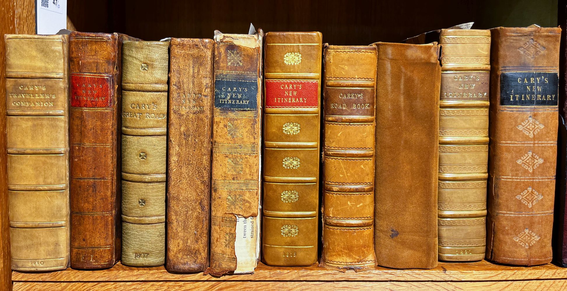
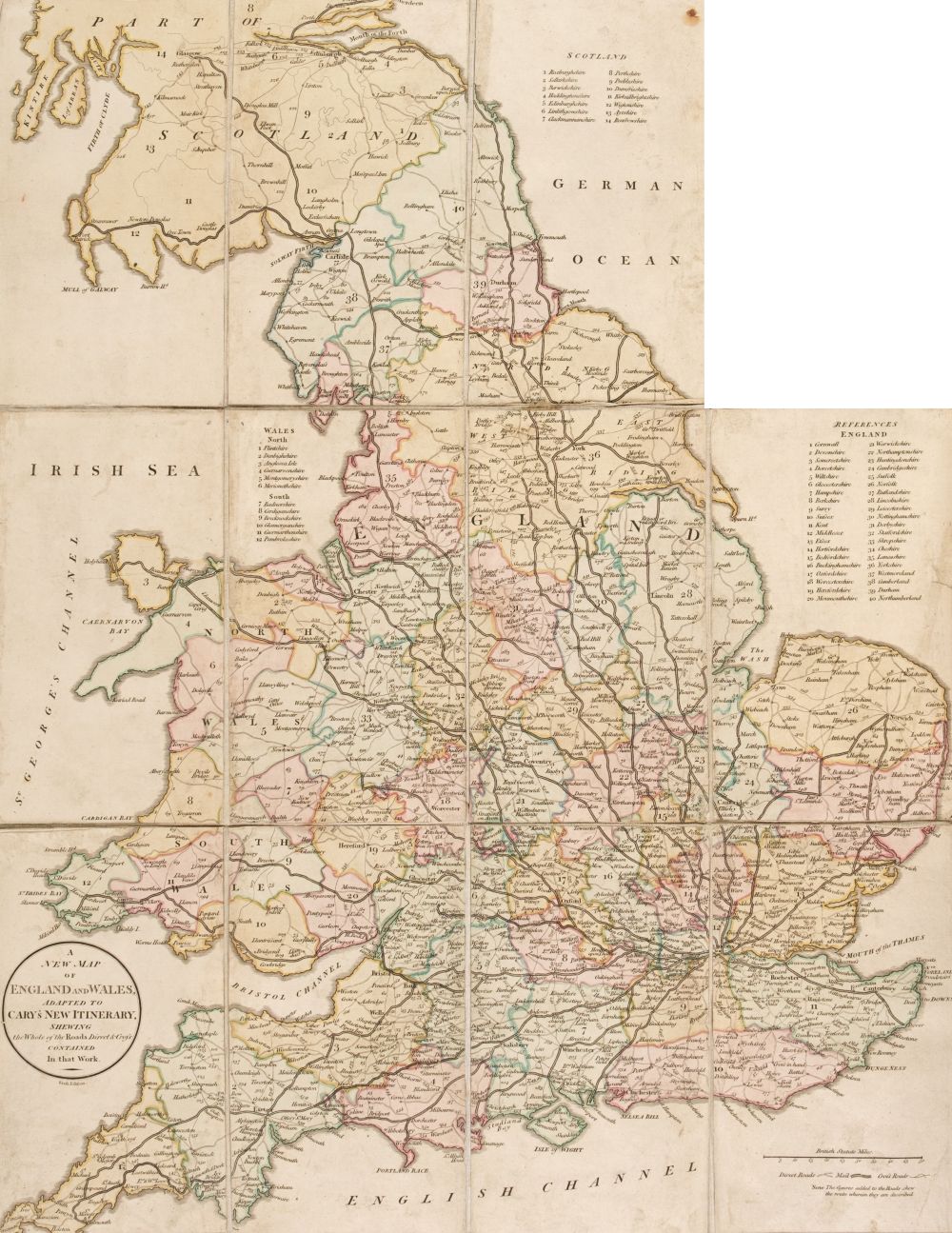
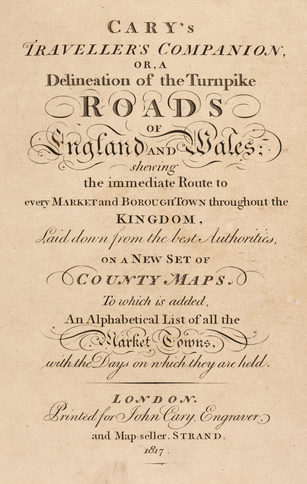
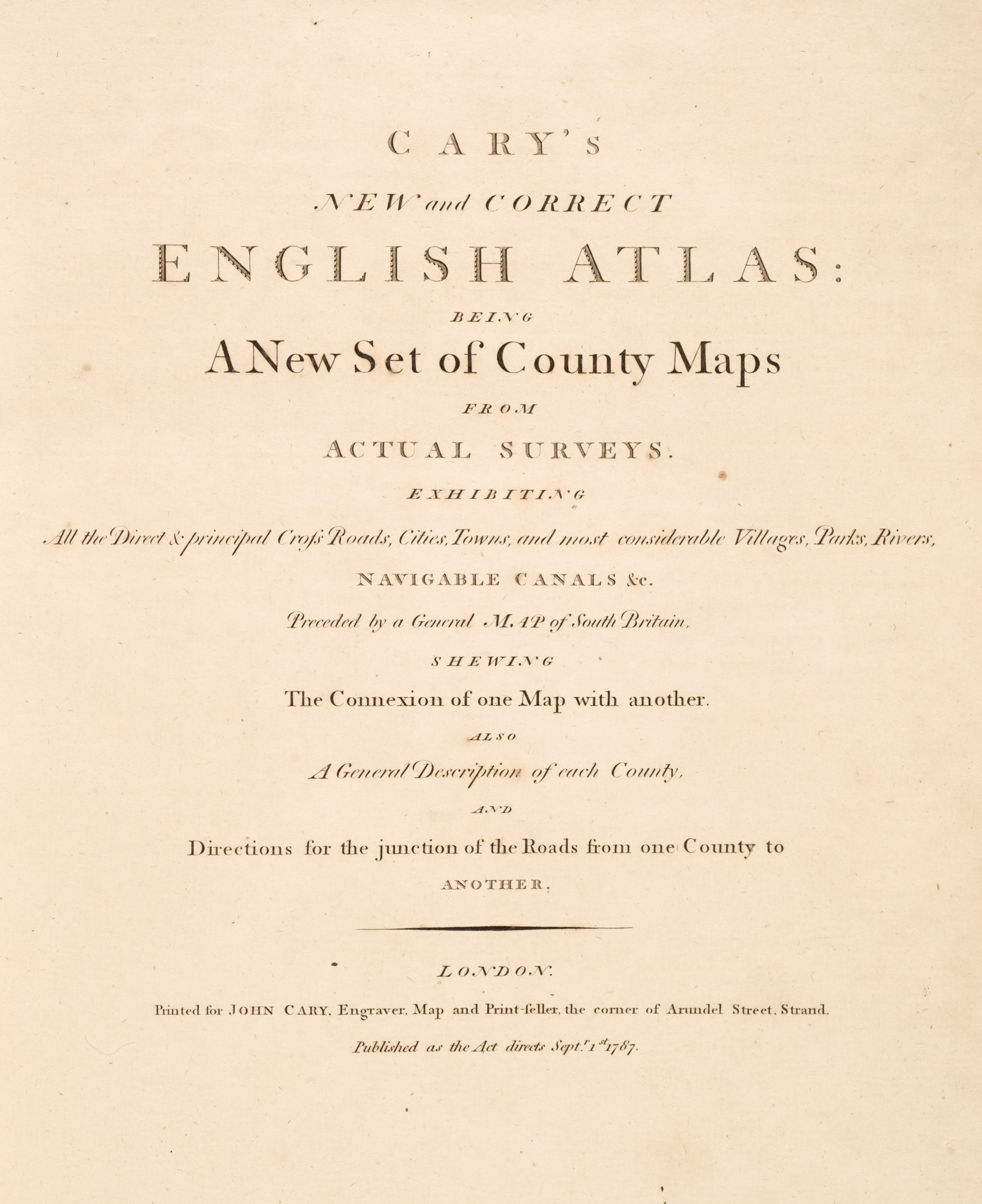
Cary's Traveller's Companion or a Delineation of the Turnpike Roads of England and Wales; shewing the immediate route to every market and borough town throughout the kingdom...., 1814, engraved title page, advertisement and contents list, forty-three (complete as list) engraved maps with contemporary outline colouring, map of Yorkshire folding and sectionalised and laid on linen, bound with Cary's new Itinerary or an accurate delineation of the great roads both direct and cross throughout England and Wales..., 1815, folding engraved map of England & Wales with contemporary hand colouring, sectionalised and laid on linen, split along old fold, with six folding engraved regional maps with contemporary outline colouring, contemporary manuscript ownership name and address to verso of front endpaper, book plate of John Harris upper hinge cracked, contemporary red morocco 'envelope style' binding, worn and split and crudely repaired with black tape to spine, 8vo, with another copy similar, with the folding maps of Yorkshire and England & Wales contained in a pocket at front of binding, with a folding mileage table for Lancashire, four small city plans printed on card and two 'coaching travelling cards', contemporary brown morocco 'envelope style' binding, 8vo, with another copy of Cary's Itinerary (1806), two copies of Paterson's Roads, 3rd and 18th edition, Grays's New Book of Roads (1824) and Ogilby and Morgan's Book of the Roads, 2nd edition, mostly defective, various sizes and condition Sold as a collection of maps, not subject to return. (7)
Cary's Traveller's Companion or a Delineation of the Turnpike Roads of England and Wales; shewing the immediate route to every market and borough town throughout the kingdom...., 1814, engraved title page, advertisement and contents list, forty-three (complete as list) engraved maps with contemporary outline colouring, map of Yorkshire folding and sectionalised and laid on linen, bound with Cary's new Itinerary or an accurate delineation of the great roads both direct and cross throughout England and Wales..., 1815, folding engraved map of England & Wales with contemporary hand colouring, sectionalised and laid on linen, split along old fold, with six folding engraved regional maps with contemporary outline colouring, contemporary manuscript ownership name and address to verso of front endpaper, book plate of John Harris upper hinge cracked, contemporary red morocco 'envelope style' binding, worn and split and crudely repaired with black tape to spine, 8vo, with another copy similar, with the folding maps of Yorkshire and England & Wales contained in a pocket at front of binding, with a folding mileage table for Lancashire, four small city plans printed on card and two 'coaching travelling cards', contemporary brown morocco 'envelope style' binding, 8vo, with another copy of Cary's Itinerary (1806), two copies of Paterson's Roads, 3rd and 18th edition, Grays's New Book of Roads (1824) and Ogilby and Morgan's Book of the Roads, 2nd edition, mostly defective, various sizes and condition Sold as a collection of maps, not subject to return. (7)


Testen Sie LotSearch und seine Premium-Features 7 Tage - ohne Kosten!
Lassen Sie sich automatisch über neue Objekte in kommenden Auktionen benachrichtigen.
Suchauftrag anlegen