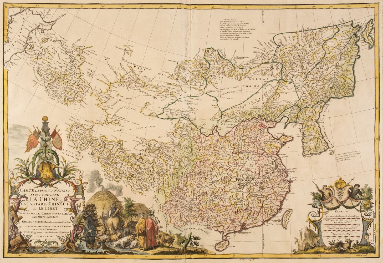
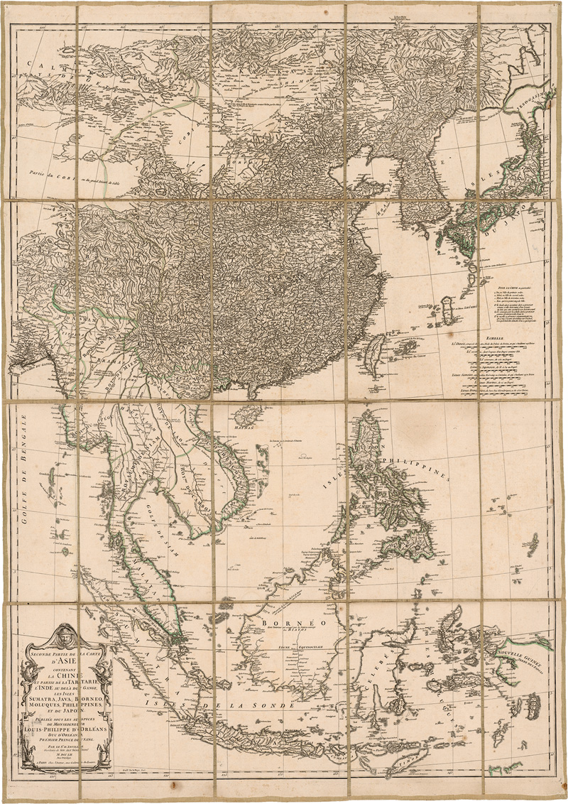
China.- d'Anville (Jean Baptiste Bourguignon) Nouvel Atlas de la Chine, de la Tartarie Chinoise, et du Thibet, title page printed in red and black, 42 engraved maps, some double-page or folding, contemporary outline colour, some worming affecting text rather than maps, many of the maps with damp-stains in the upper right quadrant, mainly in the margins, maps from the latter half with areas of loss in the upper corner quadrants repaired and reinstated with pen and ink, again mainly to margins and extremities, otherwise some browning and surface dirt, contemporary red morocco, gilt, rubbed and worn, large folio measuring approx. 530 x 385 mm., The Hague, Henri Scheurleer, 1737. ⁂ The first scientific mapping of China, deriving from a triangulated survey carried out by French Jesuits, at the behest of the Emperor Kang Hsi. It forms the most important cartographic record of China from the eighteenth century.
China.- d'Anville (Jean Baptiste Bourguignon) Nouvel Atlas de la Chine, de la Tartarie Chinoise, et du Thibet, title page printed in red and black, 42 engraved maps, some double-page or folding, contemporary outline colour, some worming affecting text rather than maps, many of the maps with damp-stains in the upper right quadrant, mainly in the margins, maps from the latter half with areas of loss in the upper corner quadrants repaired and reinstated with pen and ink, again mainly to margins and extremities, otherwise some browning and surface dirt, contemporary red morocco, gilt, rubbed and worn, large folio measuring approx. 530 x 385 mm., The Hague, Henri Scheurleer, 1737. ⁂ The first scientific mapping of China, deriving from a triangulated survey carried out by French Jesuits, at the behest of the Emperor Kang Hsi. It forms the most important cartographic record of China from the eighteenth century.


.jpg?w=400?width=1600&quality=70)


Testen Sie LotSearch und seine Premium-Features 7 Tage - ohne Kosten!
Lassen Sie sich automatisch über neue Objekte in kommenden Auktionen benachrichtigen.
Suchauftrag anlegen