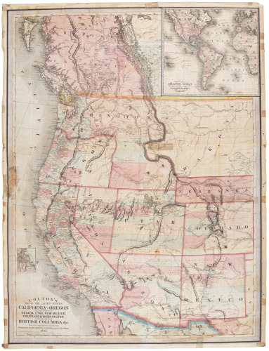
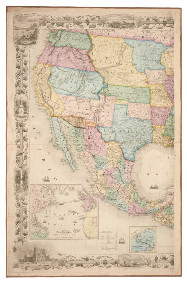
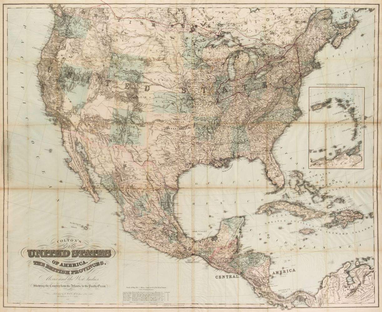
Title: Colton's Map of the United States of America, the British Provinces, Mexico and the West Indies, Showing the Country from the Atlantic to the Pacific Ocean Author: Colton, Joseph Hutchins Place: New York Publisher: Date: 1853 Description: Engraved wall map, hand-colored. 135x150 cm. (53x59"), top roller present. Large wall map of the United States, settled parts of Canada, Mexico, etc., with insets of Central America; Southeastern Part of the West Indies; Newfoundland. The map is covered with small vignettes, including beaver, deer and other wildlife; native Americans; settlers in covered wagons; sailing ships; etc. Wheat remarks that the map, "so far as the West is concerned, is an atavistic though beautifully done performance. Many towns are listed in the Gold Region, and several in Utah..." Wheat, Transmississippi, 776. Lot Amendments Condition: Stains at edges and corners intruding into map, some rubbing and edge wear, lacks bottom roller; overall very good. Item number: 226836
Title: Colton's Map of the United States of America, the British Provinces, Mexico and the West Indies, Showing the Country from the Atlantic to the Pacific Ocean Author: Colton, Joseph Hutchins Place: New York Publisher: Date: 1853 Description: Engraved wall map, hand-colored. 135x150 cm. (53x59"), top roller present. Large wall map of the United States, settled parts of Canada, Mexico, etc., with insets of Central America; Southeastern Part of the West Indies; Newfoundland. The map is covered with small vignettes, including beaver, deer and other wildlife; native Americans; settlers in covered wagons; sailing ships; etc. Wheat remarks that the map, "so far as the West is concerned, is an atavistic though beautifully done performance. Many towns are listed in the Gold Region, and several in Utah..." Wheat, Transmississippi, 776. Lot Amendments Condition: Stains at edges and corners intruding into map, some rubbing and edge wear, lacks bottom roller; overall very good. Item number: 226836


Testen Sie LotSearch und seine Premium-Features 7 Tage - ohne Kosten!
Lassen Sie sich automatisch über neue Objekte in kommenden Auktionen benachrichtigen.
Suchauftrag anlegen