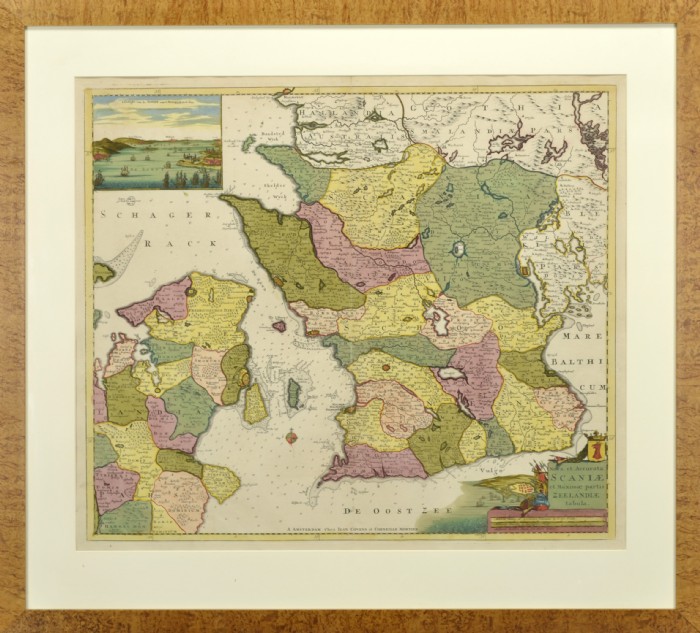
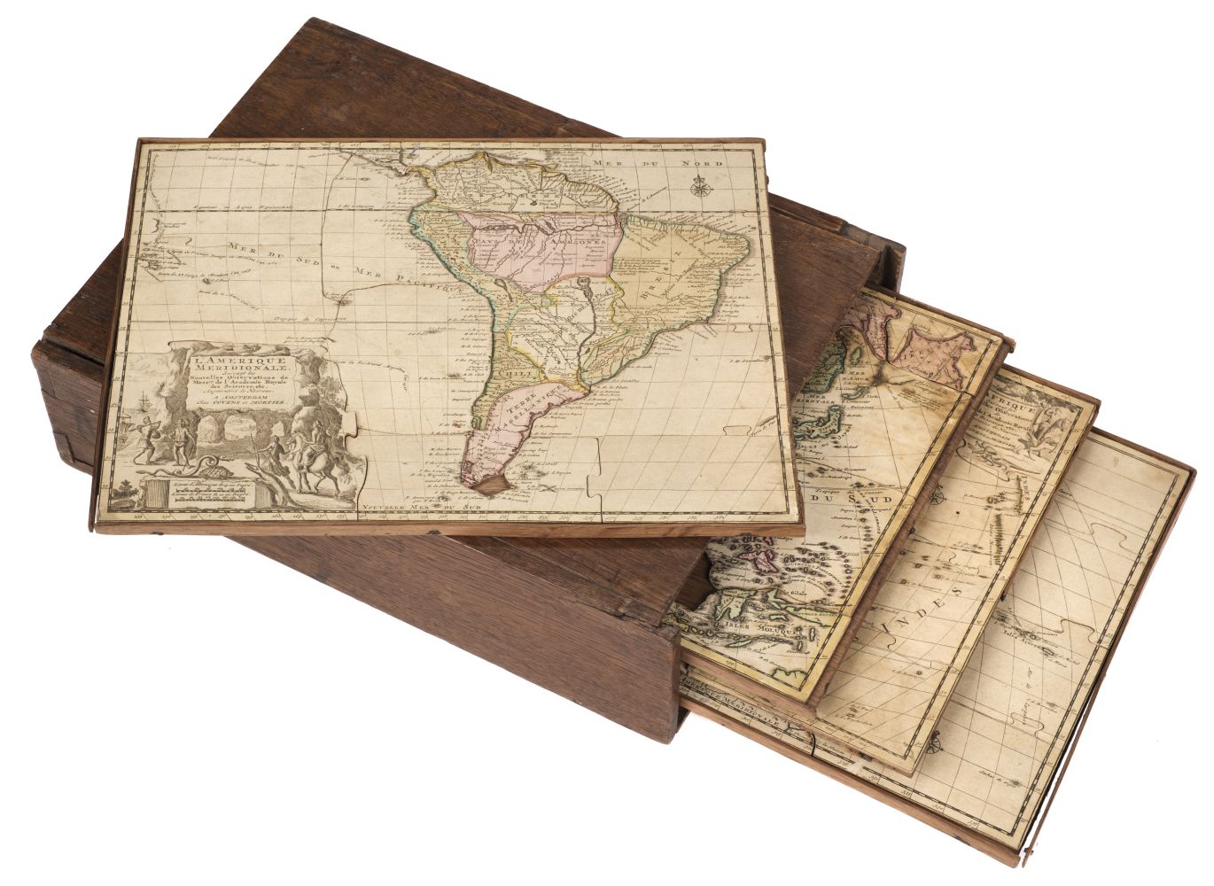
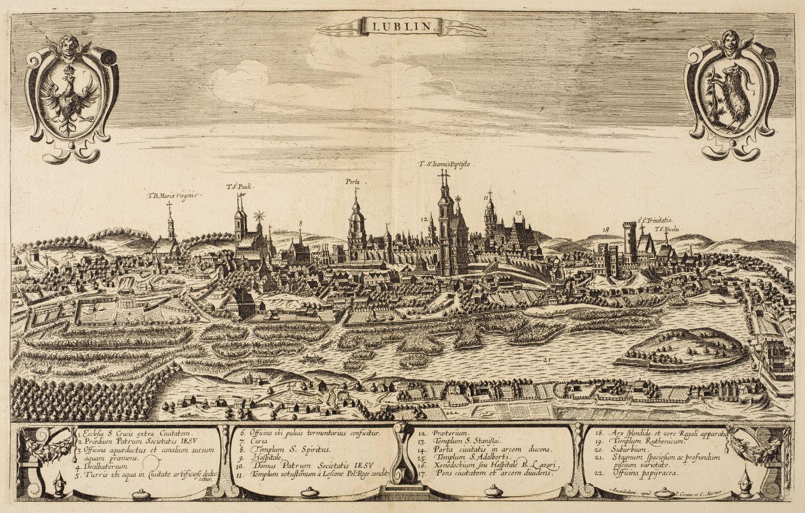
COVENS, Johannes & Cornelius MORTIER (fl.1721-1774). A collection of 16 maps of the Holy Land. [Amsterdam: 1725]. The collection comprises 8 maps of the tribes of Israel, including Carte de la Terre Sainte divisie selon les Douze Tribus d'Israel. Hand-coloured engraved map of the Holy Land, (559 x 658mm). Title set in decorative vignette at upper left showing of Christ healing the sick, scale bar set in cartouche, compass rose (discolouration to edges.) -- Terra promissa in sortes seu tribus XII distincta seu tabula ad librum Iosue. Amsterdam: [1719 or later]. Hand-coloured engraved map of the Holy Land, (558 x 662mm). Title set in cartouche at upper left, compass rose (spotting and discolouration at edges) -- Iudaea seu Terra Sancta, quae Hebraeorum sive Israelitarum in suas duodecim tribus divisa. Amsterdam: [1719 or later]. Hand-coloured engraved map of the Holy Land, (558 x 656mm). Title and scale bar set in decorative cartouches (marginal tear along centrefold, discolouration to edges); together with 8 other maps of the Holy Land by Covens and Mortier. A series of maps of the Holy Land from Covens and Mortier's Atlas antiquus . After the death of the widow of Pieter Mortier in 1719, the firm continued till 1778 as Covens & Mortier. They published numerous atlases and pocket atlases, using maps after De L'Isle and Jaillot. Laor, Maps of the Holy Land , entry 222, 223. (16)
COVENS, Johannes & Cornelius MORTIER (fl.1721-1774). A collection of 16 maps of the Holy Land. [Amsterdam: 1725]. The collection comprises 8 maps of the tribes of Israel, including Carte de la Terre Sainte divisie selon les Douze Tribus d'Israel. Hand-coloured engraved map of the Holy Land, (559 x 658mm). Title set in decorative vignette at upper left showing of Christ healing the sick, scale bar set in cartouche, compass rose (discolouration to edges.) -- Terra promissa in sortes seu tribus XII distincta seu tabula ad librum Iosue. Amsterdam: [1719 or later]. Hand-coloured engraved map of the Holy Land, (558 x 662mm). Title set in cartouche at upper left, compass rose (spotting and discolouration at edges) -- Iudaea seu Terra Sancta, quae Hebraeorum sive Israelitarum in suas duodecim tribus divisa. Amsterdam: [1719 or later]. Hand-coloured engraved map of the Holy Land, (558 x 656mm). Title and scale bar set in decorative cartouches (marginal tear along centrefold, discolouration to edges); together with 8 other maps of the Holy Land by Covens and Mortier. A series of maps of the Holy Land from Covens and Mortier's Atlas antiquus . After the death of the widow of Pieter Mortier in 1719, the firm continued till 1778 as Covens & Mortier. They published numerous atlases and pocket atlases, using maps after De L'Isle and Jaillot. Laor, Maps of the Holy Land , entry 222, 223. (16)


Testen Sie LotSearch und seine Premium-Features 7 Tage - ohne Kosten!
Lassen Sie sich automatisch über neue Objekte in kommenden Auktionen benachrichtigen.
Suchauftrag anlegen