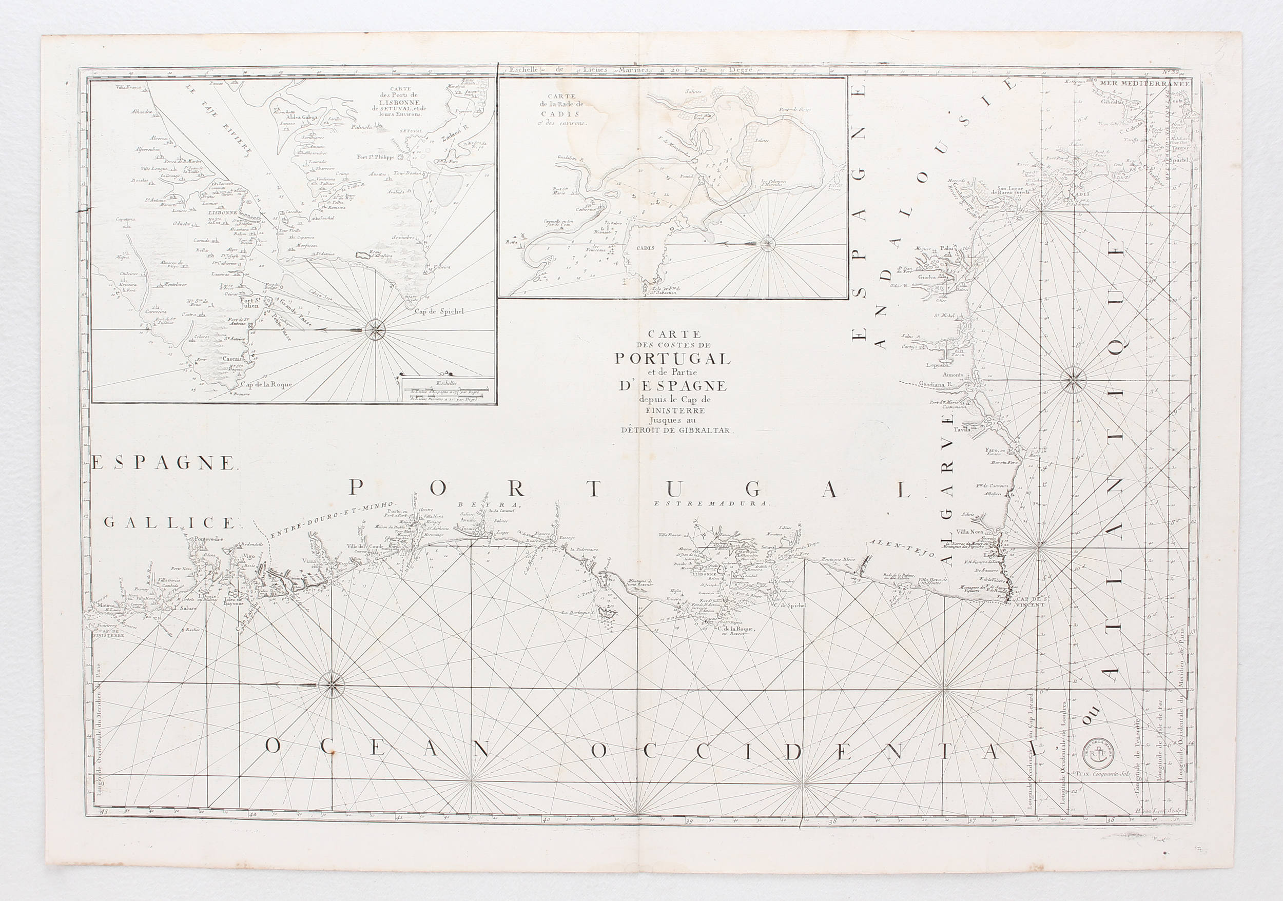
Carte Générale des Costes D'Irlande, et des Costes Occidentales D'Angleterre avec une partie de celles D'Ecosse
nautical chart depicting the coast of Ireland, the western coast of England and Wales, with south-west Scotland, with an inset chart of the Dee estuary to Chester, engraved map with hand-colouring, 620 x 880mm., central vertical fold, with adjacent wear and browning, marginal tears and small areas of loss, repaired verso, several just inside the platemark, some affecting image, Paris, c.1750.




Testen Sie LotSearch und seine Premium-Features 7 Tage - ohne Kosten!
Lassen Sie sich automatisch über neue Objekte in kommenden Auktionen benachrichtigen.
Suchauftrag anlegen