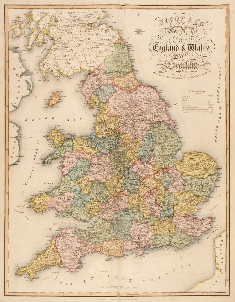
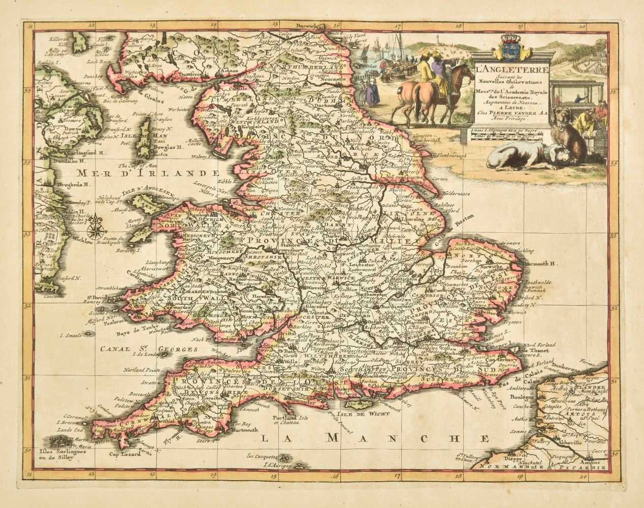
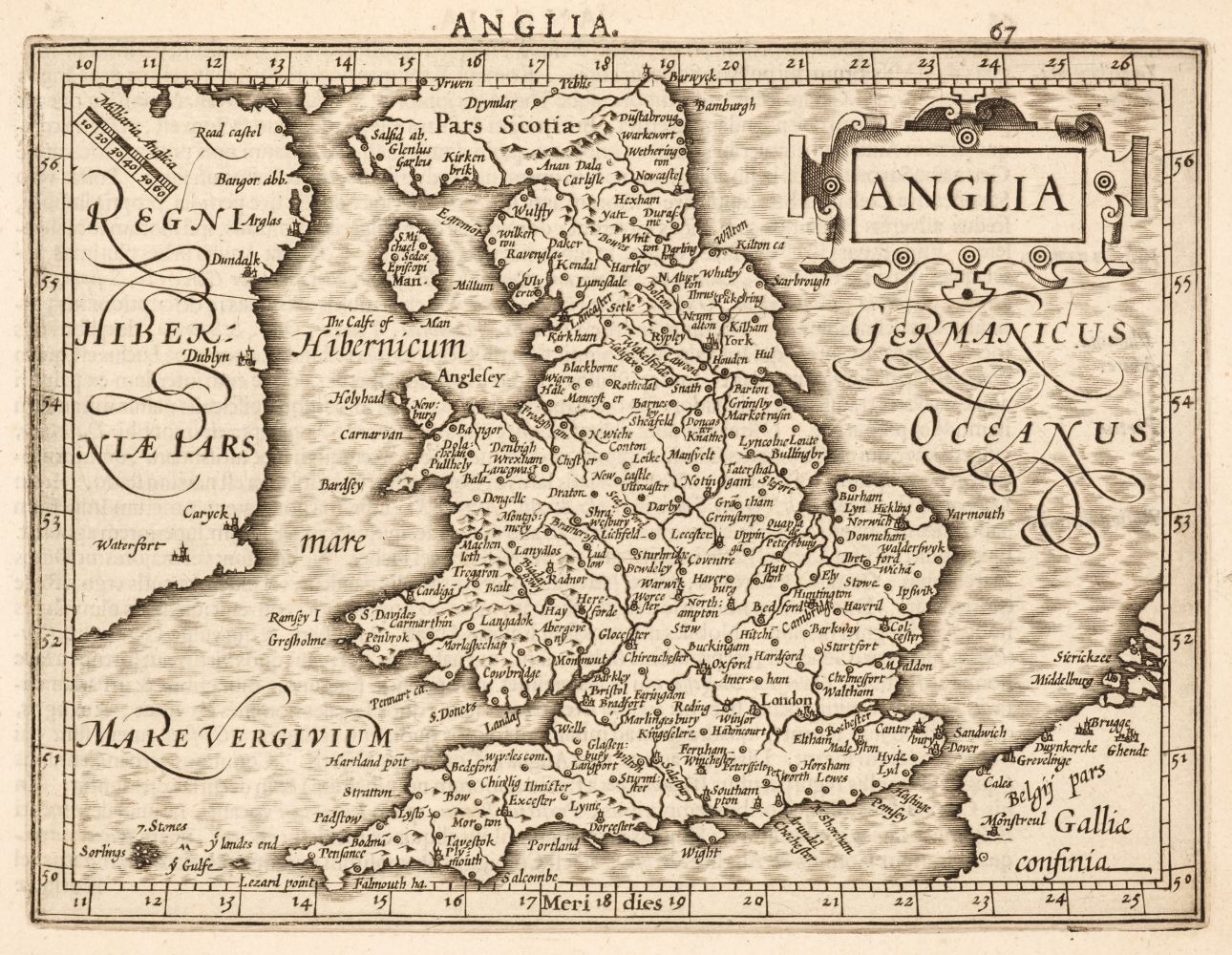
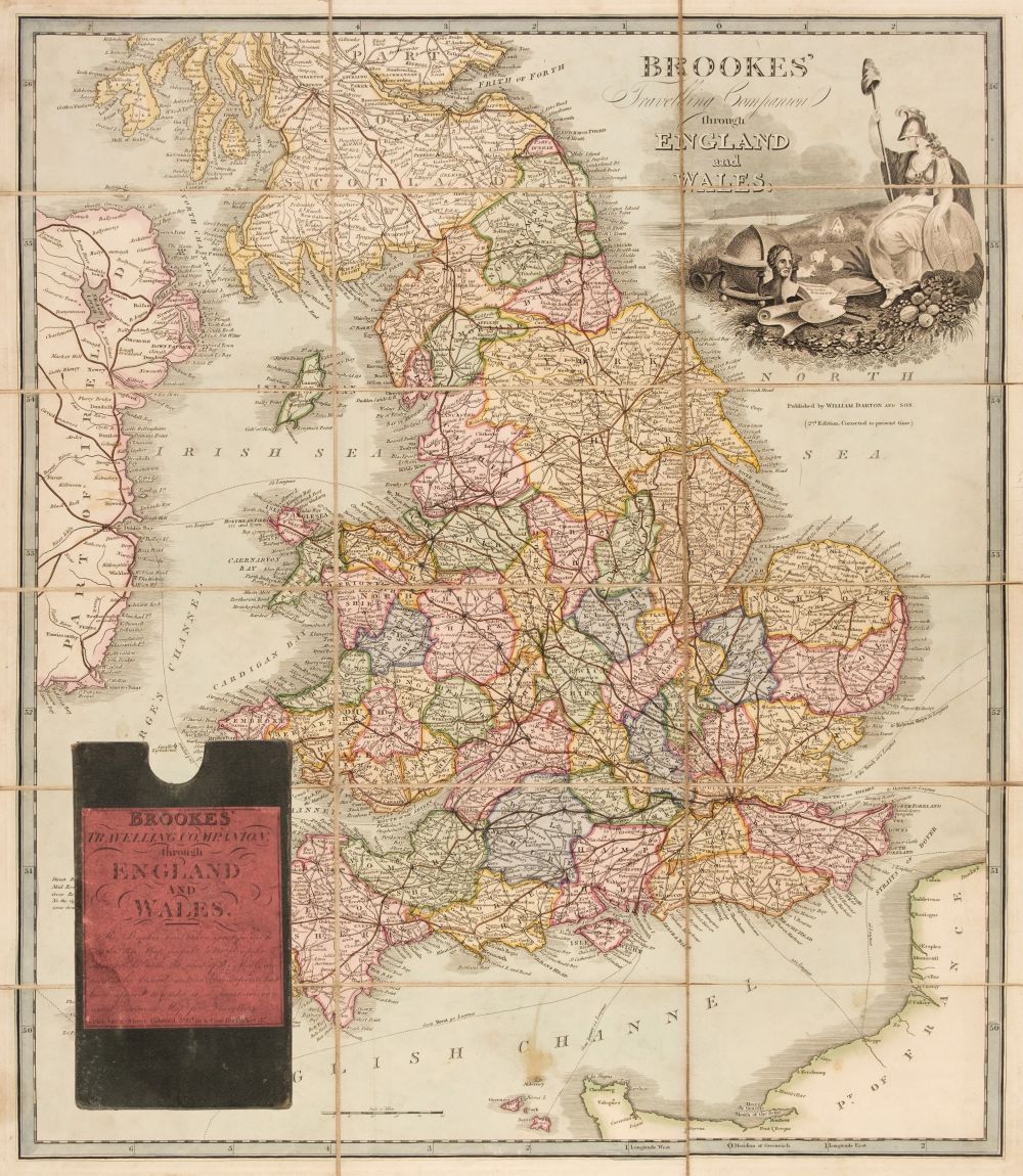
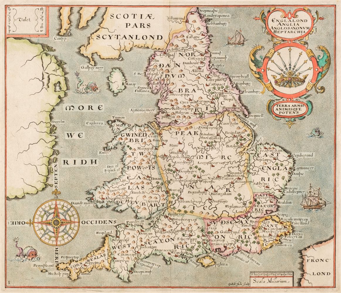
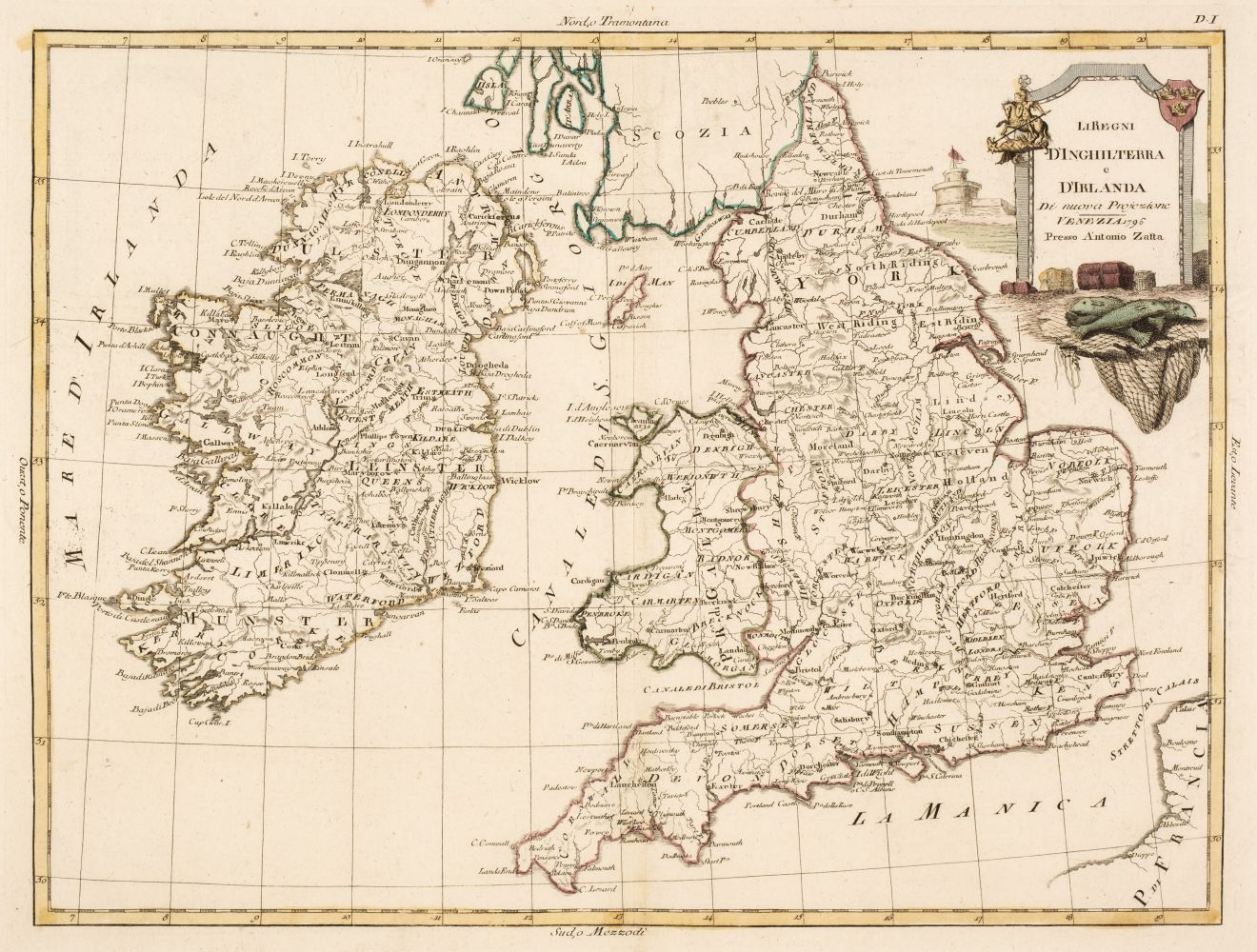
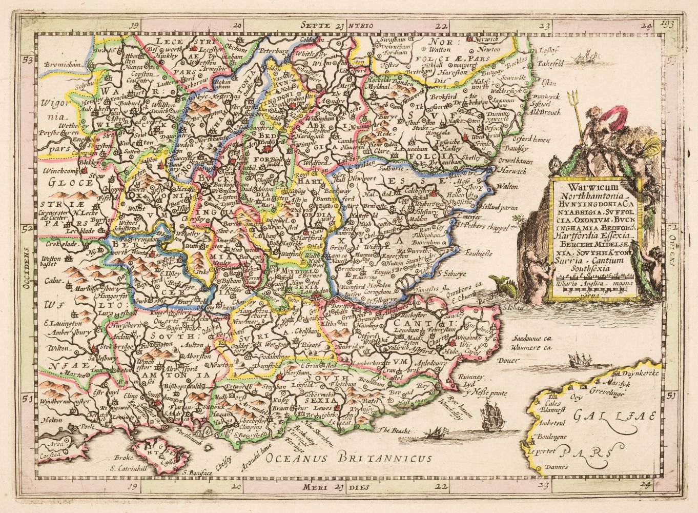
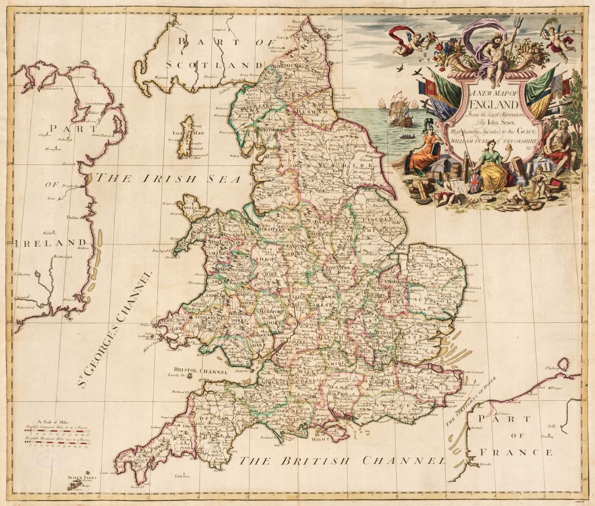
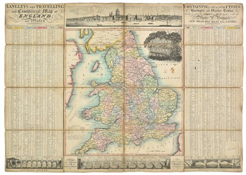
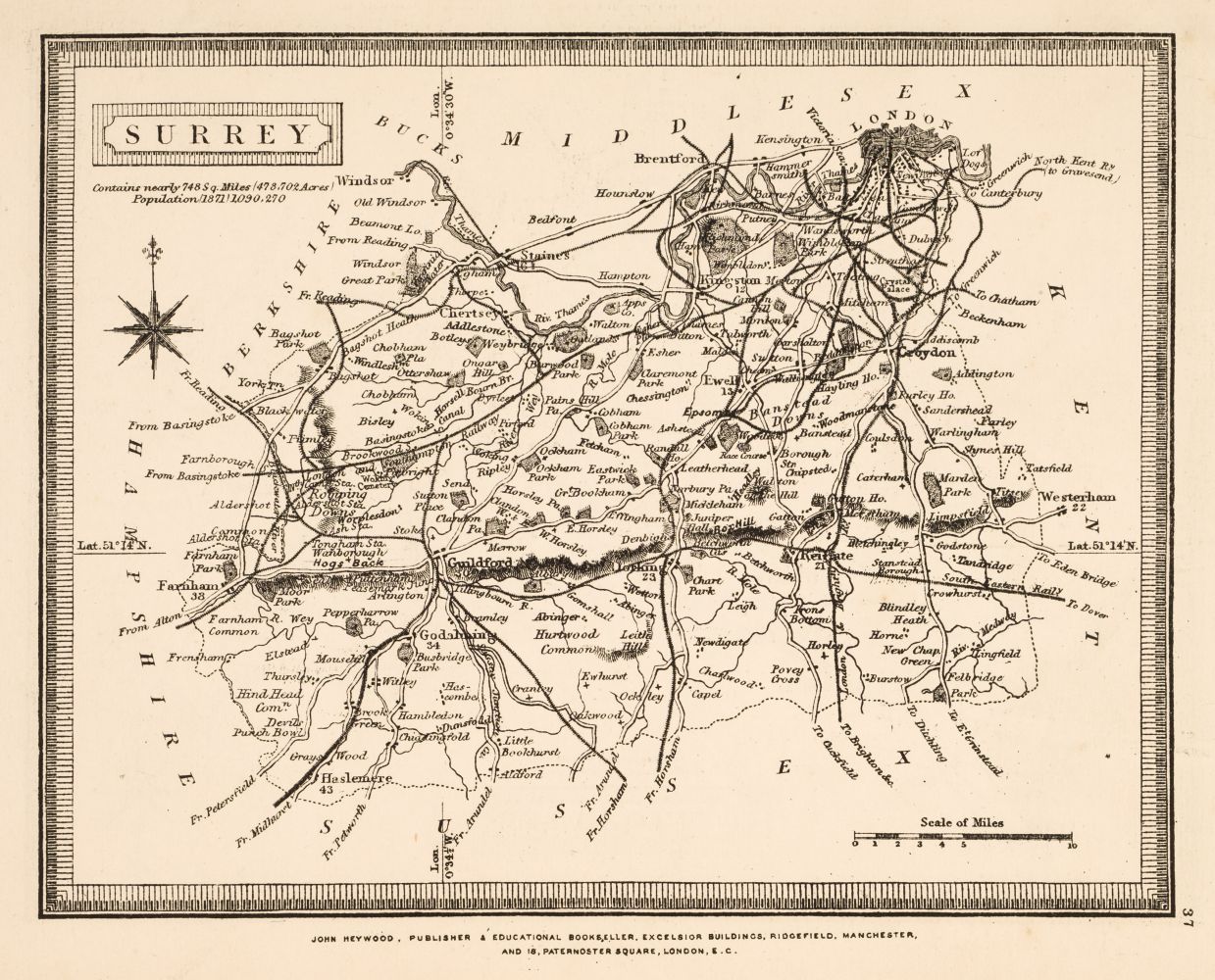
England & Wales. A collection of thirty- six maps, 18th & 19th century, engraved and lithographic maps, many with hand-colouring, including examples by or after Zatta, Stukeley, Horsley, Harrison, Hooper, Hutchinson, Brion de la Tour, Barbié du Bocage, Blair, Clouet, Euler, De Vaugondy, Bowen (Emanuel), Wells, Pigot, Slater, Dyonnet, J & C Walker, Davies, Cary, Faden, Neele, Neele/Pinkerton, Mogg, Murray, Johnson, Arrowsmith, Enouy and Moule, occasional duplicates, mostly large format, but various sizes, good condition, together with Barlow (William). England, 17th September 1861, highly detailed pen, ink and watercolour map of England and Wales, slight dust soiling, 445 x 350 mm (Quantity: 37)
England & Wales. A collection of thirty- six maps, 18th & 19th century, engraved and lithographic maps, many with hand-colouring, including examples by or after Zatta, Stukeley, Horsley, Harrison, Hooper, Hutchinson, Brion de la Tour, Barbié du Bocage, Blair, Clouet, Euler, De Vaugondy, Bowen (Emanuel), Wells, Pigot, Slater, Dyonnet, J & C Walker, Davies, Cary, Faden, Neele, Neele/Pinkerton, Mogg, Murray, Johnson, Arrowsmith, Enouy and Moule, occasional duplicates, mostly large format, but various sizes, good condition, together with Barlow (William). England, 17th September 1861, highly detailed pen, ink and watercolour map of England and Wales, slight dust soiling, 445 x 350 mm (Quantity: 37)


Testen Sie LotSearch und seine Premium-Features 7 Tage - ohne Kosten!
Lassen Sie sich automatisch über neue Objekte in kommenden Auktionen benachrichtigen.
Suchauftrag anlegen