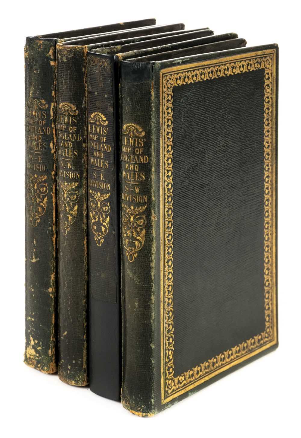
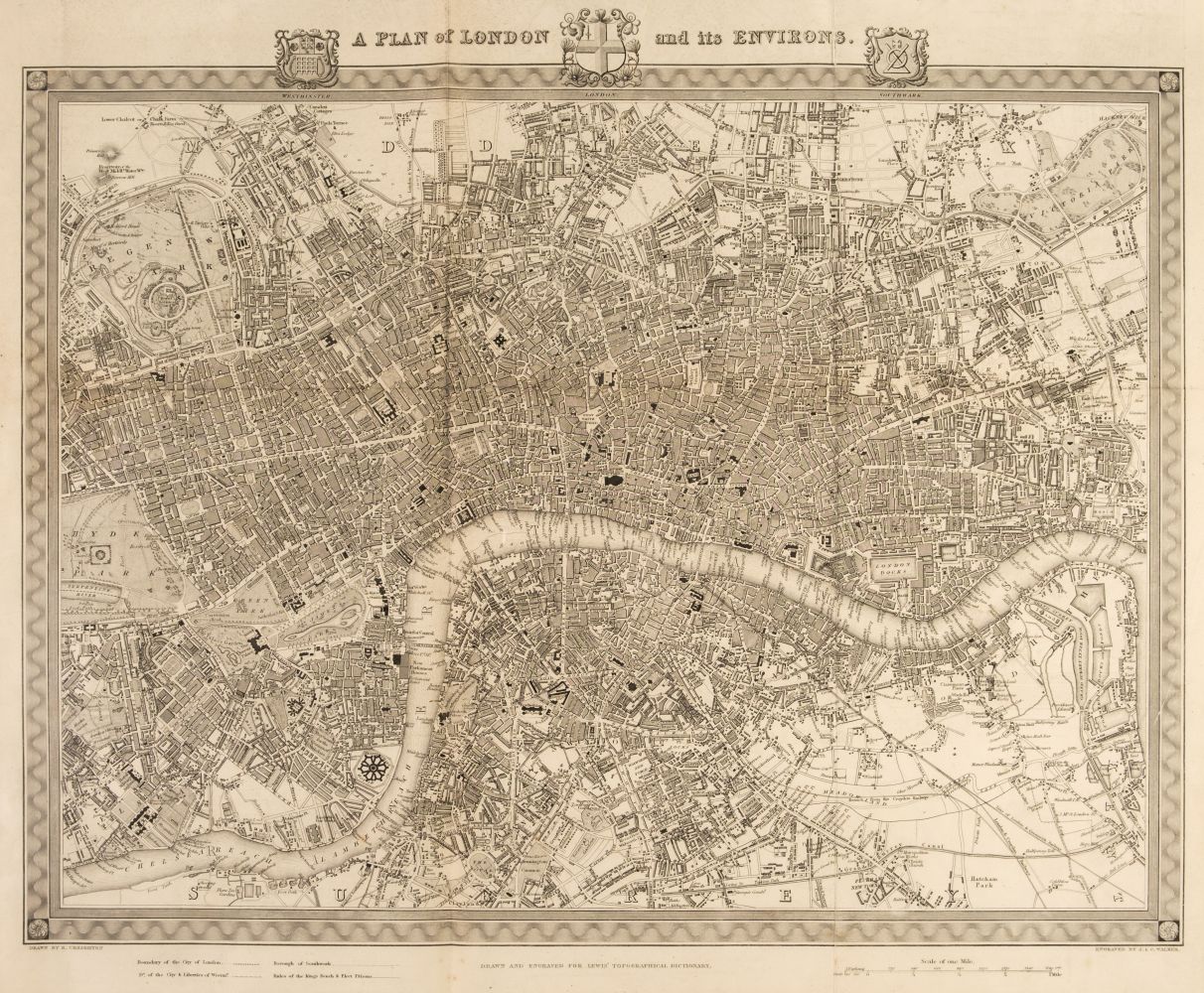
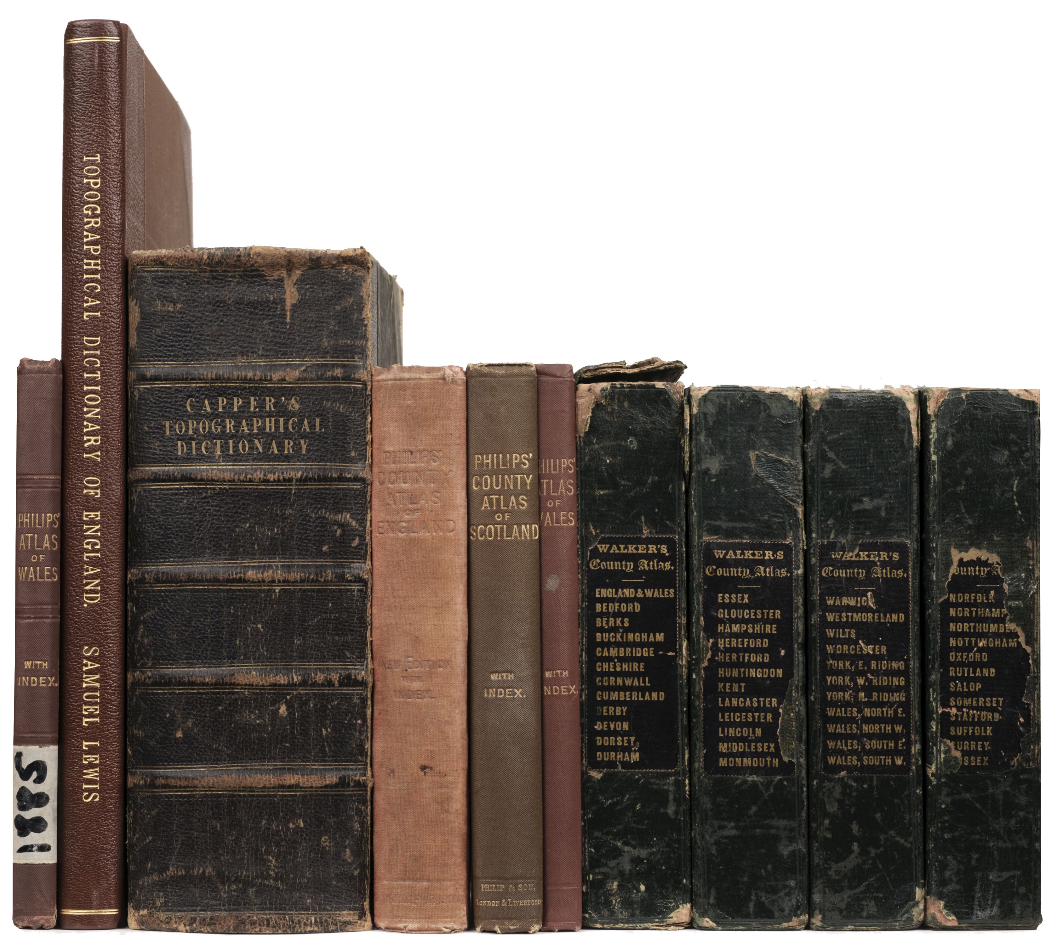
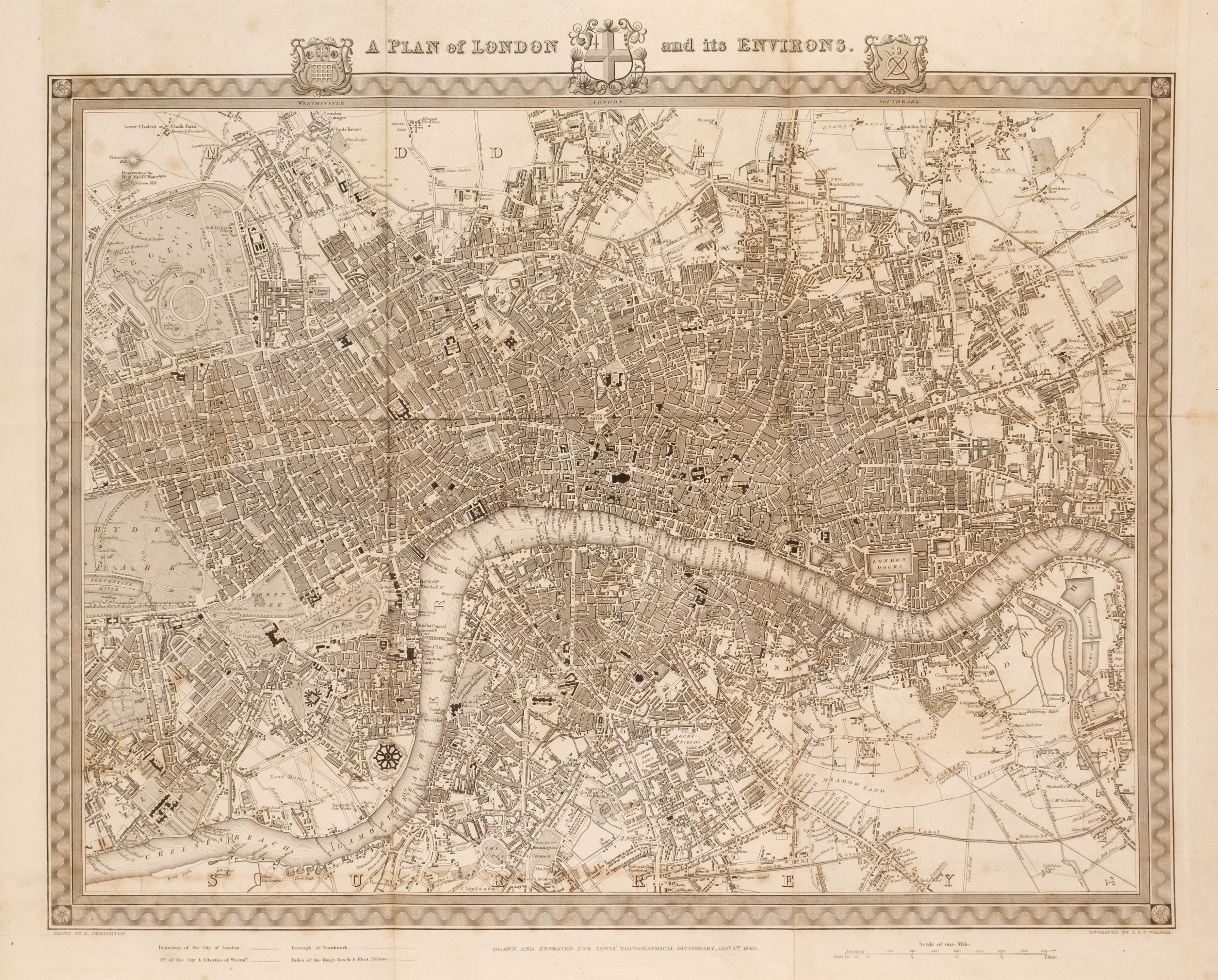
England & Wales. Lewis (Samuel), A Map of England & Wales Divided into Counties, Parliamentary Divisions and Dioceses, Shewing the Principal Roads, Railways, Rivers & Canals and the Seats of the Nobility and Gentry, with the distance of each town from the General Post Office London..., published S. Lewis & Co., 1841, large map engraved by J. Dower with contemporary outline colouring, sectionalised and laid on linen, in four parts (as published), inset map of the Scilly Isles, calligraphic cartouche, compass rose, table of explanation and large uncoloured engraved vignette of the Post Office in London, slight spotting and offsetting, each sheet approx. 1050 x 850 mm, each section bound in contemporary morocco gilt, worn and frayed, size when folded 225 x 145 mm, together with Cary (John). [Cary's New Map of England and Wales with part of Scotland on which are carefully laid down all the Direct and Principal Cross Roads, the Course of the Rivers and Navigable Canals..., 1794], lacking title, but retaining dedication and the general map of England & Wales with contemporary hand colouring, table of explanation, 77 engraved maps with contemporary outline colouring (numbered to 81), tipped in printed addendum of the 'Measured Distances in the Neighbourhood of Plumpton', slight offsetting and dust soiling, 'list of places' and subscriber's list bound at rear, first few leaves detached, some splitting and cracking along the gutter, slight dust soiling and spotting throughout, contemporary half calf, spine partially lacking, upper board detached, heavily rubbed and worn, 4to, with Bartholomew (John). The Imperial Map of England & Wales According to the Ordnance Survey, with the Latest Additions; Shewing clearly every Feature of the Country, Railways and their Stations, Roads, Canals, Rivers, Gentlemen's Seats &c. &c., On a Scale of 4 Miles to an Inch, A. Fullarton & Co., [1866], index and a double-page calligraphic title, sixteen double-page colour lithographic maps, sheet 16 divided into three separate maps, text block detached, contemporary half calf gilt, boards detached, lacking spine, slim folio, plus Bell (James). A New and Comprehensive Gazetteer of England and Wales..., 8 volumes, A. Fullarton & Co. 1837, frontispiece of an 'Extracts of Reviews', title pages with dated contemporary ownership signature to each volume, folding engraved map of England & Wales with contemporary wash colouring and 44 uncoloured engraved county maps by Archibald Fullarton, some spotting throughout, some hinges and joints partially split, publishers green cloth with contrasting paper labels to the spines, bumped, faded and worn, 8vo, together with Cox [Thomas]. Magna Britannia et Hibernia Antiqua & Nova..., volume 3 only, 1724, title page and 3 only (Middlesex, Northamptonshire & Northumberland, lacking Norfolk)) uncoloured engraved folding maps by Robert Morden each with a triangular mileage table, bookplates of John Basil Tolhurst to the front pastedown and of Prinknash Abbey to the front blank, contemporary vellum with manuscript title to the spine, 8vo, with Capper (Benjamin Pitts). A Topographical Dictionary of the United Kingdom..., Sir Richard Phillips and Co. 1829, frontispiece of an uncoloured engraved folding map of the British Isles, title page, introduction and index, 43 uncoloured engraved maps, preliminaries detached, contemporary quarter sheep, lacking spine, upper board detached rear board near detached, heavily rubbed and worn, 8vo (Quantity: 16)
England & Wales. Lewis (Samuel), A Map of England & Wales Divided into Counties, Parliamentary Divisions and Dioceses, Shewing the Principal Roads, Railways, Rivers & Canals and the Seats of the Nobility and Gentry, with the distance of each town from the General Post Office London..., published S. Lewis & Co., 1841, large map engraved by J. Dower with contemporary outline colouring, sectionalised and laid on linen, in four parts (as published), inset map of the Scilly Isles, calligraphic cartouche, compass rose, table of explanation and large uncoloured engraved vignette of the Post Office in London, slight spotting and offsetting, each sheet approx. 1050 x 850 mm, each section bound in contemporary morocco gilt, worn and frayed, size when folded 225 x 145 mm, together with Cary (John). [Cary's New Map of England and Wales with part of Scotland on which are carefully laid down all the Direct and Principal Cross Roads, the Course of the Rivers and Navigable Canals..., 1794], lacking title, but retaining dedication and the general map of England & Wales with contemporary hand colouring, table of explanation, 77 engraved maps with contemporary outline colouring (numbered to 81), tipped in printed addendum of the 'Measured Distances in the Neighbourhood of Plumpton', slight offsetting and dust soiling, 'list of places' and subscriber's list bound at rear, first few leaves detached, some splitting and cracking along the gutter, slight dust soiling and spotting throughout, contemporary half calf, spine partially lacking, upper board detached, heavily rubbed and worn, 4to, with Bartholomew (John). The Imperial Map of England & Wales According to the Ordnance Survey, with the Latest Additions; Shewing clearly every Feature of the Country, Railways and their Stations, Roads, Canals, Rivers, Gentlemen's Seats &c. &c., On a Scale of 4 Miles to an Inch, A. Fullarton & Co., [1866], index and a double-page calligraphic title, sixteen double-page colour lithographic maps, sheet 16 divided into three separate maps, text block detached, contemporary half calf gilt, boards detached, lacking spine, slim folio, plus Bell (James). A New and Comprehensive Gazetteer of England and Wales..., 8 volumes, A. Fullarton & Co. 1837, frontispiece of an 'Extracts of Reviews', title pages with dated contemporary ownership signature to each volume, folding engraved map of England & Wales with contemporary wash colouring and 44 uncoloured engraved county maps by Archibald Fullarton, some spotting throughout, some hinges and joints partially split, publishers green cloth with contrasting paper labels to the spines, bumped, faded and worn, 8vo, together with Cox [Thomas]. Magna Britannia et Hibernia Antiqua & Nova..., volume 3 only, 1724, title page and 3 only (Middlesex, Northamptonshire & Northumberland, lacking Norfolk)) uncoloured engraved folding maps by Robert Morden each with a triangular mileage table, bookplates of John Basil Tolhurst to the front pastedown and of Prinknash Abbey to the front blank, contemporary vellum with manuscript title to the spine, 8vo, with Capper (Benjamin Pitts). A Topographical Dictionary of the United Kingdom..., Sir Richard Phillips and Co. 1829, frontispiece of an uncoloured engraved folding map of the British Isles, title page, introduction and index, 43 uncoloured engraved maps, preliminaries detached, contemporary quarter sheep, lacking spine, upper board detached rear board near detached, heavily rubbed and worn, 8vo (Quantity: 16)








Testen Sie LotSearch und seine Premium-Features 7 Tage - ohne Kosten!
Lassen Sie sich automatisch über neue Objekte in kommenden Auktionen benachrichtigen.
Suchauftrag anlegen