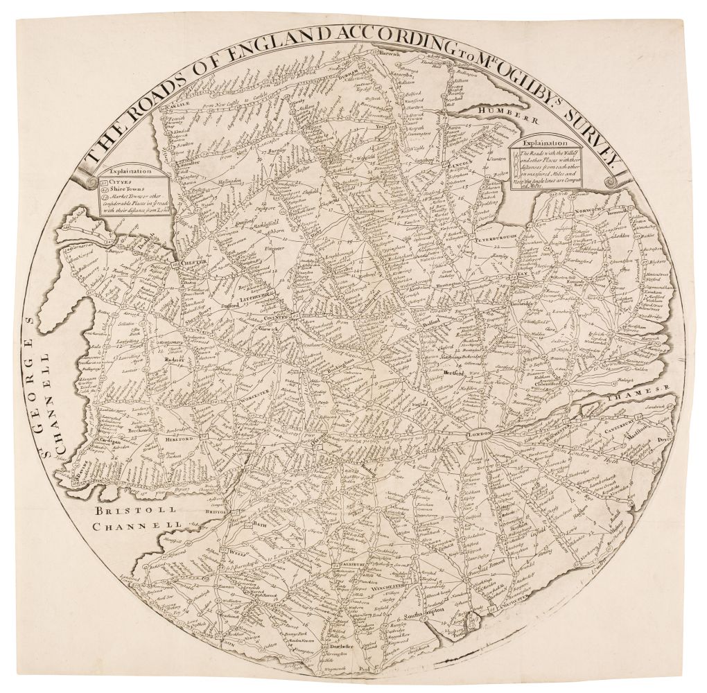
England & Wales. Willdey (George), The Roads of England According to Mr Ogilby's Survey, circa 1740, uncoloured engraved circular map, old folds, diameter 520 mm An apparently unrecorded later state of Willdey's 1713 map, lacking the heavily decorated and scrolled outer border and with the George Willdey imprint removed. The old folds would indicate that the map was folded and bound, possibly in a small road book, but we can find no record. Not recorded in Shirley. Earlier editions - R. W. Shirley. Printed Maps of the British Isles 1650 - 1750, Willdey 1.
England & Wales. Willdey (George), The Roads of England According to Mr Ogilby's Survey, circa 1740, uncoloured engraved circular map, old folds, diameter 520 mm An apparently unrecorded later state of Willdey's 1713 map, lacking the heavily decorated and scrolled outer border and with the George Willdey imprint removed. The old folds would indicate that the map was folded and bound, possibly in a small road book, but we can find no record. Not recorded in Shirley. Earlier editions - R. W. Shirley. Printed Maps of the British Isles 1650 - 1750, Willdey 1.


Testen Sie LotSearch und seine Premium-Features 7 Tage - ohne Kosten!
Lassen Sie sich automatisch über neue Objekte in kommenden Auktionen benachrichtigen.
Suchauftrag anlegen