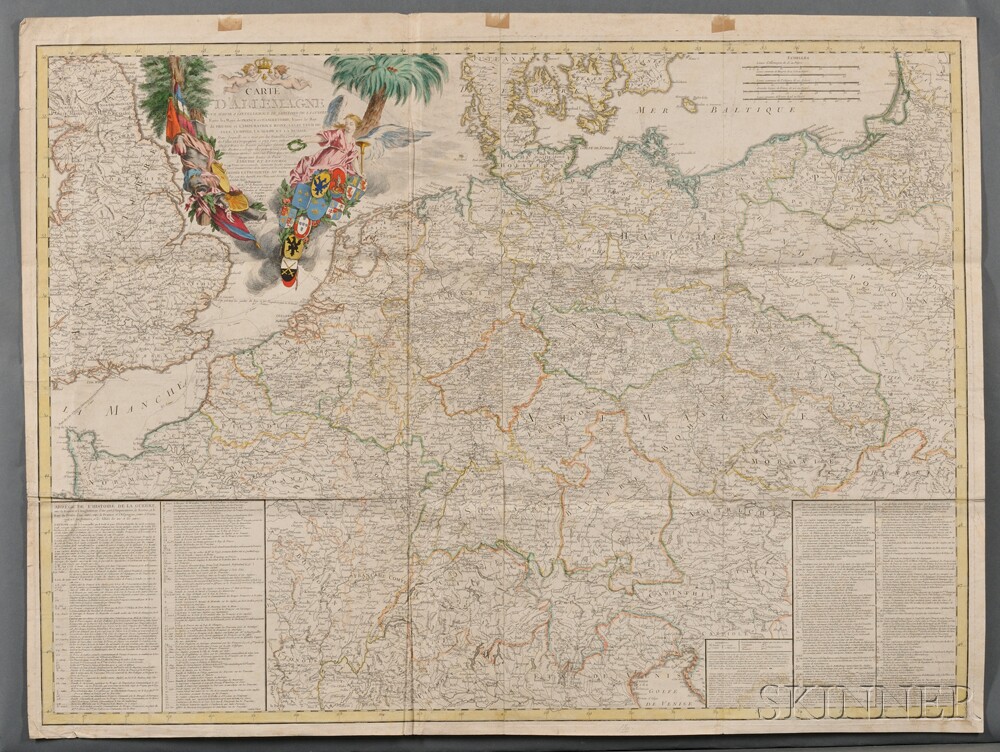
Europe and Germany, Two Maps. Postarum seu Veredariorum Stationes per Germaniam et Provincias Adiacentes, Johann Peter Nell (1672-1743), Brussels, 1711, large double-page engraved map on paper, outline color, and cartouche in top left corner, tear and stain on left edge, affecting a small portion of the map; this is a map of post roads in the Low Countries, Germany, Poland, Switzerland, Austria, and south, including Venice, Paris, Lübeck, Krakow; centered on Bamberg, 24 1/2 x 21 1/2 in. [and] Carte D'Allemagne pour Servir a l'Intelligence de l'Histoire de la Guerre, Paris: Beaurain, 1785, large folding folio engraved map on paper, printed on two sheets, outline and cartouche color, toning, faint water stains, old folds, some paper tabs pasted along the top margin, 39 1/2 x 30 in. (2)
Europe and Germany, Two Maps. Postarum seu Veredariorum Stationes per Germaniam et Provincias Adiacentes, Johann Peter Nell (1672-1743), Brussels, 1711, large double-page engraved map on paper, outline color, and cartouche in top left corner, tear and stain on left edge, affecting a small portion of the map; this is a map of post roads in the Low Countries, Germany, Poland, Switzerland, Austria, and south, including Venice, Paris, Lübeck, Krakow; centered on Bamberg, 24 1/2 x 21 1/2 in. [and] Carte D'Allemagne pour Servir a l'Intelligence de l'Histoire de la Guerre, Paris: Beaurain, 1785, large folding folio engraved map on paper, printed on two sheets, outline and cartouche color, toning, faint water stains, old folds, some paper tabs pasted along the top margin, 39 1/2 x 30 in. (2)


.jpg)


Testen Sie LotSearch und seine Premium-Features 7 Tage - ohne Kosten!
Lassen Sie sich automatisch über neue Objekte in kommenden Auktionen benachrichtigen.
Suchauftrag anlegen