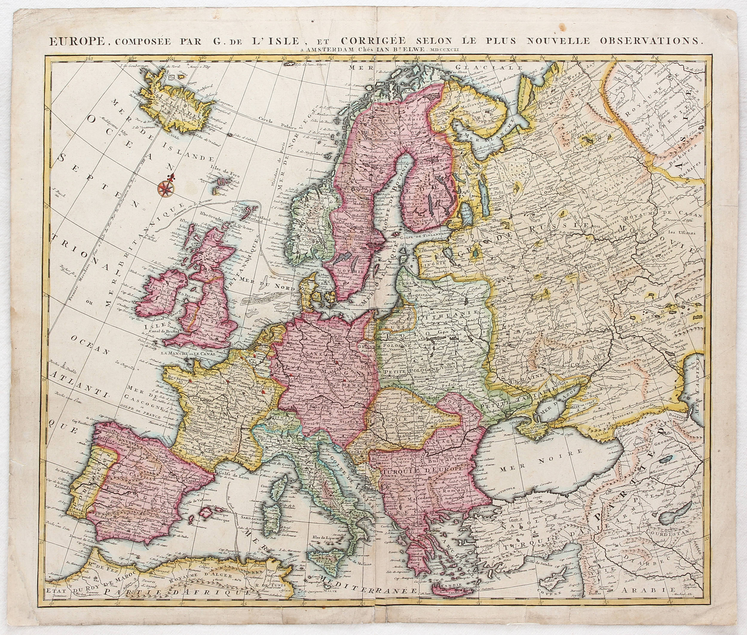
[Europe]. "Historische en geographische tafel om te leren een kort begrip vande Landen en Staaten in Europa, haar grootheyt Besitting en alles dat tot onderricht der Liefhebbers vande Land beschryvinge dienen kan." Contemp. handcol. engr. table, 48,5x58 cm., Amst., J.B. Elwe, 1792. - Upper part middle fold splitting. = With the address of J. and R. Ottens in top margin. "Status ecclesiasticus et magnus ducatus Thoscanae." Handcol. engr. map, large dec. cartouche, 49,5x58 cm., Amst., F. De Wit ±1690. - Dustsoiled; frayed; creased in corners. AND 2 maps of Limburg (ibid., I. Tirion, ±1750) and Denmark (ibid., F. de Wit ±1680. Soiled; w. tears).
[Europe]. "Historische en geographische tafel om te leren een kort begrip vande Landen en Staaten in Europa, haar grootheyt Besitting en alles dat tot onderricht der Liefhebbers vande Land beschryvinge dienen kan." Contemp. handcol. engr. table, 48,5x58 cm., Amst., J.B. Elwe, 1792. - Upper part middle fold splitting. = With the address of J. and R. Ottens in top margin. "Status ecclesiasticus et magnus ducatus Thoscanae." Handcol. engr. map, large dec. cartouche, 49,5x58 cm., Amst., F. De Wit ±1690. - Dustsoiled; frayed; creased in corners. AND 2 maps of Limburg (ibid., I. Tirion, ±1750) and Denmark (ibid., F. de Wit ±1680. Soiled; w. tears).


Testen Sie LotSearch und seine Premium-Features 7 Tage - ohne Kosten!
Lassen Sie sich automatisch über neue Objekte in kommenden Auktionen benachrichtigen.
Suchauftrag anlegen