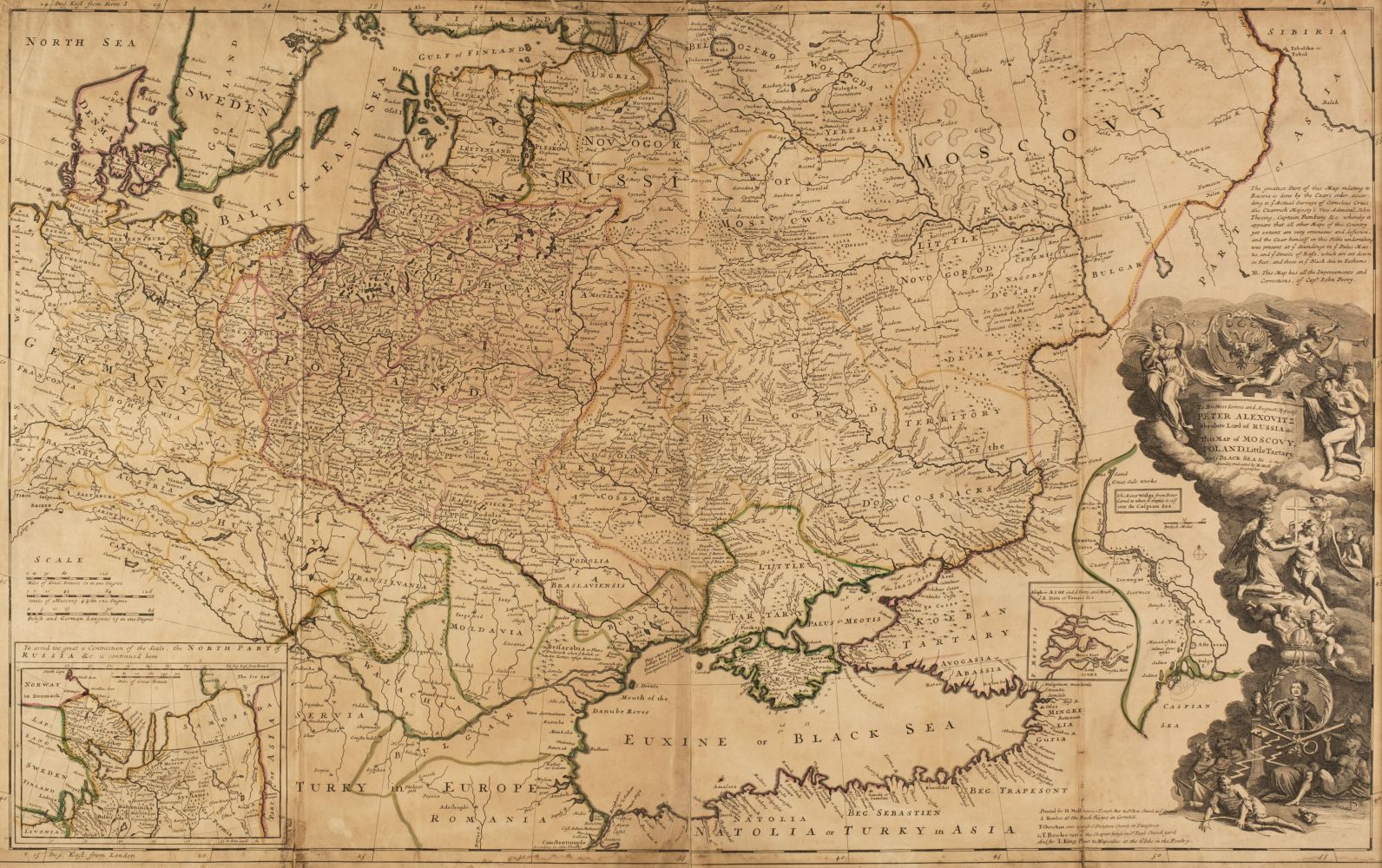
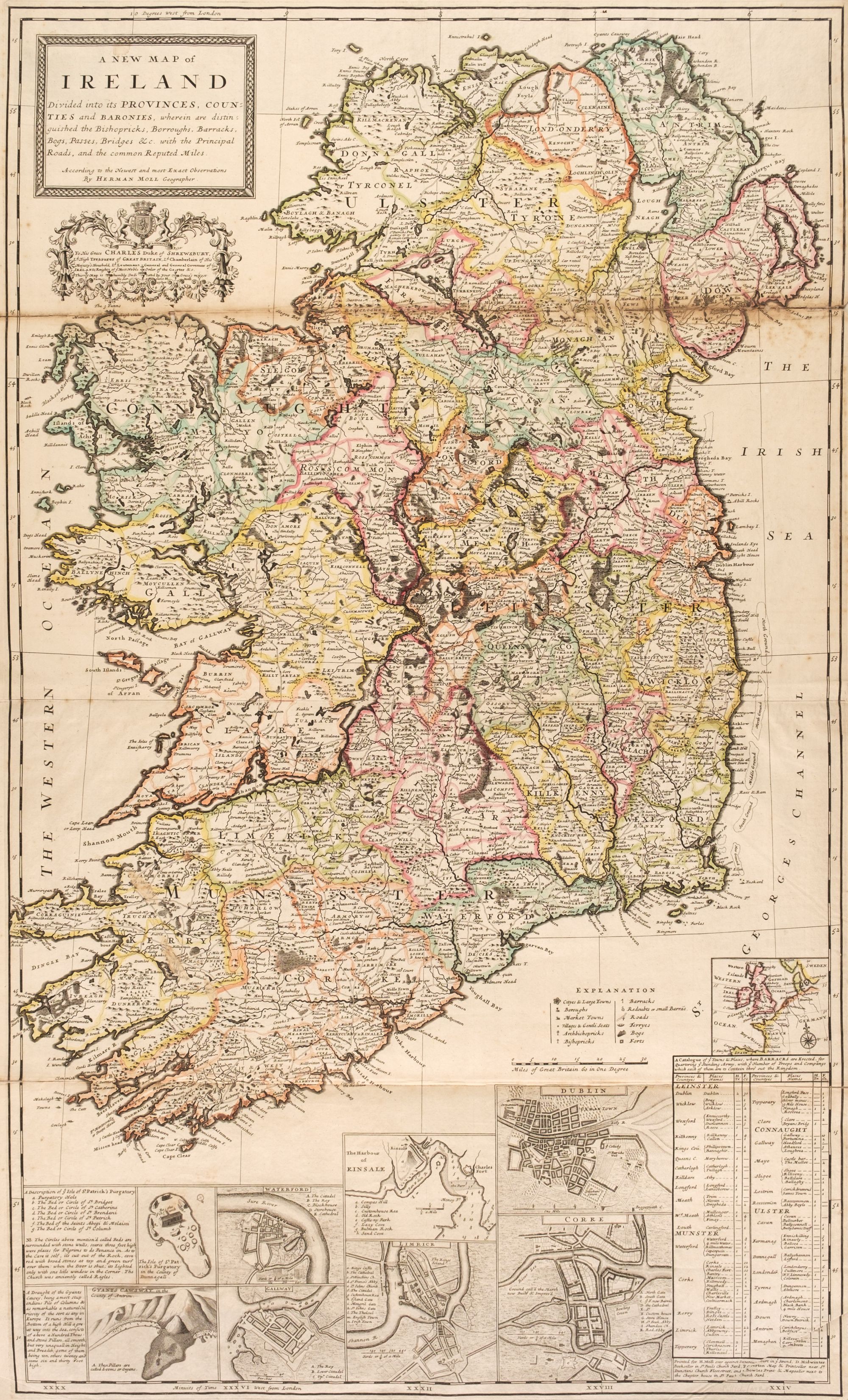
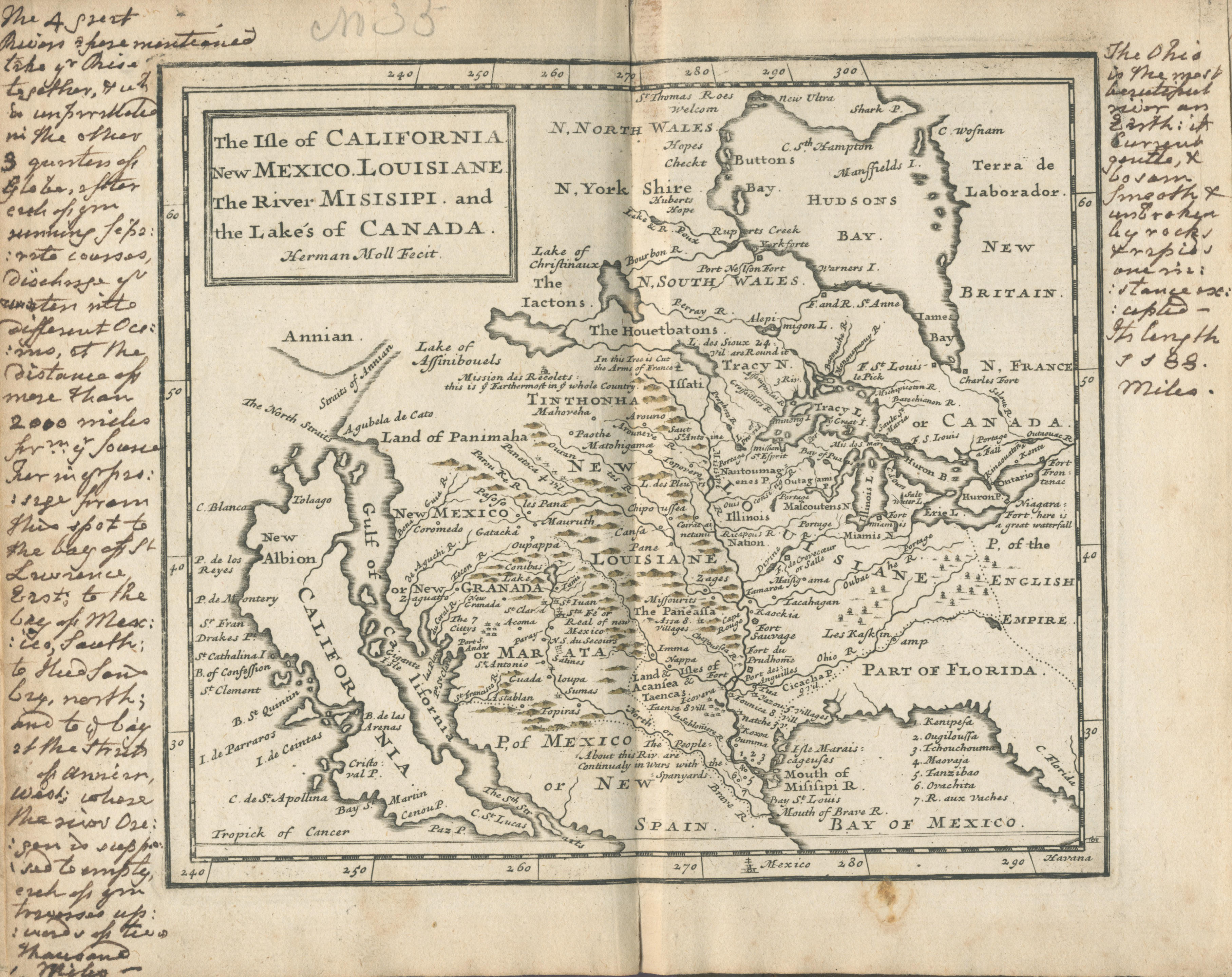
Europe.- Moll (Herman) A New Map of Germany, Hungary, Transilvania & the Suisse Cantons, showing from the North Sea east to Danzig, Belgrade and Trieste incorporating all of Germany, Switzerland, Austria and Hungary, with cartouche celebrating the victories of the Duke of Marlborough in the upper left, and vignette of the Diet of the Holy Roman Empire in the upper right, engraving with hand-colouring mounted on linen, sheet 650 x 1020 mm. (25 1/2 x 40 1/4 in), horizontal and vertical folds, minor surface dirt, some nicks and tears, unframed, 1712.
Europe.- Moll (Herman) A New Map of Germany, Hungary, Transilvania & the Suisse Cantons, showing from the North Sea east to Danzig, Belgrade and Trieste incorporating all of Germany, Switzerland, Austria and Hungary, with cartouche celebrating the victories of the Duke of Marlborough in the upper left, and vignette of the Diet of the Holy Roman Empire in the upper right, engraving with hand-colouring mounted on linen, sheet 650 x 1020 mm. (25 1/2 x 40 1/4 in), horizontal and vertical folds, minor surface dirt, some nicks and tears, unframed, 1712.


.jpg)
Testen Sie LotSearch und seine Premium-Features 7 Tage - ohne Kosten!
Lassen Sie sich automatisch über neue Objekte in kommenden Auktionen benachrichtigen.
Suchauftrag anlegen