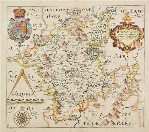
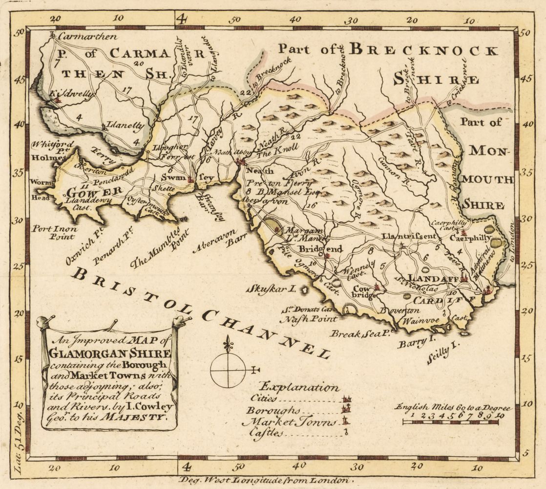
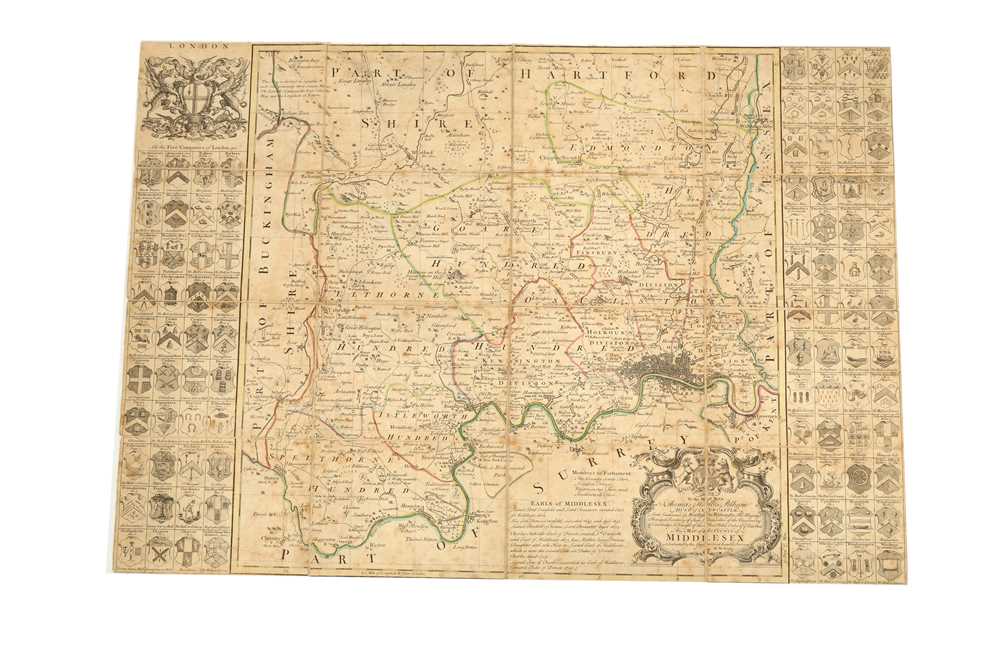
County Maps. A collection of 12 folding county maps, 18th & 19th century, twelve engraved folding maps, sectionalised and laid on linen, including, Bowen (Emanuel). An Accurate Map of Dorset Shire Divided into its Hundreds..., Carington Bowles and Robert Sayer circa 1765, engraved map with contemporary outline colouring, sectionalised and laid on linen, 540 x 700 mm, contained in a contemporary marbled card slipcase with a manuscript label to the upper cover, case worn and frayed, together with An Accurate Map of Buckinghamshire divided into its hundreds..., J. Tinney, R. Sayer, T. & J. Bowels, 1756, engraved map with contemporary outline colouring, sectionalised and laid on linen, 700 x 530 mm, contained in a contemporary marbled card slipcase with a printed label to the upper cover, slight wear to the extremities, with Gream (Thomas). A Topographical Map of the County of Sussex, reduced from the large survey in four sheets..., W. Faden 1819, engraved map with contemporary outline colouring, sectionalised and laid on linen, some offsetting, 370 x 790 mm, contained in a contemporary marbled card slipcase with a printed label to the upper cover, some wear, plus Cary (John). Cary's Map of the Lakes in Westmorland, Cumberland and Lancashire..., 1816, engraved map with contemporary outline colouring, sectionalised and laid on linen, 565 x 535 mm, marbled endpapers, contained in a contemporary marbled card slipcase with a printed label to the upper cover, slight wear to extremities, and Bowen (Emanuel). An Accurate Map of the County of Northampton divided into hundreds..., J. Ryall, R. Sayer, T. Kitchin, H. Overton, J. Bowles & Son and Messrs Bakewell and Parker, circa 1762, engraved map with contemporary outline colouring, sectionalised and laid on linen, 505 x 415 mm, contained in a contemporary marbled card slipcase with a printed label to the upper cover, slight wear to extremities, with another seven maps similar, including examples by or after Smith, Bowen and Andrews & Dury (index map), various sizes and condition (Quantity: 12)
County Maps. A collection of 12 folding county maps, 18th & 19th century, twelve engraved folding maps, sectionalised and laid on linen, including, Bowen (Emanuel). An Accurate Map of Dorset Shire Divided into its Hundreds..., Carington Bowles and Robert Sayer circa 1765, engraved map with contemporary outline colouring, sectionalised and laid on linen, 540 x 700 mm, contained in a contemporary marbled card slipcase with a manuscript label to the upper cover, case worn and frayed, together with An Accurate Map of Buckinghamshire divided into its hundreds..., J. Tinney, R. Sayer, T. & J. Bowels, 1756, engraved map with contemporary outline colouring, sectionalised and laid on linen, 700 x 530 mm, contained in a contemporary marbled card slipcase with a printed label to the upper cover, slight wear to the extremities, with Gream (Thomas). A Topographical Map of the County of Sussex, reduced from the large survey in four sheets..., W. Faden 1819, engraved map with contemporary outline colouring, sectionalised and laid on linen, some offsetting, 370 x 790 mm, contained in a contemporary marbled card slipcase with a printed label to the upper cover, some wear, plus Cary (John). Cary's Map of the Lakes in Westmorland, Cumberland and Lancashire..., 1816, engraved map with contemporary outline colouring, sectionalised and laid on linen, 565 x 535 mm, marbled endpapers, contained in a contemporary marbled card slipcase with a printed label to the upper cover, slight wear to extremities, and Bowen (Emanuel). An Accurate Map of the County of Northampton divided into hundreds..., J. Ryall, R. Sayer, T. Kitchin, H. Overton, J. Bowles & Son and Messrs Bakewell and Parker, circa 1762, engraved map with contemporary outline colouring, sectionalised and laid on linen, 505 x 415 mm, contained in a contemporary marbled card slipcase with a printed label to the upper cover, slight wear to extremities, with another seven maps similar, including examples by or after Smith, Bowen and Andrews & Dury (index map), various sizes and condition (Quantity: 12)


Testen Sie LotSearch und seine Premium-Features 7 Tage - ohne Kosten!
Lassen Sie sich automatisch über neue Objekte in kommenden Auktionen benachrichtigen.
Suchauftrag anlegen