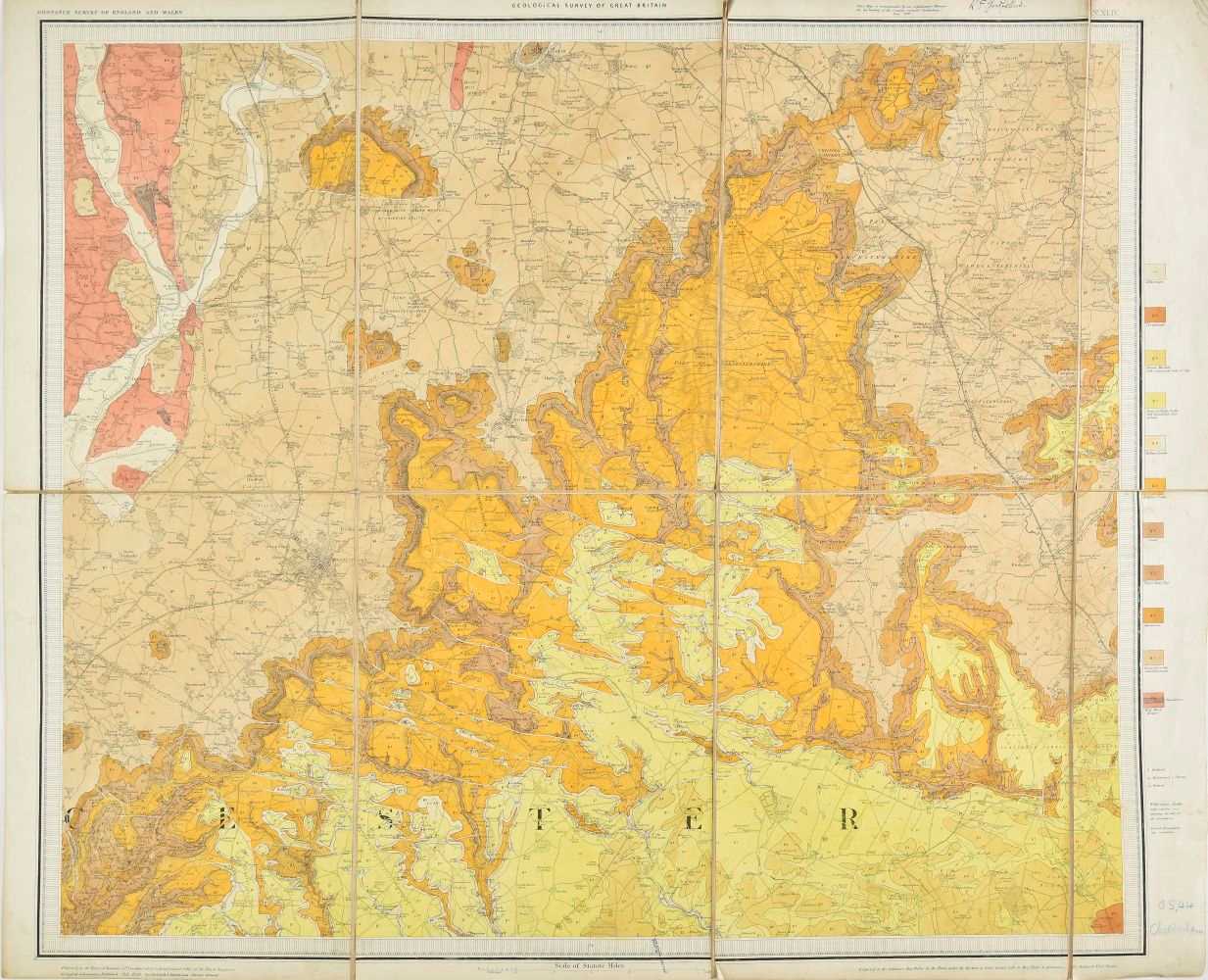
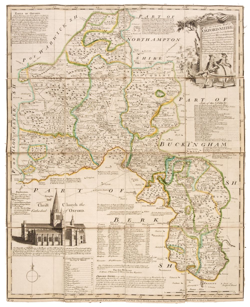
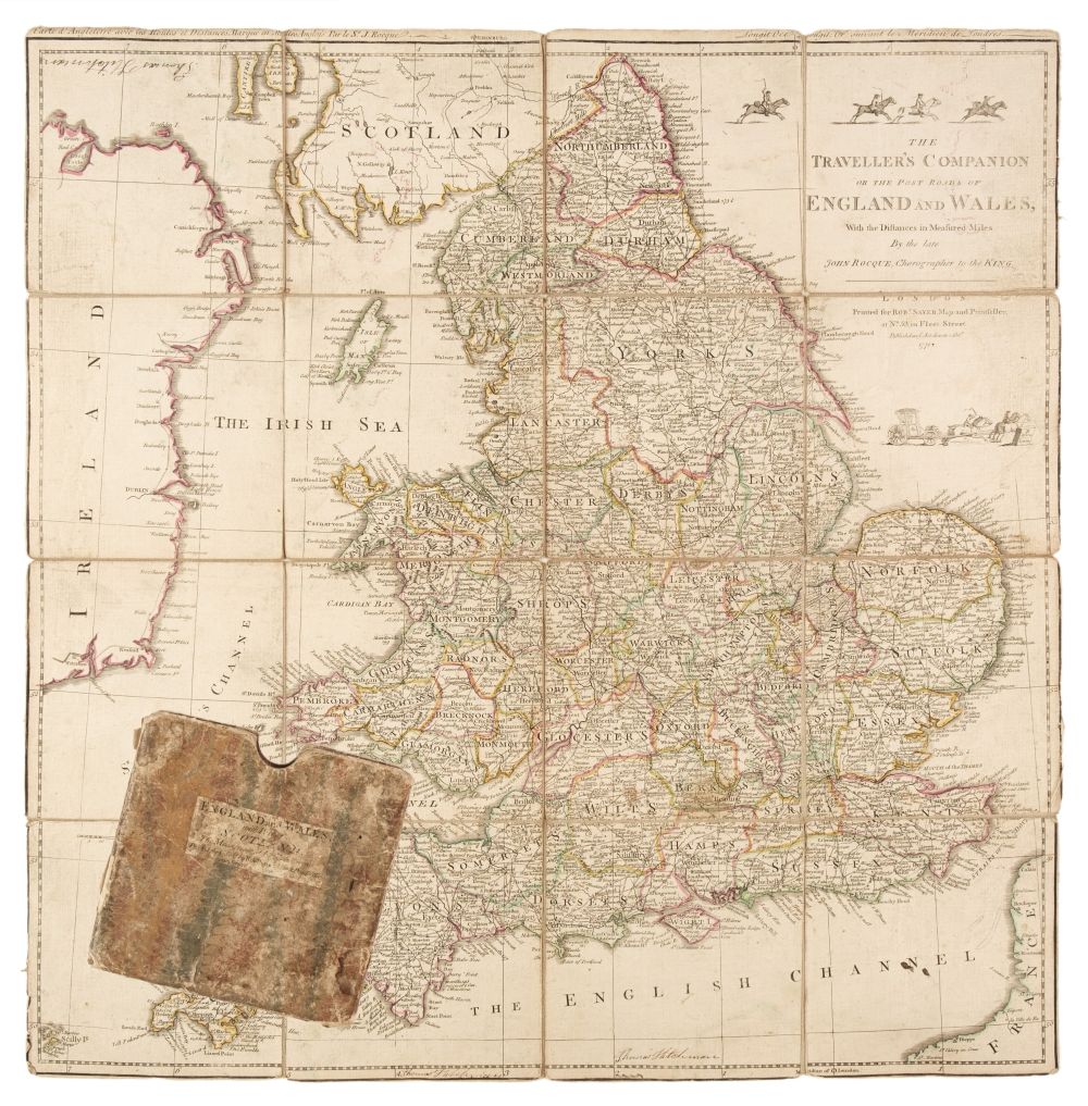
Folding Maps. A mixed collection of 30 maps, 19th & 20th century, including River Thames. Farrer's Panoramic Atlas of the Thames and Medway, extending from Cirencester to Southend with 46 page guide from Oxford to Southend, Farrer & Sons, circa 1880, frontispiece of a black and white photolithographic view of Windsor Castle, 46 pages of descriptive text and an eight sheet colour printed map of the River Thames, Tombleson's Panoramic Map of the Thames and Medway, published by G. W. Bacon & Co. Ltd., each map sheet 170 x 220 mm, if conjoined 1320 x 220 mm, gutta-percha perished, contents shaken and loose, publisher's red cloth boards, binding size 175 x 120 mm, together with John Bartholomew & Co. (publisher). The Autocar Map for Motorists, published from the Autocar offices by Iliffe & Sons Ltd. circa 1925, colour printed map, sectionalised and laid on linen, 1355 x 1115 mm, publisher's colour printed endpapers, contained in a contemporary cloth slipcase with colour printed labels to both covers, with Ordnance Survey. Geological Survey of England and Wales, Sheet 12 (London and its Environs), 1895, colour lithographic map, sectionalised and laid in linen, 650 x 840 mm, marbled endpapers, contained in a contemporary red cloth slipcase with a printed label to the upper cover, plus Hayashi (Hideharu). Newest Detailed Map of the World, 1941, colour printed photolithographic map, the upper margin decorated with 16 national flags and showing the main aircraft routed and shipping lanes, the map shows a direct flight path from Japan to Hawaii which is significant as the map was published some three weeks before the Japanese attack on Pearl Harbour, old folds, small splits along some old folds, faint staining and spotting, 750 x 1055 mm, and G. W. Bacon & Co. Ltd. Bacon's New Map of London, circa 1900, folding colour photolithographic map, laid on linen, 800 x 980 mm, bound in contemporary cloth gilt boards, with another 25 folding maps and guide books, similar, including examples by or after Stanford, Philips, Ordnance Survey and W. & A. K. Johnston, various sizes and condition (Quantity: 30)
Folding Maps. A mixed collection of 30 maps, 19th & 20th century, including River Thames. Farrer's Panoramic Atlas of the Thames and Medway, extending from Cirencester to Southend with 46 page guide from Oxford to Southend, Farrer & Sons, circa 1880, frontispiece of a black and white photolithographic view of Windsor Castle, 46 pages of descriptive text and an eight sheet colour printed map of the River Thames, Tombleson's Panoramic Map of the Thames and Medway, published by G. W. Bacon & Co. Ltd., each map sheet 170 x 220 mm, if conjoined 1320 x 220 mm, gutta-percha perished, contents shaken and loose, publisher's red cloth boards, binding size 175 x 120 mm, together with John Bartholomew & Co. (publisher). The Autocar Map for Motorists, published from the Autocar offices by Iliffe & Sons Ltd. circa 1925, colour printed map, sectionalised and laid on linen, 1355 x 1115 mm, publisher's colour printed endpapers, contained in a contemporary cloth slipcase with colour printed labels to both covers, with Ordnance Survey. Geological Survey of England and Wales, Sheet 12 (London and its Environs), 1895, colour lithographic map, sectionalised and laid in linen, 650 x 840 mm, marbled endpapers, contained in a contemporary red cloth slipcase with a printed label to the upper cover, plus Hayashi (Hideharu). Newest Detailed Map of the World, 1941, colour printed photolithographic map, the upper margin decorated with 16 national flags and showing the main aircraft routed and shipping lanes, the map shows a direct flight path from Japan to Hawaii which is significant as the map was published some three weeks before the Japanese attack on Pearl Harbour, old folds, small splits along some old folds, faint staining and spotting, 750 x 1055 mm, and G. W. Bacon & Co. Ltd. Bacon's New Map of London, circa 1900, folding colour photolithographic map, laid on linen, 800 x 980 mm, bound in contemporary cloth gilt boards, with another 25 folding maps and guide books, similar, including examples by or after Stanford, Philips, Ordnance Survey and W. & A. K. Johnston, various sizes and condition (Quantity: 30)







Testen Sie LotSearch und seine Premium-Features 7 Tage - ohne Kosten!
Lassen Sie sich automatisch über neue Objekte in kommenden Auktionen benachrichtigen.
Suchauftrag anlegen