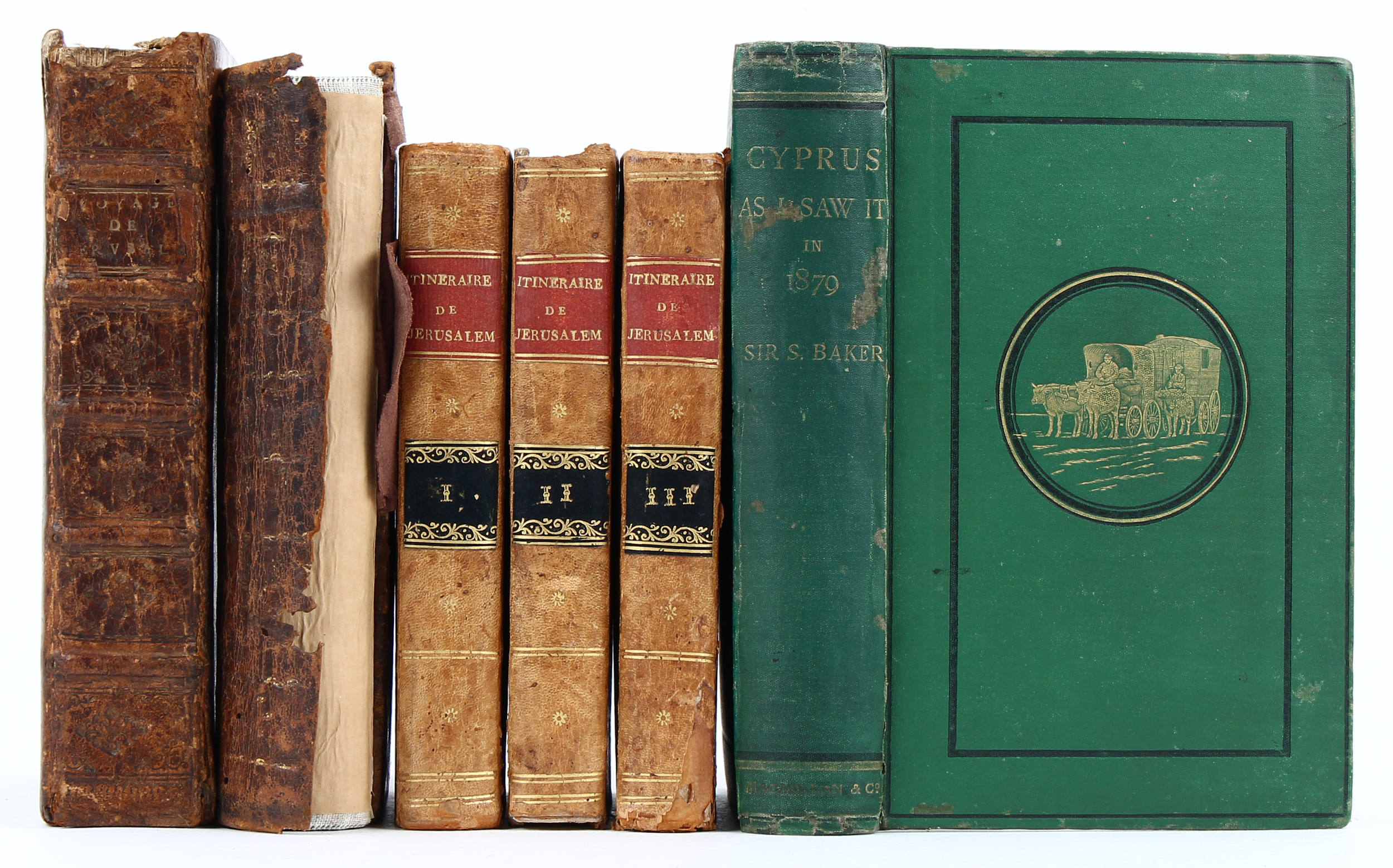
Palästina. - Goujon, J. Histoire et voyage de la Terre-Sainte. Lyon, P. Compagnon & R. Taillandier, 1670. 4to (24,5:18,5 cm ). Mit 1 gefalt. Kupferkarte u. 16 gefalt. Kupfertafeln. 6 Bll. , 35 8 S. , 5 Bll. Mod. Ldr. ( ) Tobler 111; Röhricht 272; Laor 305 & 1029; vgl. Cioranescu, 17me siècle 33720, Goldsmith G 615, Hage Chahine 1929 u. Civezza 266 (alle mit Erscheinungsjahr 1671). - Erste Ausgabe, selten. Die Karte beschreibt Laor als "map of biblical Palestine, divided among the Tribes on both sides of the Jordan, the shore line running from 'Tripoli' as far as 'Raphia'. The Kishon River is shown as connecting Haifa Bay with the Sea of Galilee". Unter den Tafeln ein Plan von Jerusalem, "an exact copy of Bernardino Amico's plan" (Laor). - Tlw. unbeschnitten. Etwas gebräunt u. stellenw. stock- oder leicht wasserfleckig; Karte stockfleckig u. mit restauriertem Einriß bis ins Bild; wenige mod. Marginalien. First edition. With folding engraved map and 16 folding engr. plates. - Partly uncut. Some browning; foxing or slight waterstaining in places; foxing and restored tear to map; few recent marginalia. Recent calf.
Palästina. - Goujon, J. Histoire et voyage de la Terre-Sainte. Lyon, P. Compagnon & R. Taillandier, 1670. 4to (24,5:18,5 cm ). Mit 1 gefalt. Kupferkarte u. 16 gefalt. Kupfertafeln. 6 Bll. , 35 8 S. , 5 Bll. Mod. Ldr. ( ) Tobler 111; Röhricht 272; Laor 305 & 1029; vgl. Cioranescu, 17me siècle 33720, Goldsmith G 615, Hage Chahine 1929 u. Civezza 266 (alle mit Erscheinungsjahr 1671). - Erste Ausgabe, selten. Die Karte beschreibt Laor als "map of biblical Palestine, divided among the Tribes on both sides of the Jordan, the shore line running from 'Tripoli' as far as 'Raphia'. The Kishon River is shown as connecting Haifa Bay with the Sea of Galilee". Unter den Tafeln ein Plan von Jerusalem, "an exact copy of Bernardino Amico's plan" (Laor). - Tlw. unbeschnitten. Etwas gebräunt u. stellenw. stock- oder leicht wasserfleckig; Karte stockfleckig u. mit restauriertem Einriß bis ins Bild; wenige mod. Marginalien. First edition. With folding engraved map and 16 folding engr. plates. - Partly uncut. Some browning; foxing or slight waterstaining in places; foxing and restored tear to map; few recent marginalia. Recent calf.
.jpg)


Testen Sie LotSearch und seine Premium-Features 7 Tage - ohne Kosten!
Lassen Sie sich automatisch über neue Objekte in kommenden Auktionen benachrichtigen.
Suchauftrag anlegen