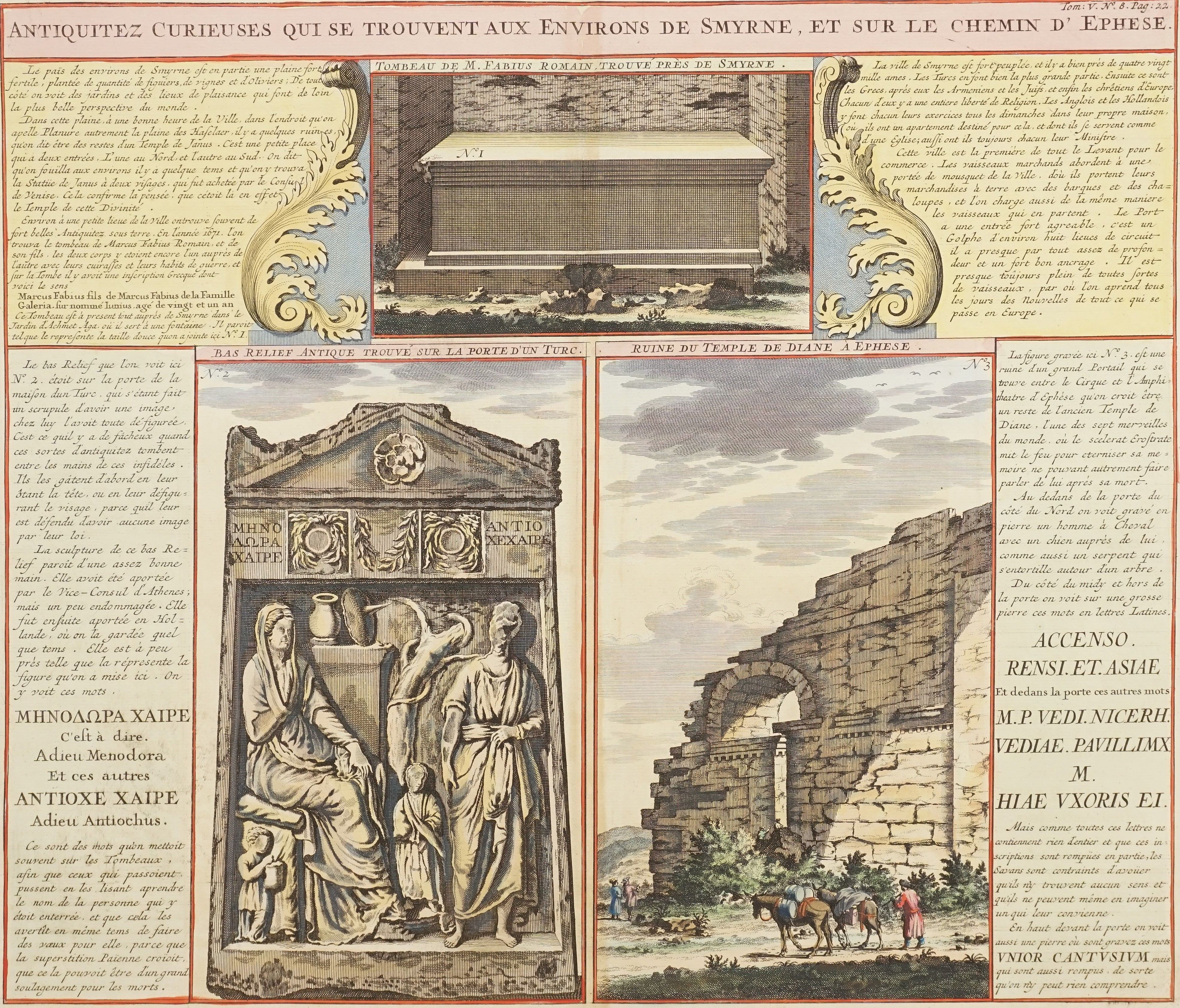
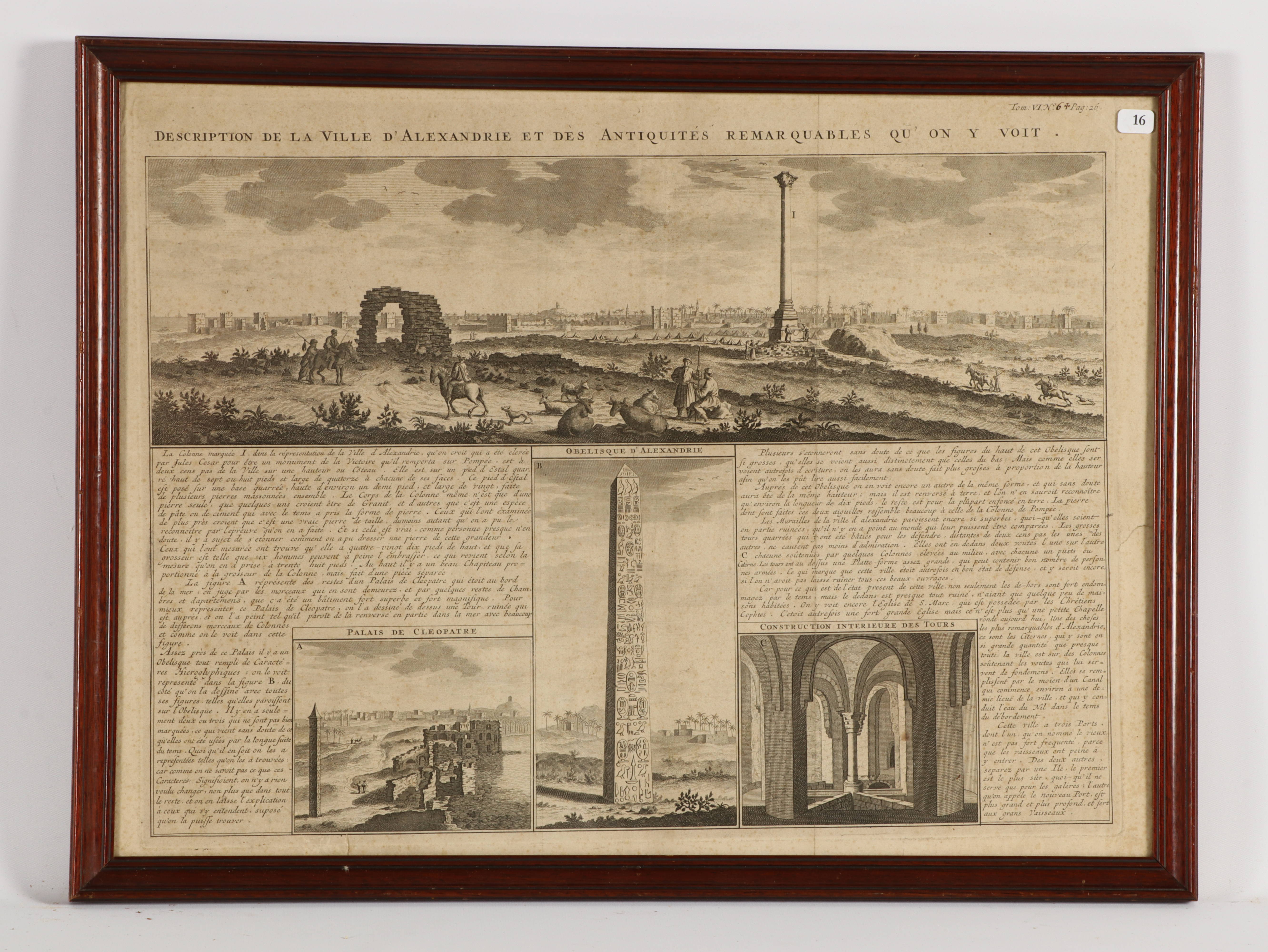
HENRI ABRAHAM CHATELAIN (1684-1743) Carte tres curieuse de la Mer du Sud, contenant des remarques nouvelles... mais aussy sur les principaux pays de l'Amerique... avec les noms & la route des voyageurs par qui la decouverte en a été faite . [Amsterdam: 1719]. Engraved map of the Pacific and Americas on four sheets, joined in pairs in two long strips, each pair of sheets 440 x 1400mm. Title set above upper margin, each pair of sheets with graticuled border, the oceans marked with the tracks of the great Spanish and Dutch navigators, Le Maire Schouten and Magellan, Olivier du Nord, lower and upper margins decorated with inset vignettes, plans of harbours and cities, portraits and explanatory texts. (Slight marks along old fold lines.) A VERY FINE EXAMPLE OF CHATELAIN'S EXTRAORDINARY MAP of the Pacific and Americas, published in his Atlas Historique of 1719. The lavish decoration, extensive texts and high quality of engraving, together with the encyclopaedic texts, create an impressive image of the Pacific Ocean. (2)
HENRI ABRAHAM CHATELAIN (1684-1743) Carte tres curieuse de la Mer du Sud, contenant des remarques nouvelles... mais aussy sur les principaux pays de l'Amerique... avec les noms & la route des voyageurs par qui la decouverte en a été faite . [Amsterdam: 1719]. Engraved map of the Pacific and Americas on four sheets, joined in pairs in two long strips, each pair of sheets 440 x 1400mm. Title set above upper margin, each pair of sheets with graticuled border, the oceans marked with the tracks of the great Spanish and Dutch navigators, Le Maire Schouten and Magellan, Olivier du Nord, lower and upper margins decorated with inset vignettes, plans of harbours and cities, portraits and explanatory texts. (Slight marks along old fold lines.) A VERY FINE EXAMPLE OF CHATELAIN'S EXTRAORDINARY MAP of the Pacific and Americas, published in his Atlas Historique of 1719. The lavish decoration, extensive texts and high quality of engraving, together with the encyclopaedic texts, create an impressive image of the Pacific Ocean. (2)


.jpg)
.jpg?w=400)
.jpg?w=400)
Testen Sie LotSearch und seine Premium-Features 7 Tage - ohne Kosten!
Lassen Sie sich automatisch über neue Objekte in kommenden Auktionen benachrichtigen.
Suchauftrag anlegen