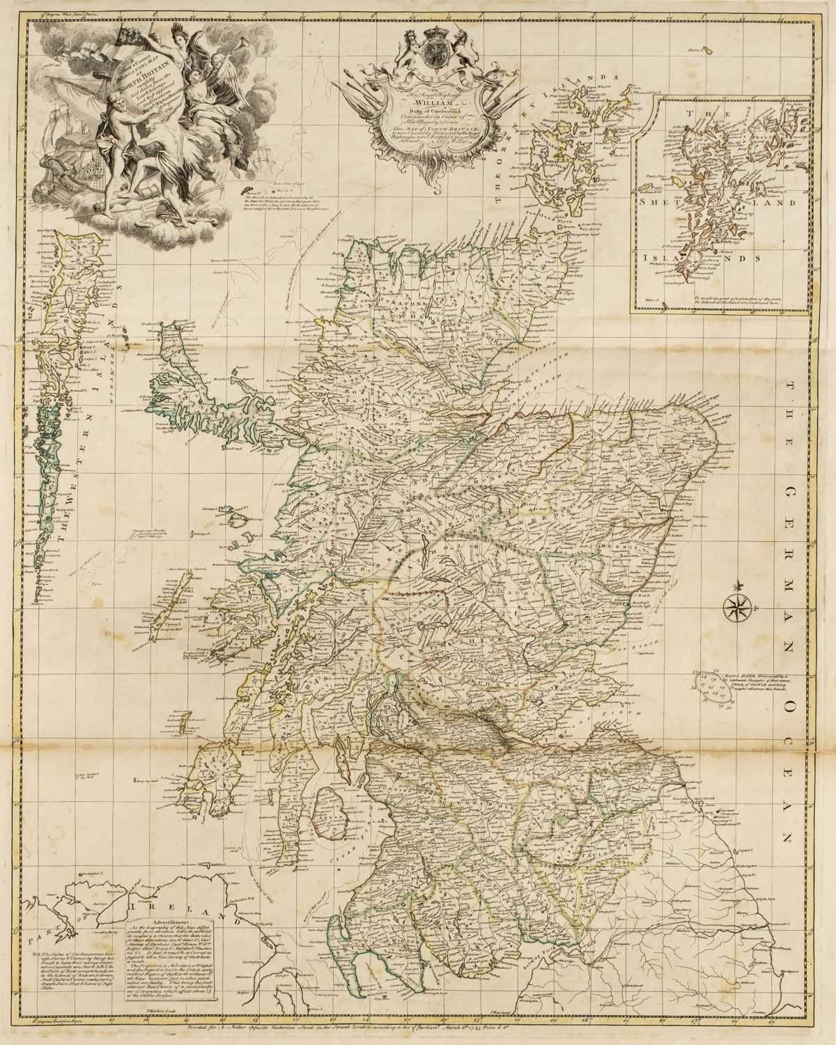
This Plan of the City of Philadelphia and its Environs, Shewing the Improved Parts, is Dedicated to the Mayor, Aldermen and Citizens thereof.
London: John & Josiah Boydell 1 January 1798. Large map engraved by John Cooke (705 x 965 mm). Printed on a single elephant folio sheet of paper watermarked “James Whatman Turkey Mill Kent 1794.” 54 numbered references. Condition : horizontal and vertical central folds reinforced on verso repairing some separations, minor chips and tears in the top margin outside the platemark, overall minor toning and surface soiling. Provenance : Martin P. Snyder. the best map of philadelphia published during its time as the capital of the united states. John Hills first began drafting maps of Philadelphia during the American Revolution as a British engineer in the 23rd Regt. Following the war, he seems to have remained in the region. He is first listed in Biddle’s 1791 directory as a “surveyor and draftsman” on Mulberry Street, but two extant manuscript maps located in the Philadelphia City Archives show him active in the city as early as 1788. In 1796 he drafted this impressive map, receiving the commendation of the sitting mayor Matthew Clarkson. To ensure the best quality of engraving and printing, Hills sent his plan to London for publication. Engraved by John Cooke, the plan was published by the Boydells at the end of 1797, though included an imprint by Hills offering the map for sale in Philadelphia (accounting for bibliographers erroneously citing the first state as an American imprint). The large size of this plan “permitted the author to name and locate each of the dozens of wharves along the Delaware and to give the details of construction then existing in every city block to, and even beyond, the Schuylkill. The topography received equally minute treatment. Even brickyards and small ponds were identified singly” (Snyder). This is the second issue of the map with the Boydell imprint below the neat line, issued very shortly after the first. Both states are very rare . Only one copy of either has appeared at auction in the last quarter century (Sotheby’s New York, 30 October 1990, lot 19). Deak 211; Phillips, p. 702; Phillips, Descriptive List of Maps and Views of Philadelphia 175 (first issue); Snyder, COI 169a (this copy illustrated as Fig. 121); Wheat & Brun 471.


.jpg)


.jpg)


Testen Sie LotSearch und seine Premium-Features 7 Tage - ohne Kosten!
Lassen Sie sich automatisch über neue Objekte in kommenden Auktionen benachrichtigen.
Suchauftrag anlegen