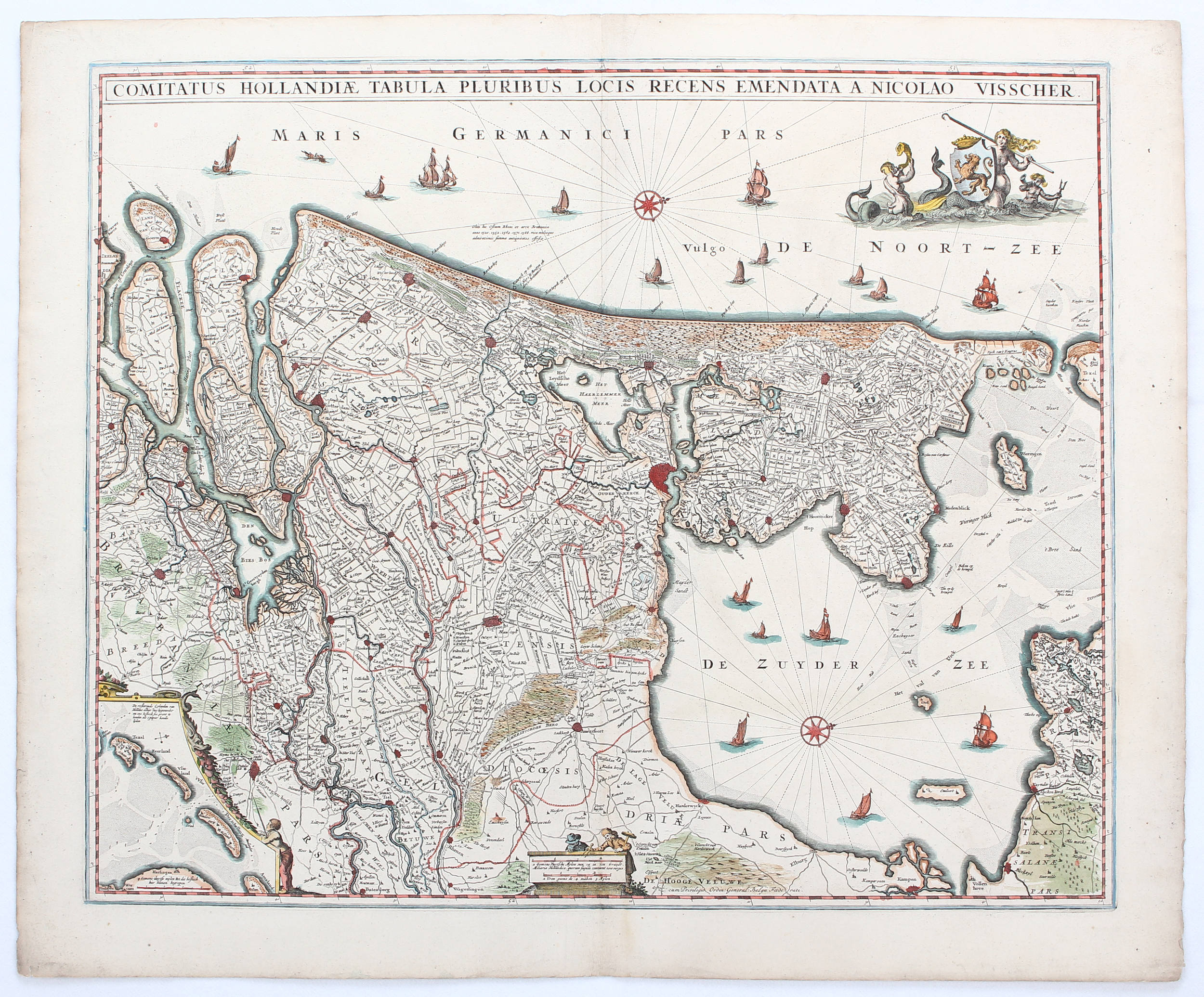
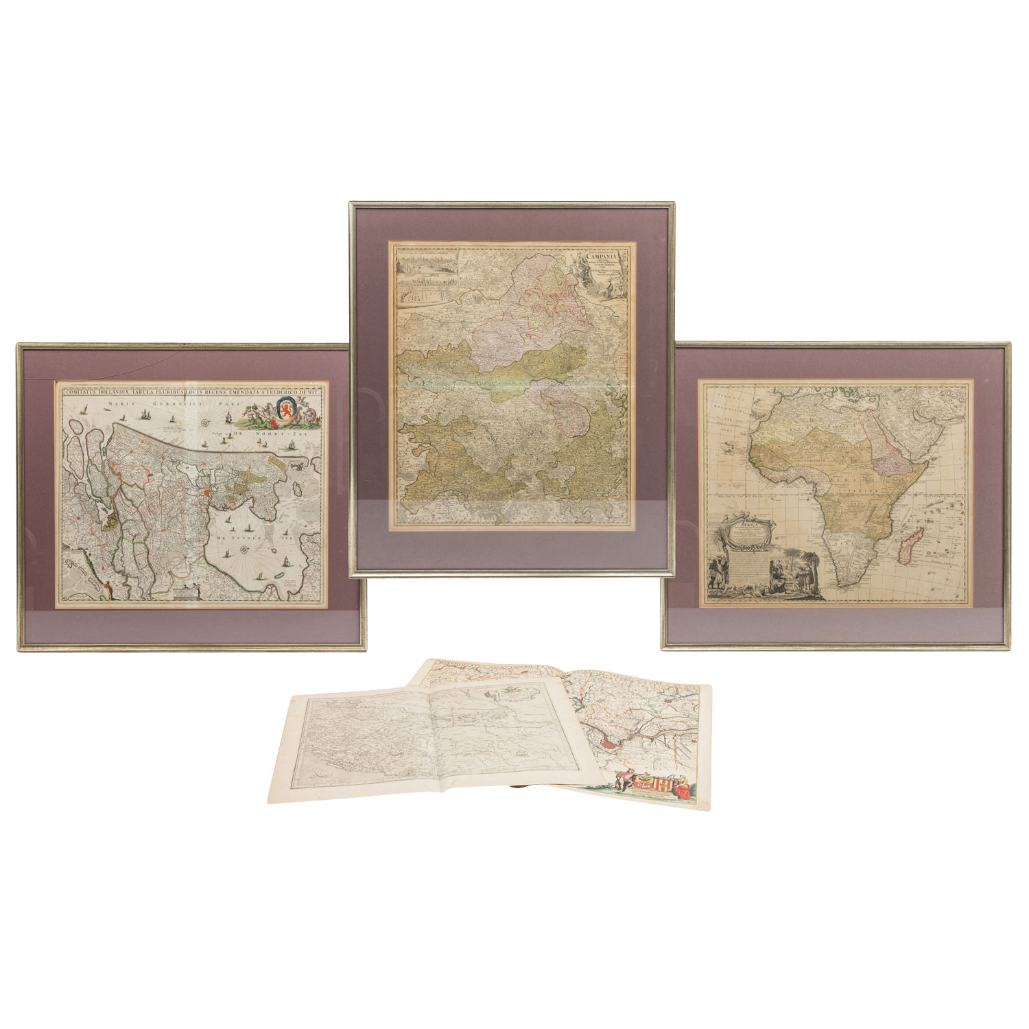
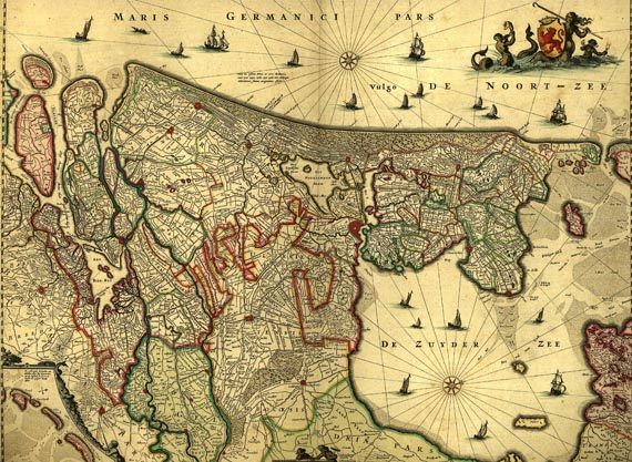
Handcol. engraved map with Latin title at top, cartouche (incorporating a coat-of-arms), 2 compass-roses & small inset map (“De resterende Eijlanden van Hollant alhier dus bijgevoecht”, ca. 10,5 x 10 cm.). Publ. by F. de Wit (Amsterdam, ca. 1670 or later). Ca. 45,5 x 55,5 cm. (image). Behind passepartout & framed (behind glass). ¶ Blonk (Hollandia Comitatus) 61.1. Koeman (Atlantes Neerlandici) III, p. 214 (no. 73). Rare first state (of 6) of an attractive large-sized map of the County of Holland published by the Dutch cartographer Frederick de Wit (1630-1706) based on a map by the Dutch cartographer Balthasar Florisz. van Berckenrode (1591-1645). – Vertical fold in the middle (as publ.), partly foxed/ browned, but nevertheless in good condition (not examined out of frame).
Handcol. engraved map with Latin title at top, cartouche (incorporating a coat-of-arms), 2 compass-roses & small inset map (“De resterende Eijlanden van Hollant alhier dus bijgevoecht”, ca. 10,5 x 10 cm.). Publ. by F. de Wit (Amsterdam, ca. 1670 or later). Ca. 45,5 x 55,5 cm. (image). Behind passepartout & framed (behind glass). ¶ Blonk (Hollandia Comitatus) 61.1. Koeman (Atlantes Neerlandici) III, p. 214 (no. 73). Rare first state (of 6) of an attractive large-sized map of the County of Holland published by the Dutch cartographer Frederick de Wit (1630-1706) based on a map by the Dutch cartographer Balthasar Florisz. van Berckenrode (1591-1645). – Vertical fold in the middle (as publ.), partly foxed/ browned, but nevertheless in good condition (not examined out of frame).


Testen Sie LotSearch und seine Premium-Features 7 Tage - ohne Kosten!
Lassen Sie sich automatisch über neue Objekte in kommenden Auktionen benachrichtigen.
Suchauftrag anlegen