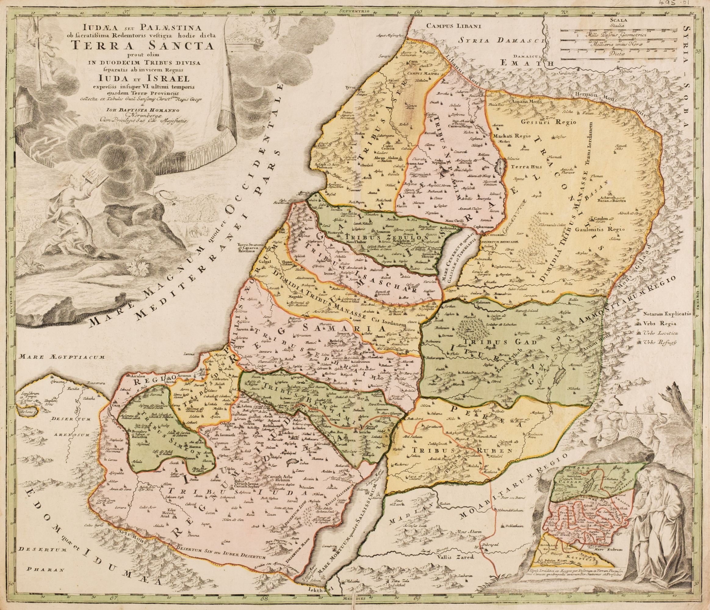
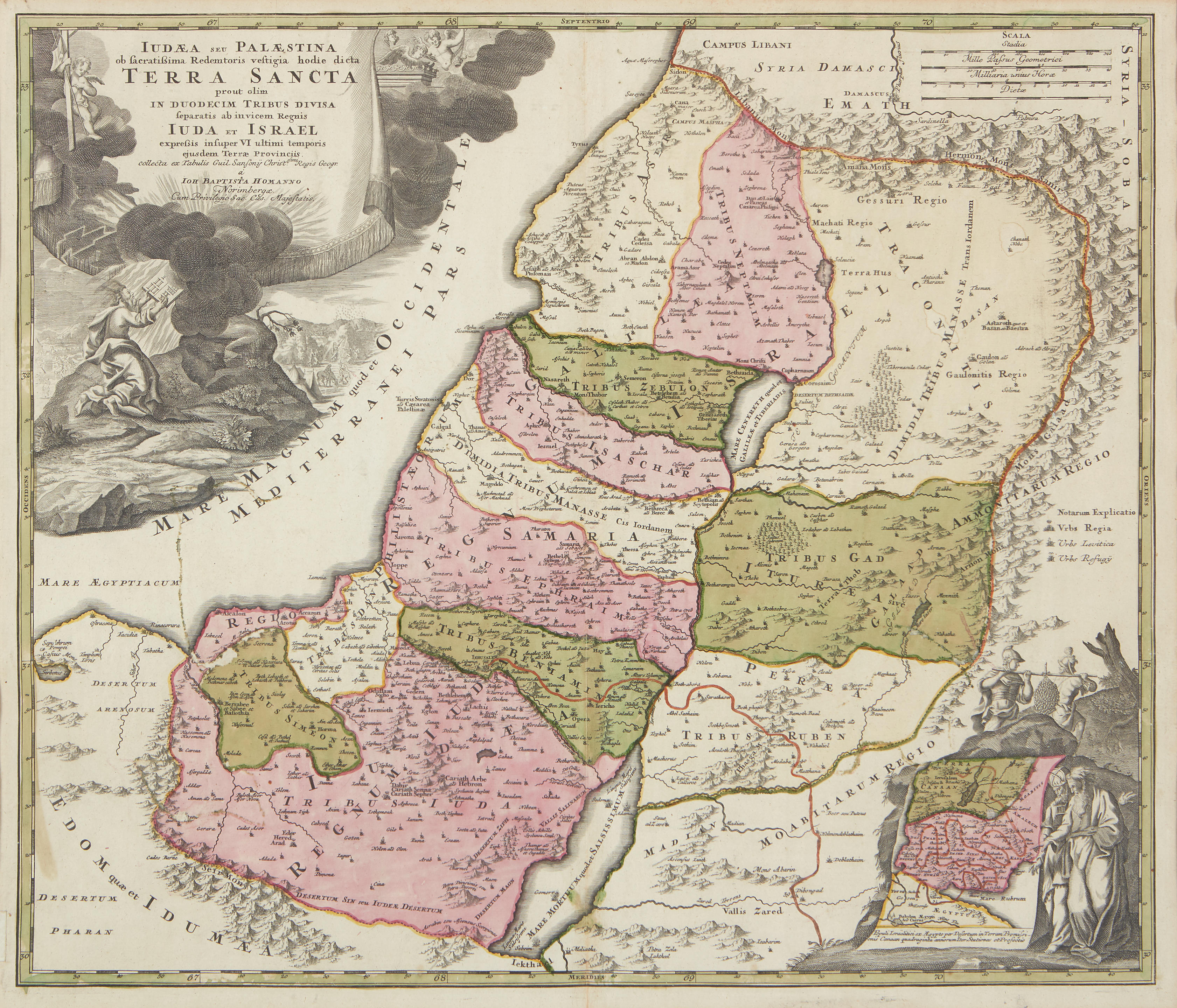
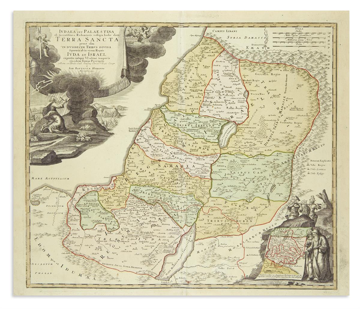
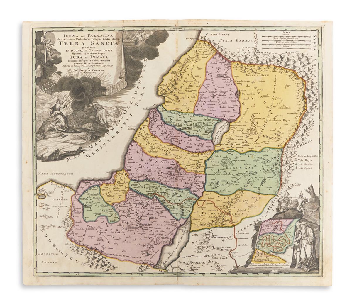
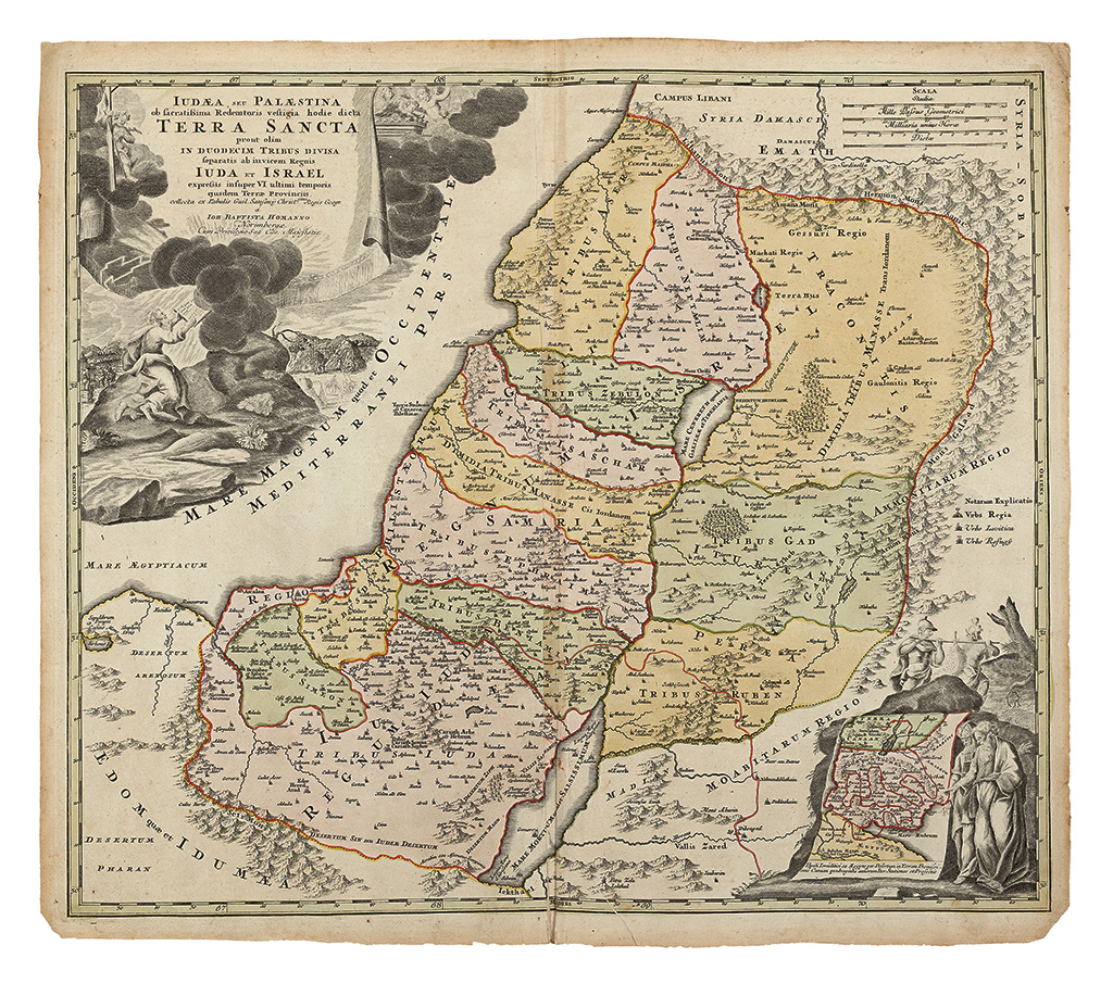
Holy Land. Homann (Johann Baptist), Judaea seu Palaestina ob Sacratissima Redemtoris Vestigia hodie dicta Terra Sancta prout olim in Duodecim Tribus Divisa Separatis ab Invicam Regnis Juda et Israel...., pub. Nuremberg, [1707 or later], engraved map with contemp. hand colouring, large b & w cartouche, inset map of the route followed by the Israelites, some creasing, slight toning, 500 x 575mm, together with, Hollar (Wenceslaus), Chorographica Terrae Sanctae Descriptio, 1657, three hand coloured maps on one sheet (as published), and an inset plan of the Israelites camp in the desert, compass rose and numerous rhumb lines, 375 x 500mm. E.Laor. Maps of the Holy Land, nos. 340 & 339 respectively. (2)
Holy Land. Homann (Johann Baptist), Judaea seu Palaestina ob Sacratissima Redemtoris Vestigia hodie dicta Terra Sancta prout olim in Duodecim Tribus Divisa Separatis ab Invicam Regnis Juda et Israel...., pub. Nuremberg, [1707 or later], engraved map with contemp. hand colouring, large b & w cartouche, inset map of the route followed by the Israelites, some creasing, slight toning, 500 x 575mm, together with, Hollar (Wenceslaus), Chorographica Terrae Sanctae Descriptio, 1657, three hand coloured maps on one sheet (as published), and an inset plan of the Israelites camp in the desert, compass rose and numerous rhumb lines, 375 x 500mm. E.Laor. Maps of the Holy Land, nos. 340 & 339 respectively. (2)







Testen Sie LotSearch und seine Premium-Features 7 Tage - ohne Kosten!
Lassen Sie sich automatisch über neue Objekte in kommenden Auktionen benachrichtigen.
Suchauftrag anlegen