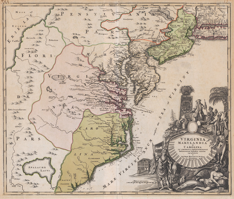
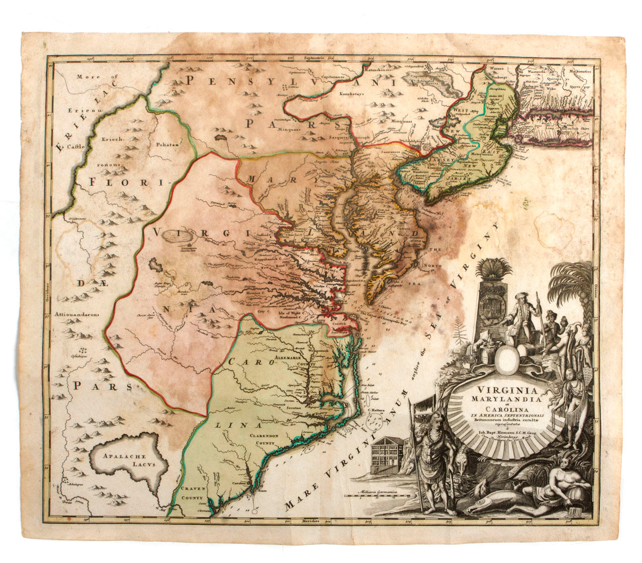
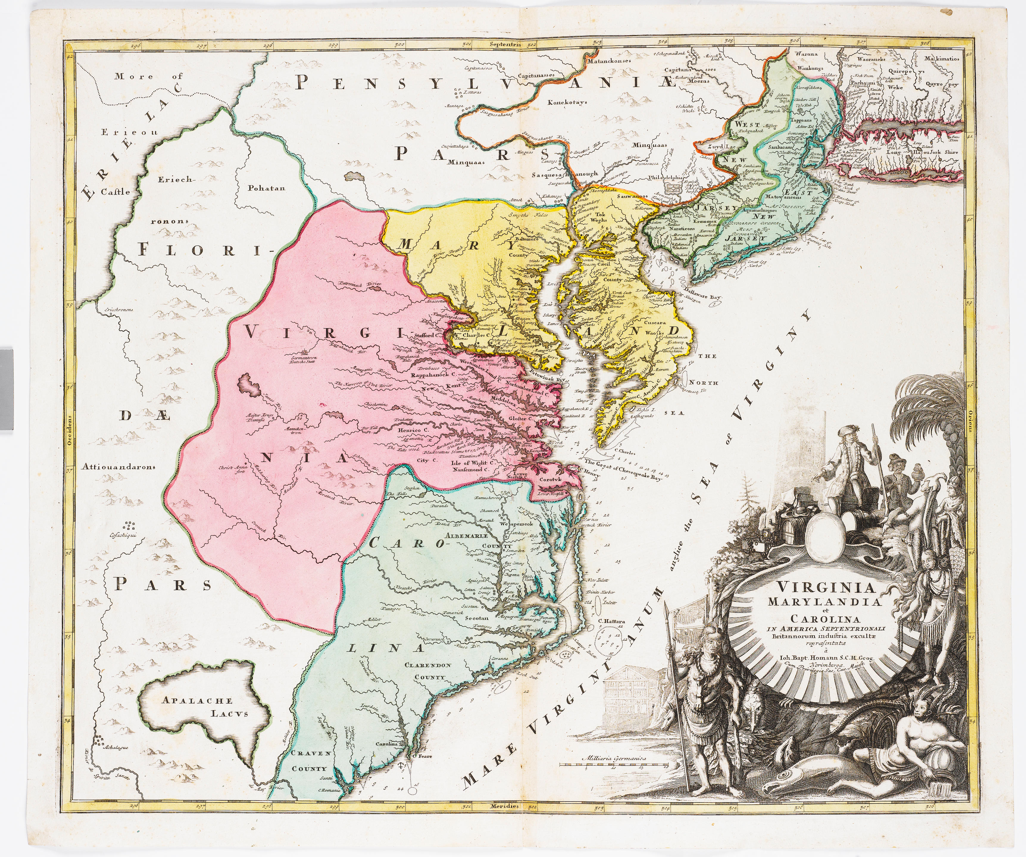
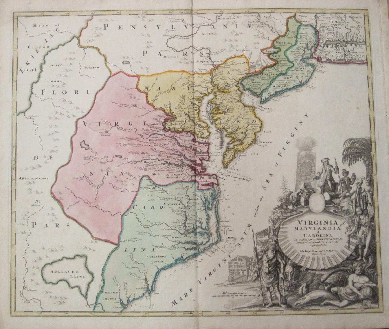
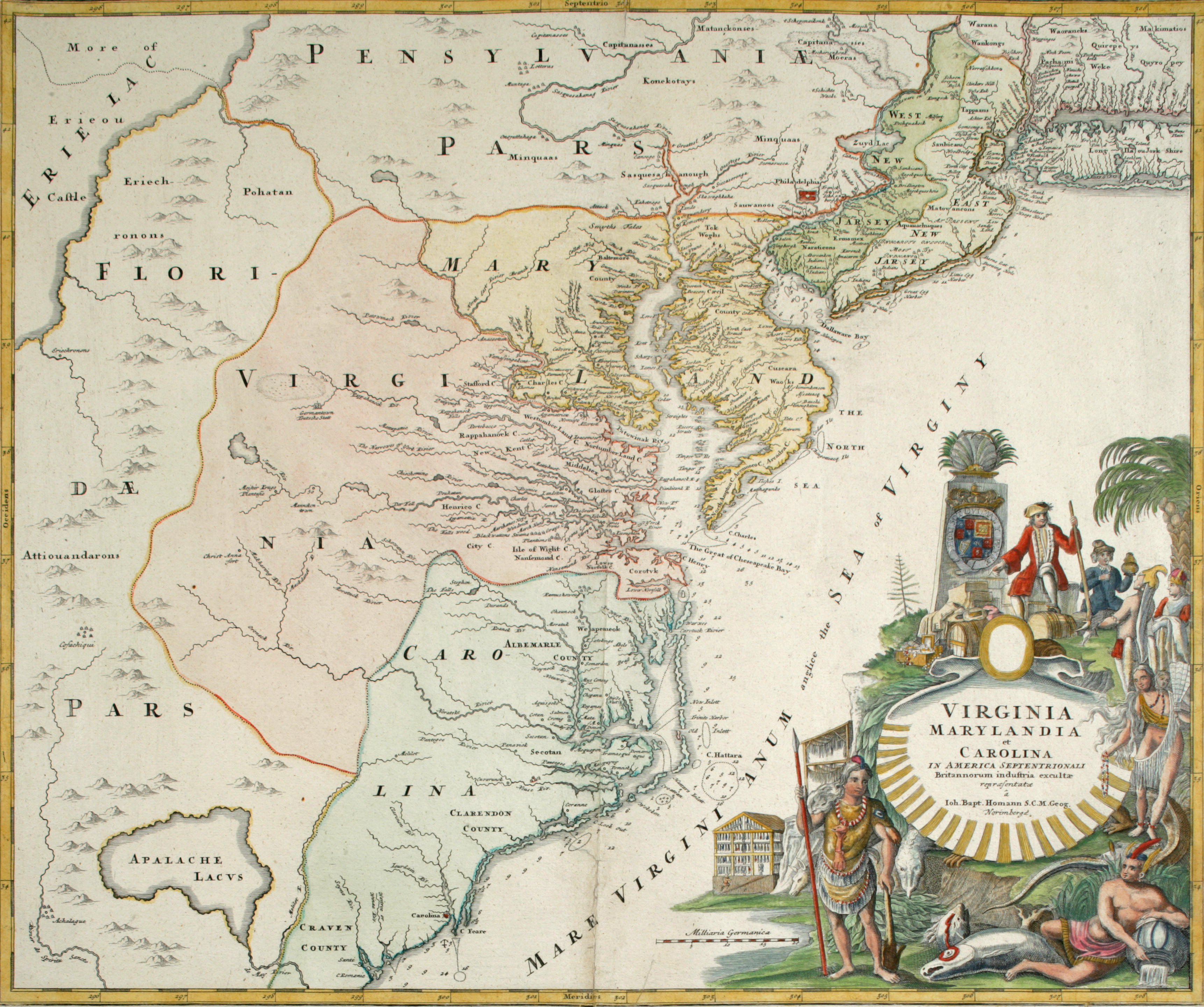
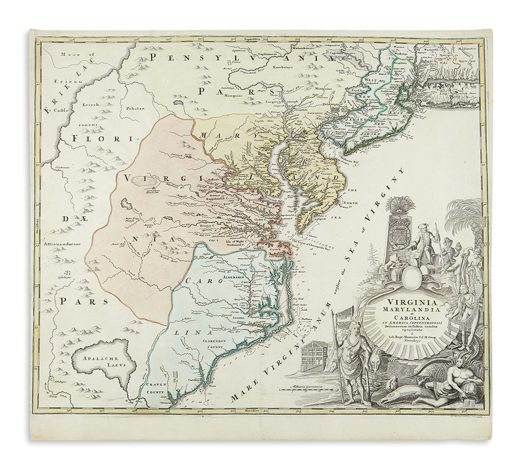
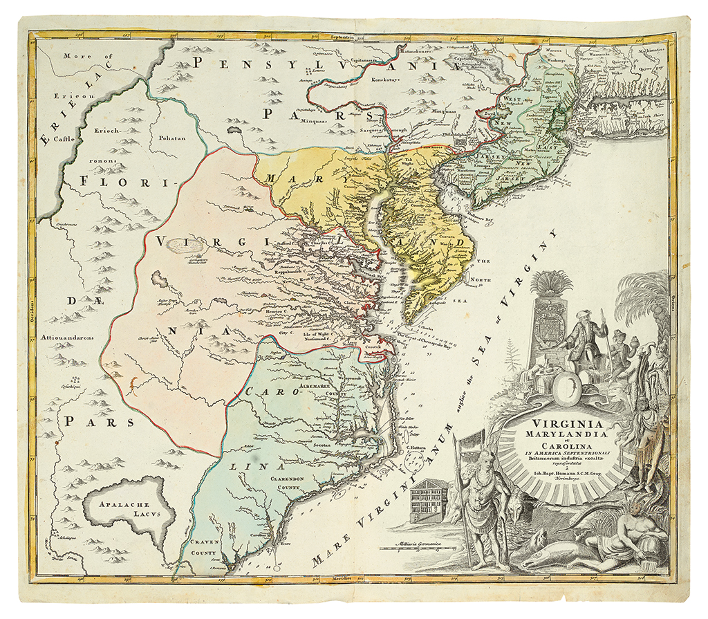
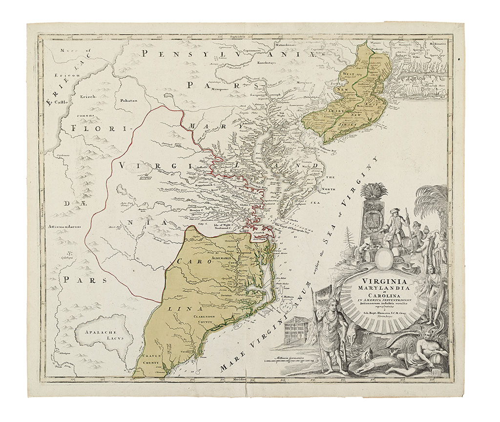
HOMANN, Johann Baptist (1663-1724). Virginia Marylandia et Carolina in America Septentrionali . Nuremberg, [1714].
HOMANN, Johann Baptist (1663-1724). Virginia Marylandia et Carolina in America Septentrionali . Nuremberg, [1714]. Hand-colored engraved map, 490 x 580 mm platemark (524 x 583 mm sheet). (Some glue/guard residue on verso slightly showing through.) A fine copy of this map, first state, without the line "Cum Privilegio Sac. Caes. Majest" beneath "Norimbergae" which Cummings indicates is later. The large uncolored cartouche in the lower right depicts American Indians with white traders. Philadelphia is depicted just north of the 40th parallel several miles inland from the Delaware River. This situation became a source of debate when it became obvious that Philadelphia was inside Maryland's original 40th parallel grant. The western portion of the map shows Florida extending north to the Great Lakes. This map is the first to show the new settlement of Germantown Teutsche Statt, centerpiece of then Governor Spotswood's plan to settle German immigrants in Virginia. Christanna Fort, another of Spotswood's directives, is on the map as well. Christanna became headquarters of the Virginia Indian Company, which regulated trade between the Indians and the Virginians. Cumming 156; On The Map , fig. 27; Pritchard & Taliaferro Degrees of Latitude pp. 106-109.



Testen Sie LotSearch und seine Premium-Features 7 Tage - ohne Kosten!
Lassen Sie sich automatisch über neue Objekte in kommenden Auktionen benachrichtigen.
Suchauftrag anlegen