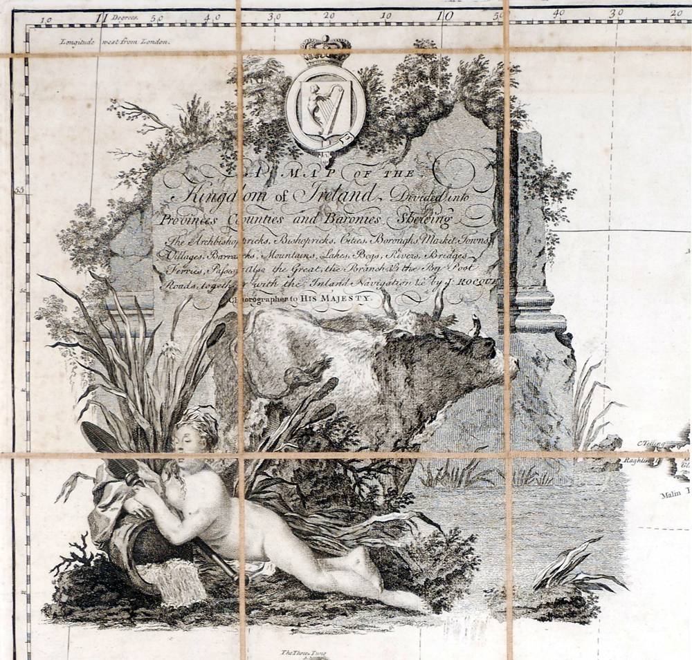
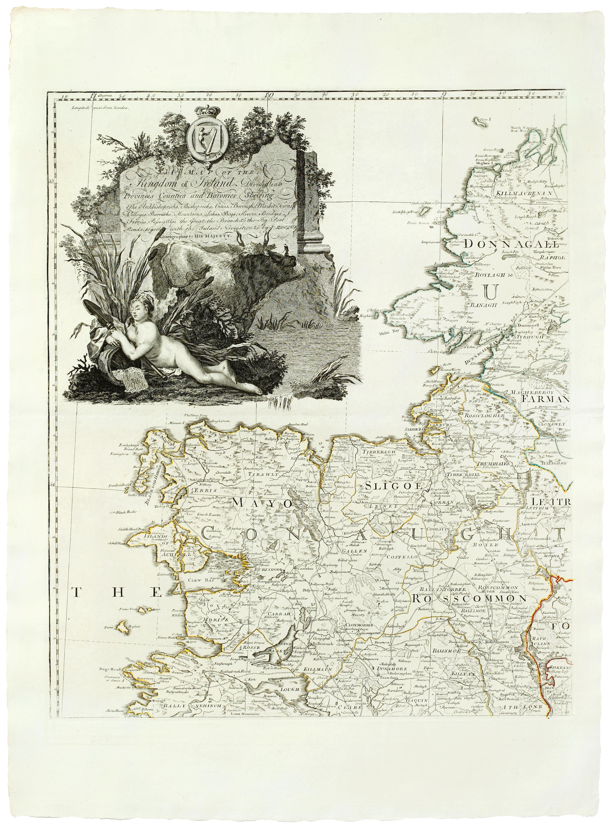
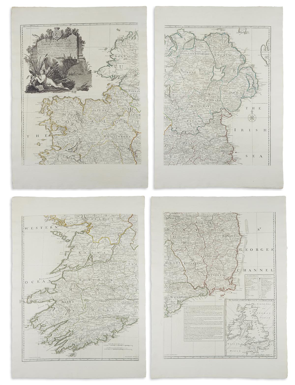
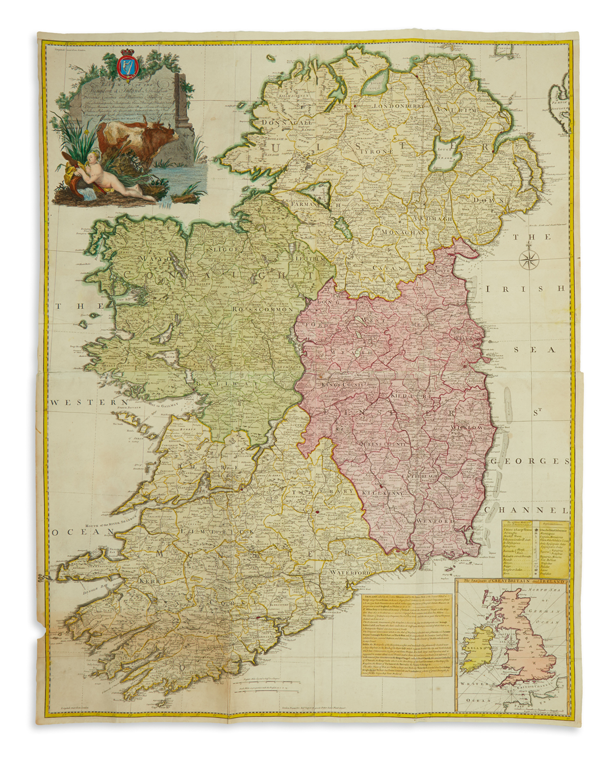
Ireland. Rocque (John), A Map of the Kingdom of Ireland..., Robert Sayer circa 1773, large engraved map with contemporary outline colouring, four sheets conjoined into two pairs, uncoloured decorative cartouche, inset map of 'The Sea Coasts of Great Britain and Ireland', old folds, very occ. small marginal closed tears, slight staining and offsetting, overall size 1245 x 975 mm, together with Weller (Edward). Ireland, circa 1890, large colour lithographic map, old folds, 830 x 640 mm, with Society for the Diffusion of Useful Knowledge (publishers). Dublin & The Environs of London, circa 1860, two engraved maps with contemporary outline colouring, each with a blind stamp to the lower-left corner, each approximately 320 x 405 mm, plus Kitchin (Thomas). The Province of Leinster, one of the four into which Ireland is Divided by Geographers, circa 1760, hand-coloured engraved map, originally published in 'The London Magazine', old folds, 235 x 175 mm, with Arbuckle Bros. Coffee Co. (publishers). Untitled decorative map of Ireland, circa 1900, chromolithograph showing a map of Ireland and a view of Innisfallen in Killarney with promotional/advertising text to the verso, 75 x 125 mm
Ireland. Rocque (John), A Map of the Kingdom of Ireland..., Robert Sayer circa 1773, large engraved map with contemporary outline colouring, four sheets conjoined into two pairs, uncoloured decorative cartouche, inset map of 'The Sea Coasts of Great Britain and Ireland', old folds, very occ. small marginal closed tears, slight staining and offsetting, overall size 1245 x 975 mm, together with Weller (Edward). Ireland, circa 1890, large colour lithographic map, old folds, 830 x 640 mm, with Society for the Diffusion of Useful Knowledge (publishers). Dublin & The Environs of London, circa 1860, two engraved maps with contemporary outline colouring, each with a blind stamp to the lower-left corner, each approximately 320 x 405 mm, plus Kitchin (Thomas). The Province of Leinster, one of the four into which Ireland is Divided by Geographers, circa 1760, hand-coloured engraved map, originally published in 'The London Magazine', old folds, 235 x 175 mm, with Arbuckle Bros. Coffee Co. (publishers). Untitled decorative map of Ireland, circa 1900, chromolithograph showing a map of Ireland and a view of Innisfallen in Killarney with promotional/advertising text to the verso, 75 x 125 mm







Testen Sie LotSearch und seine Premium-Features 7 Tage - ohne Kosten!
Lassen Sie sich automatisch über neue Objekte in kommenden Auktionen benachrichtigen.
Suchauftrag anlegen