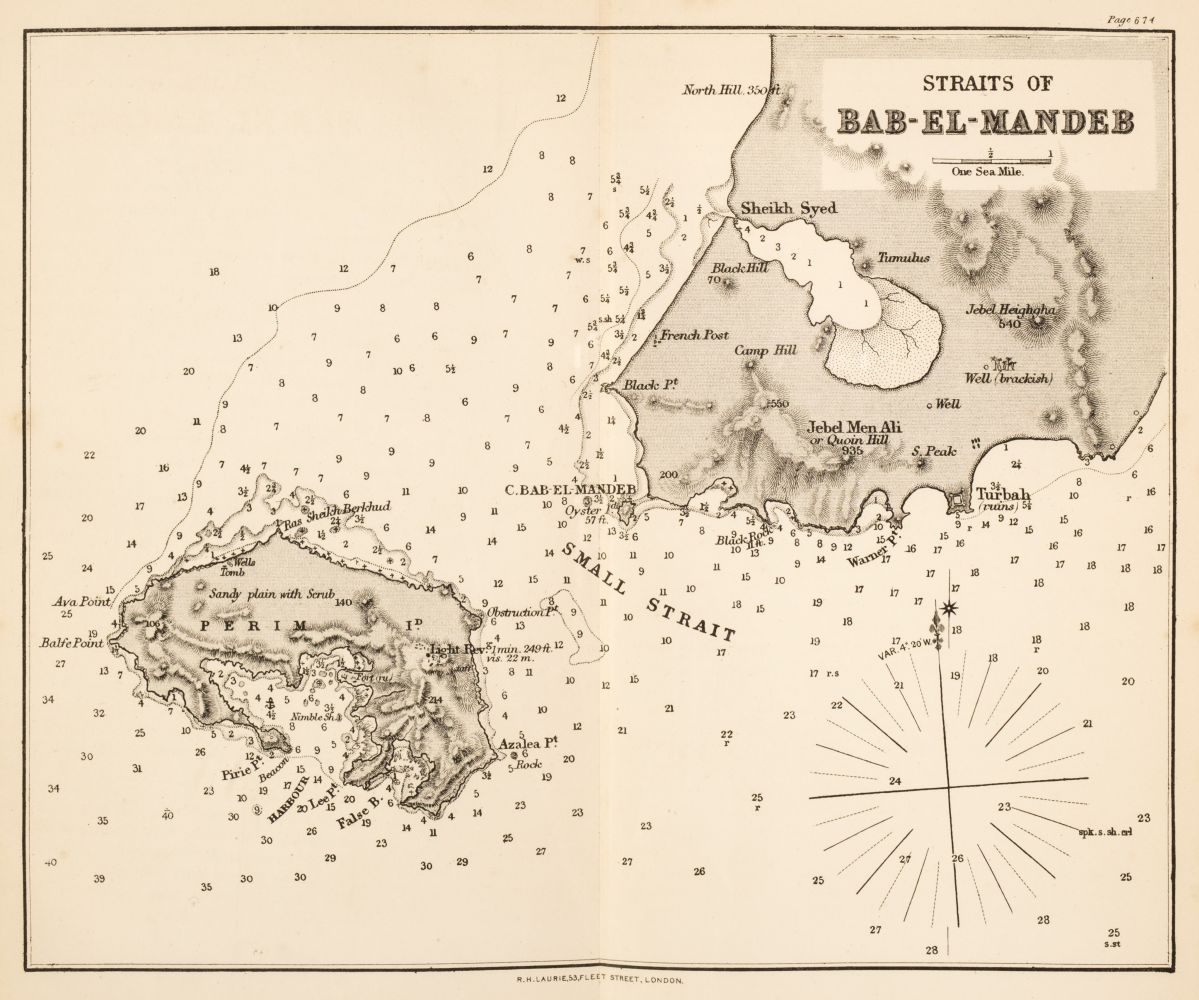
ISLANDS OF THE INDIAN OCEAN - A collection of 18th-century charts of islands and archipelagos in the Indian Ocean, drawn up from French surveys, comprising 8 double-page and 7 single-page engraved charts, (555 x 805mm and 555 x 403mm) of islands in the Indian Ocean, covering the coasts, bays and ports of Madagascar, the islands of Patte, Querimbo, Oybo, Matemo, the archipelago to the north east of Madagascar, the east coast of Africa, and the Seychelles archipelago, all French surveys of the latter half of the 18th century; one chart with 19th-century manuscript additions. The collection includes 8 charts from the second, expanded edition of Jean-Baptiste Nicolas Denis d'Après de Mannevillette's Le Neptune Oriental ou routier general des côtes des Indes Orientales et de la Chine... published in Paris in 1775 (NMM 3, 204/33-39, 43). (One chart with marginal tear, occasional light and unobtrusive dampstains.) (15)
ISLANDS OF THE INDIAN OCEAN - A collection of 18th-century charts of islands and archipelagos in the Indian Ocean, drawn up from French surveys, comprising 8 double-page and 7 single-page engraved charts, (555 x 805mm and 555 x 403mm) of islands in the Indian Ocean, covering the coasts, bays and ports of Madagascar, the islands of Patte, Querimbo, Oybo, Matemo, the archipelago to the north east of Madagascar, the east coast of Africa, and the Seychelles archipelago, all French surveys of the latter half of the 18th century; one chart with 19th-century manuscript additions. The collection includes 8 charts from the second, expanded edition of Jean-Baptiste Nicolas Denis d'Après de Mannevillette's Le Neptune Oriental ou routier general des côtes des Indes Orientales et de la Chine... published in Paris in 1775 (NMM 3, 204/33-39, 43). (One chart with marginal tear, occasional light and unobtrusive dampstains.) (15)
.jpg)
.jpg)
.jpg)


Testen Sie LotSearch und seine Premium-Features 7 Tage - ohne Kosten!
Lassen Sie sich automatisch über neue Objekte in kommenden Auktionen benachrichtigen.
Suchauftrag anlegen