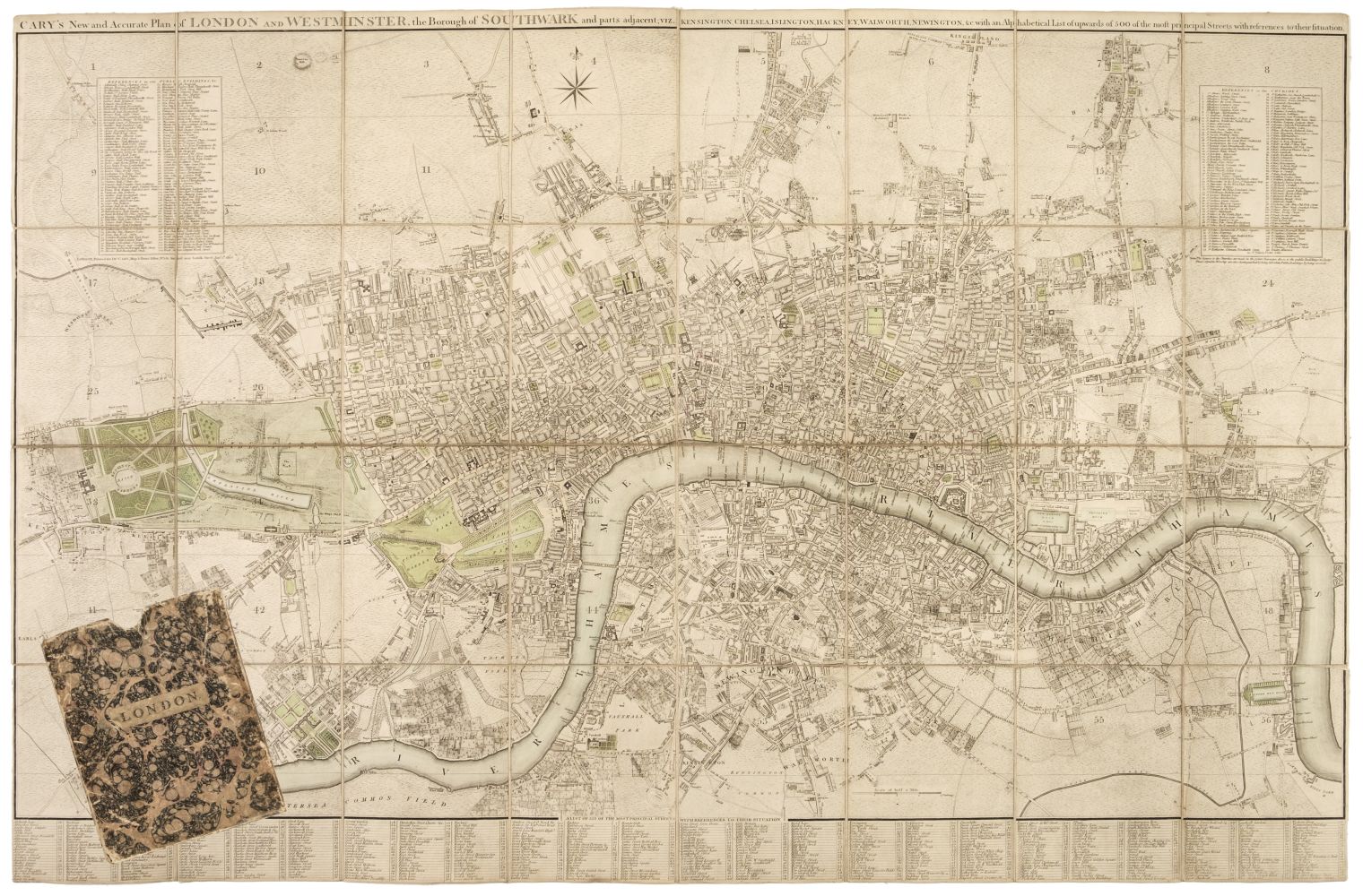
London. Cary (John), Cary's New and Accurate Plan of London and Westminster, the Borough of Southwark and parts adjacent: viz. Kensington, Chelsea, Islington, Hackney, Walworth, Newington &c with an Alphabetical list of upwards of 500 of the most principal streets with references to their situation, and Plans of the New London & East & West India Docks, 1816, engraved map with contemporary wash colouring, sectionalised and laid on linen, with a list of over 500 of the principal streets printed below the map, three inset tables of reference to churches, parishes and public buildings, a printed list of streets and their altitude above sea level pasted to the right-hand margin, bookplate of Alexander Boetefeur pasted to the upper right corner, two faint manuscript circles in upper right corner, slight staining, marbled endpapers, 800 x 1485 mm, contained in a contemporary marbled card slipcase with printed label to upper board, slipcase heavily worn and frayed (Quantity: 1) James Howego. The Printed Maps of London, no.184, state 14 (of 20).
London. Cary (John), Cary's New and Accurate Plan of London and Westminster, the Borough of Southwark and parts adjacent: viz. Kensington, Chelsea, Islington, Hackney, Walworth, Newington &c with an Alphabetical list of upwards of 500 of the most principal streets with references to their situation, and Plans of the New London & East & West India Docks, 1816, engraved map with contemporary wash colouring, sectionalised and laid on linen, with a list of over 500 of the principal streets printed below the map, three inset tables of reference to churches, parishes and public buildings, a printed list of streets and their altitude above sea level pasted to the right-hand margin, bookplate of Alexander Boetefeur pasted to the upper right corner, two faint manuscript circles in upper right corner, slight staining, marbled endpapers, 800 x 1485 mm, contained in a contemporary marbled card slipcase with printed label to upper board, slipcase heavily worn and frayed (Quantity: 1) James Howego. The Printed Maps of London, no.184, state 14 (of 20).


Testen Sie LotSearch und seine Premium-Features 7 Tage - ohne Kosten!
Lassen Sie sich automatisch über neue Objekte in kommenden Auktionen benachrichtigen.
Suchauftrag anlegen