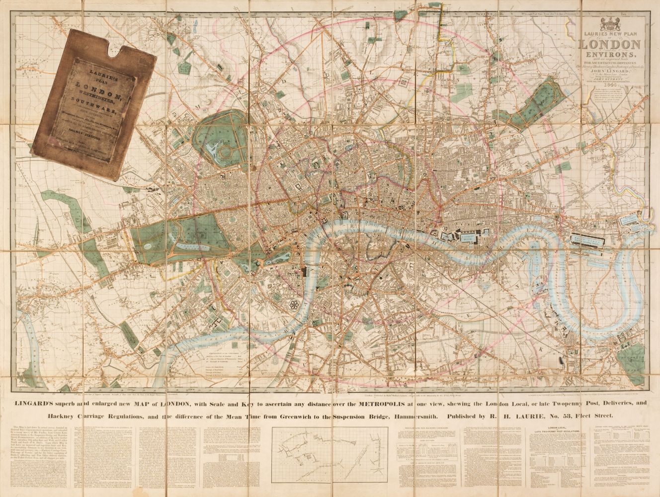
London. Laurie (Richard Holmes, publisher), Laurie's New Plan of London and its Environs, with an Improved Scale for Ascertaining Distances..., by John Lingard No. 3 Maria Lane, London, being an Original Survey by John Outhett, with all the recent Improvements, 1846, engraved map with contemporary outline colouring, sectionalised and laid on linen, new title pasted over old printing, additional title - "Lingard's Superb and Enlarged New Map of London with Scale and Key to ascertain any Distance over the Metropolis...," and explanatory text below the map, very slight staining, cloth endpapers, 820 x 1090 mm, contained in a contemporary cloth slipcase with a printed label to upper cover, worn and a little bumped, together with three mid-19th century Ordnance Survey maps of Staffordshire, Nottinghamshire and South Yorkshire, two with contemporary outline colouring, all contained in contemporary morocco slipcases and bindings, various sizes, good condition The first described item. James Howgego. Printed Maps of London, no. 361, state 7.
London. Laurie (Richard Holmes, publisher), Laurie's New Plan of London and its Environs, with an Improved Scale for Ascertaining Distances..., by John Lingard No. 3 Maria Lane, London, being an Original Survey by John Outhett, with all the recent Improvements, 1846, engraved map with contemporary outline colouring, sectionalised and laid on linen, new title pasted over old printing, additional title - "Lingard's Superb and Enlarged New Map of London with Scale and Key to ascertain any Distance over the Metropolis...," and explanatory text below the map, very slight staining, cloth endpapers, 820 x 1090 mm, contained in a contemporary cloth slipcase with a printed label to upper cover, worn and a little bumped, together with three mid-19th century Ordnance Survey maps of Staffordshire, Nottinghamshire and South Yorkshire, two with contemporary outline colouring, all contained in contemporary morocco slipcases and bindings, various sizes, good condition The first described item. James Howgego. Printed Maps of London, no. 361, state 7.


.jpg)

.jpg)


.jpg)
.jpg)


Testen Sie LotSearch und seine Premium-Features 7 Tage - ohne Kosten!
Lassen Sie sich automatisch über neue Objekte in kommenden Auktionen benachrichtigen.
Suchauftrag anlegen