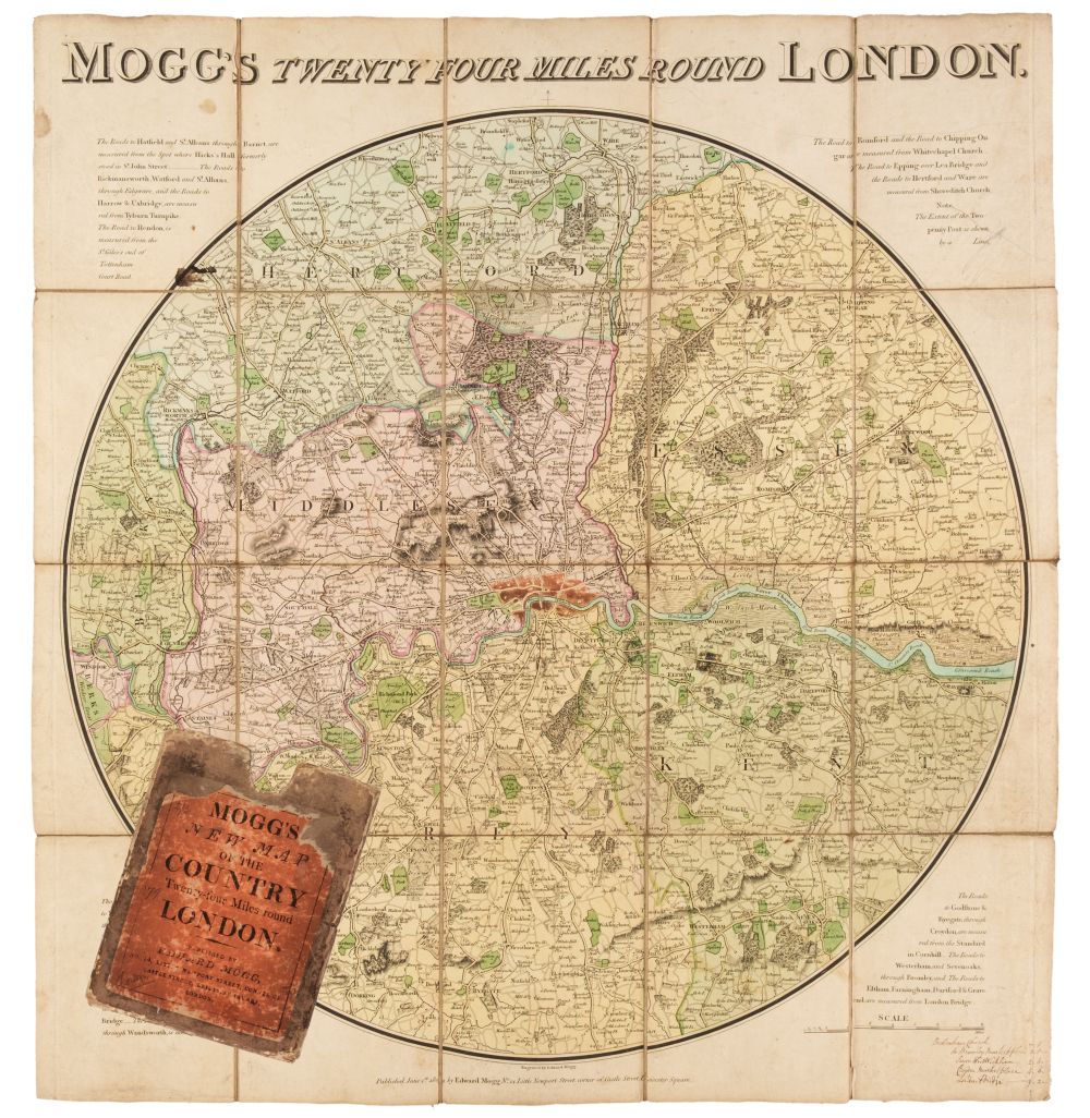
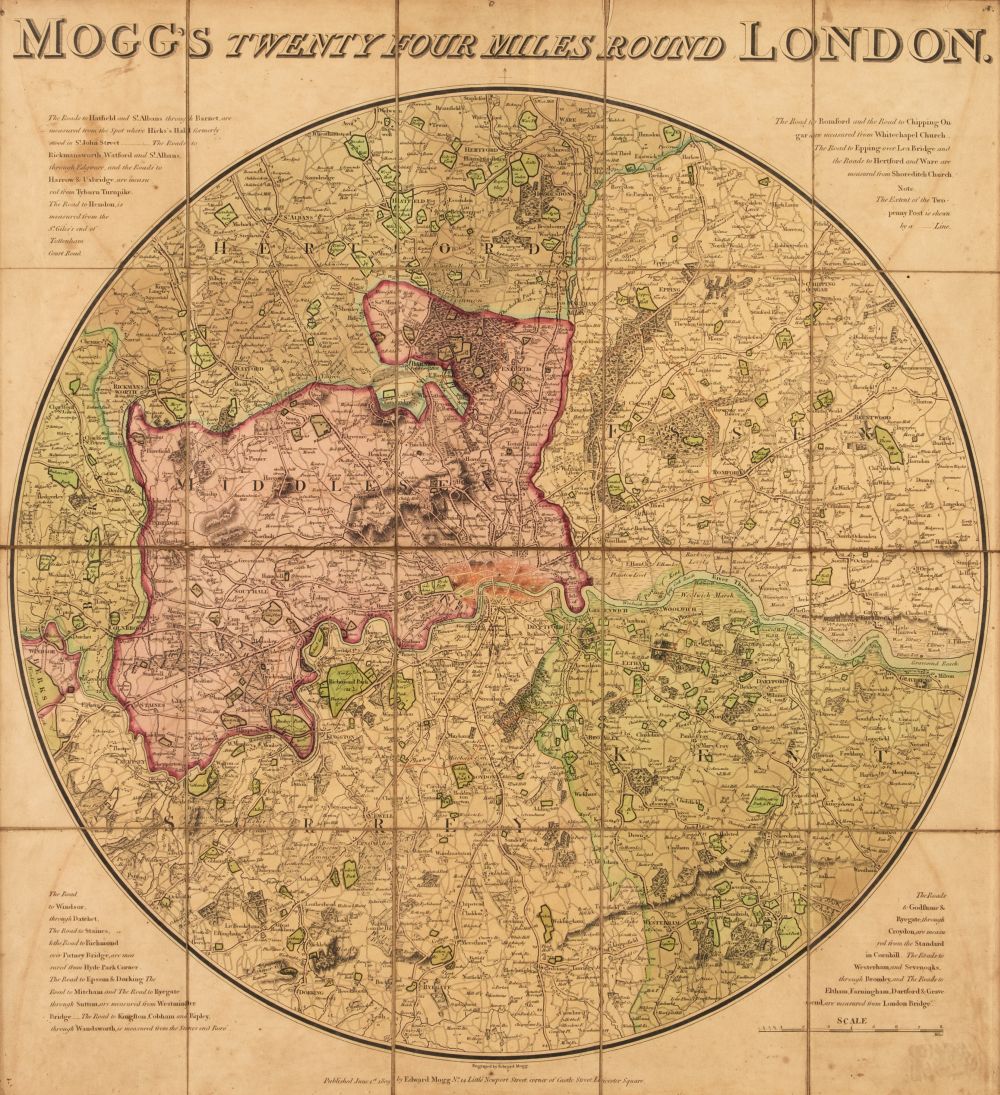
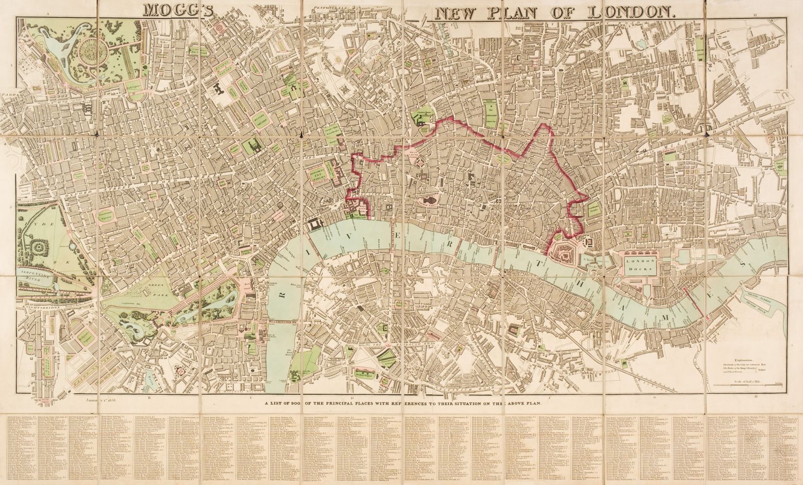
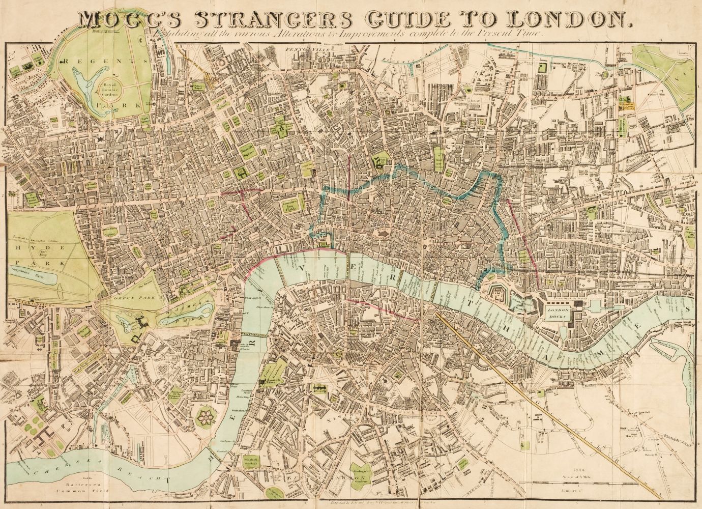
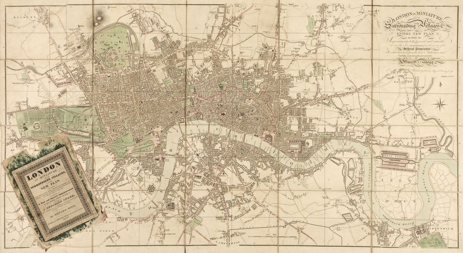
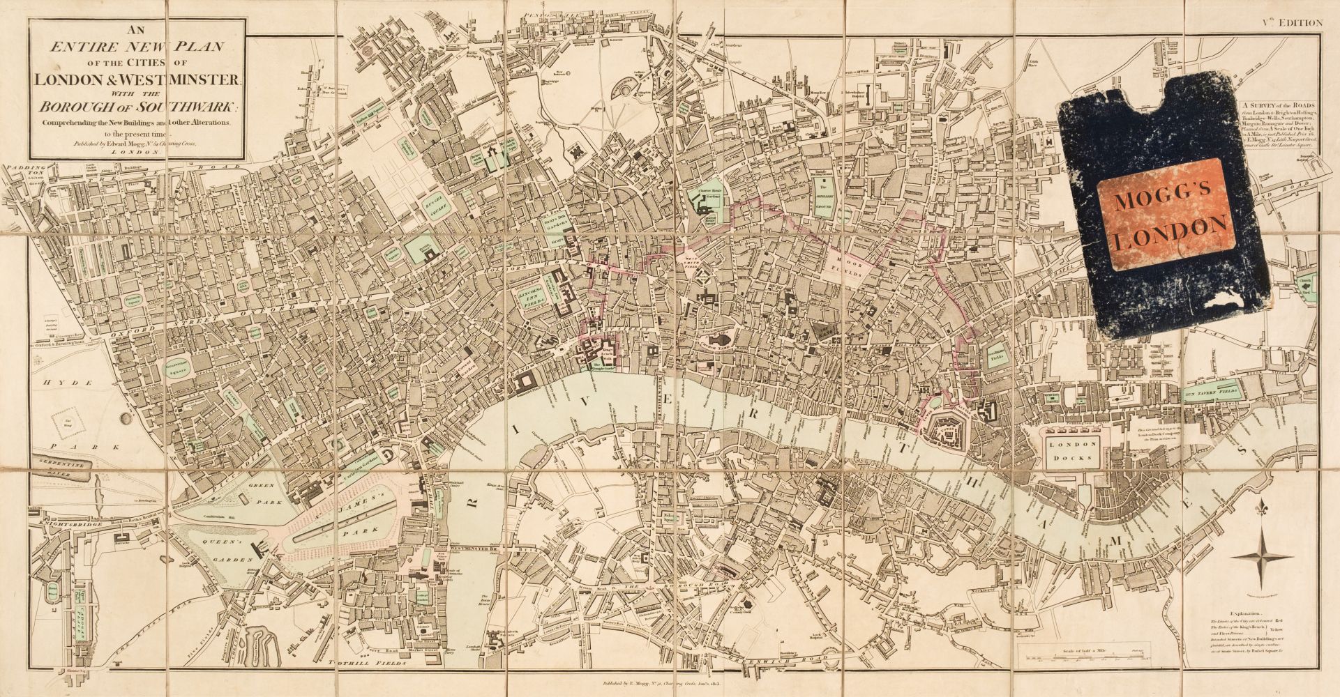
London. Mogg (Edward), Mogg's Strangers Guide to London, exhibiting all the various alterations & improvements complete to the present time, January 1st. 1837, engraved map with contemporary outline colouring, sectionalised and laid on linen, with 'A List of 500 of the Principal Places with References to their Situation on the Above Plan' below the map, very slight dust soiling, 500 x 570 mm, card endpapers with a contemporary manuscript ownership inscription, contained in a later card slipcase with a contemporary label to the upper cover, together with Cruchley (George Frederick). Cruchley's New Plan of London Shewing All the New and Intended Improvements to the Present Time, 1830, engraved map with contemporary outline colouring, sectionalised and laid on linen, table of references to both vertical margins and the lower horizontal margin, marbled endpapers, one with a publisher's advertisement, 425 x 595 mm, contained in a contemporary marbled card slipcase with a publisher's yellow printed label to the upper cover, slipcase worn (Quantity: 2) The first described item. J. Howgego. The Printed Maps of London, number 238, state 9. The second item, number 307, state 4.
London. Mogg (Edward), Mogg's Strangers Guide to London, exhibiting all the various alterations & improvements complete to the present time, January 1st. 1837, engraved map with contemporary outline colouring, sectionalised and laid on linen, with 'A List of 500 of the Principal Places with References to their Situation on the Above Plan' below the map, very slight dust soiling, 500 x 570 mm, card endpapers with a contemporary manuscript ownership inscription, contained in a later card slipcase with a contemporary label to the upper cover, together with Cruchley (George Frederick). Cruchley's New Plan of London Shewing All the New and Intended Improvements to the Present Time, 1830, engraved map with contemporary outline colouring, sectionalised and laid on linen, table of references to both vertical margins and the lower horizontal margin, marbled endpapers, one with a publisher's advertisement, 425 x 595 mm, contained in a contemporary marbled card slipcase with a publisher's yellow printed label to the upper cover, slipcase worn (Quantity: 2) The first described item. J. Howgego. The Printed Maps of London, number 238, state 9. The second item, number 307, state 4.




Testen Sie LotSearch und seine Premium-Features 7 Tage - ohne Kosten!
Lassen Sie sich automatisch über neue Objekte in kommenden Auktionen benachrichtigen.
Suchauftrag anlegen