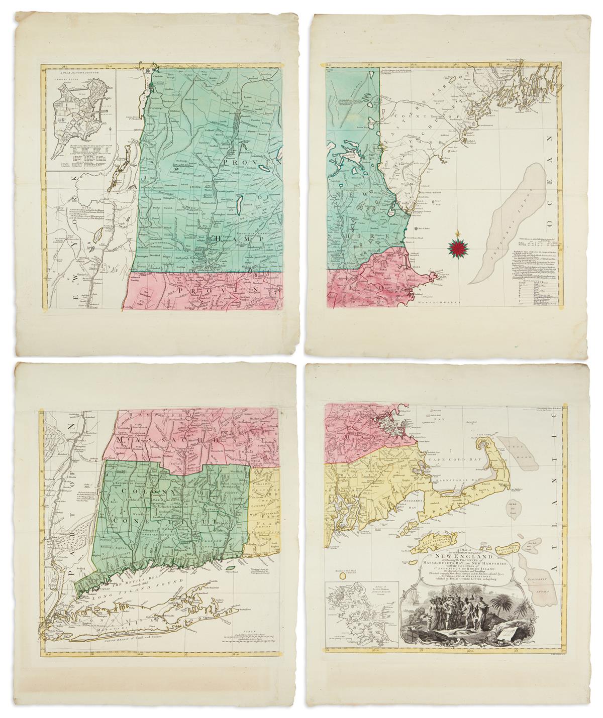
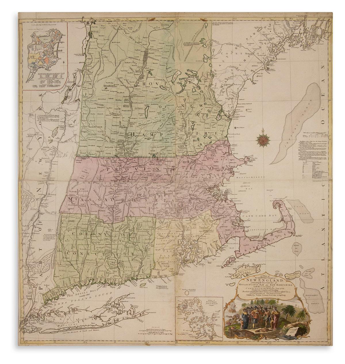
LOTTER, TOBIAS CONRAD; after MEAD, BRADDOCK, alias GREEN, JOHN. A Map of the Most Inhabited Part of New England, Containing the Provinces of Massachusets Bay and New Hampshire, with the Colonies of Conecticut and Rhode Island, Divided into Counties and Townships the Whole Composed from Actual Surveys and its Situation Adjusted by Astronomical Observations. Large engraved map of New England on four sheets joined. 41x39 inches sheet size, ample margins; original hand-color in full; minor spotting and marginal chipping, quadrant joins reinforced on verso. Augsburg, 1776
LOTTER, TOBIAS CONRAD; after MEAD, BRADDOCK, alias GREEN, JOHN. A Map of the Most Inhabited Part of New England, Containing the Provinces of Massachusets Bay and New Hampshire, with the Colonies of Conecticut and Rhode Island, Divided into Counties and Townships the Whole Composed from Actual Surveys and its Situation Adjusted by Astronomical Observations. Large engraved map of New England on four sheets joined. 41x39 inches sheet size, ample margins; original hand-color in full; minor spotting and marginal chipping, quadrant joins reinforced on verso. Augsburg, 1776





Testen Sie LotSearch und seine Premium-Features 7 Tage - ohne Kosten!
Lassen Sie sich automatisch über neue Objekte in kommenden Auktionen benachrichtigen.
Suchauftrag anlegen