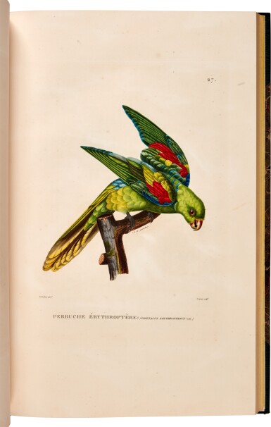
LOUIS-CLAUDE DE SAULCES DE FREYCINET (1779-1842) Voyage de découvertes aux Terres Australes, exécuté... sur les corvettes le Géographe, le Naturaliste, et la goelette le Casuarina, pendant les années 1800, 1801, 1802, 1803 et 1804... Partie Navigation et Géographie... Atlas. Paris: au Dépôt Général des Cartes et Plans de la Marine, 1812. Large 2° (545 x 435mm). Mounted on guards throughout. Engraved title, 32 engraved maps (25 double-page), 19 OF THE MAPS WITH MANUSCRIPT ADDITIONS OR CORRECTIONS in pencil, red and brown ink. (Lacking table of contents leaf, single large worm-track running through guards and inner margins affecting all leaves.) Contemporary sheep-backed boards (worn, some worming to spine). PROVENANCE: Louis-Claude de Saulces de Freycinet (signature on front free endpaper and numerous annotations to 19 of the 32 maps). FREYCINET'S OWN COPY OF THIS IMPORTANT AUSTRALIAN ATLAS EXTENSIVELY ANNOTATED BY THE AUTHOR FROM INFORMATION FATHERED ON FREYCINET'S SECOND VOYAGE TO THE PACIFIC in red ink, brown ink and pencil. The majority of the annotations are corrections to the names and positions of names given on the maps, i.e. English names are added in red ink in place of the French printed names. These alternative English names, in the main, indicate Freycinet's acceptance of Flinders' prior claim to the mapping of much of the coast of Australia. The precise dating of these manuscript alterations is difficult, but a sine qua non date of 1818 seems likely as there are at least two manuscript notes mentioning the position of the Uranie and giving a date of 1818 (see maps numbered 23 and 31). Freycinet's interest in the work of earlier explorers can be seen in some pencilled notes on map numbered 27, where he records a ship's positions off the coast of Australia in the year 1772 (i.e. Cook's voyage) and mentions Dampier's observations of 1688. Freycinet published a second edition of the complete account of Baudin's voyage in 1824 - this included maps with the names changed to those proposed by Flinders - and its likely that the present atlas was used as a working copy by Freycinet during the production of this corrected edition. Cf. Ferguson 536.
LOUIS-CLAUDE DE SAULCES DE FREYCINET (1779-1842) Voyage de découvertes aux Terres Australes, exécuté... sur les corvettes le Géographe, le Naturaliste, et la goelette le Casuarina, pendant les années 1800, 1801, 1802, 1803 et 1804... Partie Navigation et Géographie... Atlas. Paris: au Dépôt Général des Cartes et Plans de la Marine, 1812. Large 2° (545 x 435mm). Mounted on guards throughout. Engraved title, 32 engraved maps (25 double-page), 19 OF THE MAPS WITH MANUSCRIPT ADDITIONS OR CORRECTIONS in pencil, red and brown ink. (Lacking table of contents leaf, single large worm-track running through guards and inner margins affecting all leaves.) Contemporary sheep-backed boards (worn, some worming to spine). PROVENANCE: Louis-Claude de Saulces de Freycinet (signature on front free endpaper and numerous annotations to 19 of the 32 maps). FREYCINET'S OWN COPY OF THIS IMPORTANT AUSTRALIAN ATLAS EXTENSIVELY ANNOTATED BY THE AUTHOR FROM INFORMATION FATHERED ON FREYCINET'S SECOND VOYAGE TO THE PACIFIC in red ink, brown ink and pencil. The majority of the annotations are corrections to the names and positions of names given on the maps, i.e. English names are added in red ink in place of the French printed names. These alternative English names, in the main, indicate Freycinet's acceptance of Flinders' prior claim to the mapping of much of the coast of Australia. The precise dating of these manuscript alterations is difficult, but a sine qua non date of 1818 seems likely as there are at least two manuscript notes mentioning the position of the Uranie and giving a date of 1818 (see maps numbered 23 and 31). Freycinet's interest in the work of earlier explorers can be seen in some pencilled notes on map numbered 27, where he records a ship's positions off the coast of Australia in the year 1772 (i.e. Cook's voyage) and mentions Dampier's observations of 1688. Freycinet published a second edition of the complete account of Baudin's voyage in 1824 - this included maps with the names changed to those proposed by Flinders - and its likely that the present atlas was used as a working copy by Freycinet during the production of this corrected edition. Cf. Ferguson 536.
.jpg)


.jpg)


.jpg)


Testen Sie LotSearch und seine Premium-Features 7 Tage - ohne Kosten!
Lassen Sie sich automatisch über neue Objekte in kommenden Auktionen benachrichtigen.
Suchauftrag anlegen