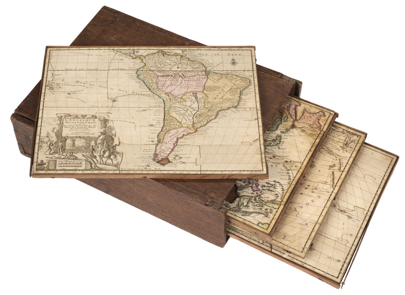
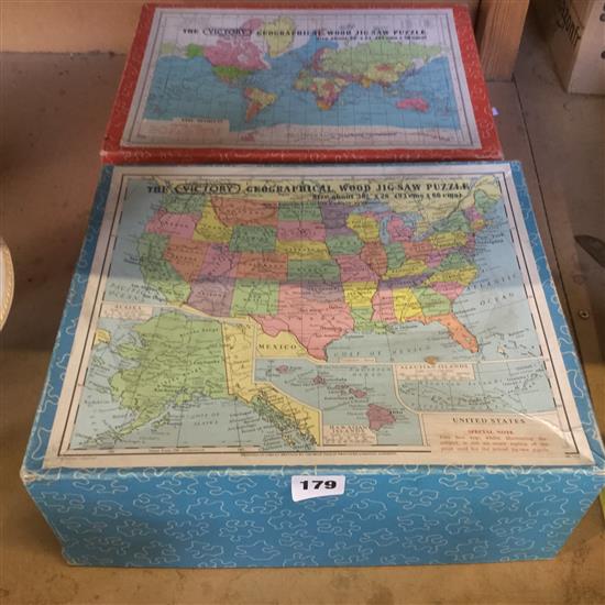
Map jigsaws. Janvier (Jean), L'Afrique divisée en ses principaux etats..., Paris, 1780, engraved map with contemporary outline colouring, inset map of the Cape of Good Hope, sectionalised and laid on wood, the pieces laid on later card, lacking several pieces, 490 x 680 mm, together with a similar map of Europe, lacking five pieces, 480 x 670 mm, with Jouetsera (manufacturer), Grest Britain and Ireland, made in Paris, circa 1950, colour printed wooden jigsaw puzzle of the British Isles (complete), contained within the manufacturer's colour printed card box, size of jigsaw puzzle 315 x 250 mm, plus another three early to mid 20th century wooden jigsaw puzzles of England and Wales, and Geographia Ltd. (manufacturer), Buy British, circa 1935, colour printed map board game based on a map of the world, with separate box of counters, flags and instructions, 365 x 490 mm, with another geographical board game based on flying airships (complete with dirigible counters and die), 290 x 430 mm, plus a zinc printing block for a map of Europe, 165 x 210 mm, with Taylor (George, Jnr., publisher), A Genelogical chart of the Kings and Queens of England from the reign of William the Conqueror to that of his Most Gracious Majesty William the fourth, 2nd edition, circa 1835, engraved chart with contemporary outline colouring, sectionalised and laid on linen, 565 x 760 mm, bound in contemporary half calf, frayed with spine partially detached, and a painted wooden panel of a map and harbour of Plymouth, some loss to margins, 280 x 370 mm (Qty: 11)
Map jigsaws. Janvier (Jean), L'Afrique divisée en ses principaux etats..., Paris, 1780, engraved map with contemporary outline colouring, inset map of the Cape of Good Hope, sectionalised and laid on wood, the pieces laid on later card, lacking several pieces, 490 x 680 mm, together with a similar map of Europe, lacking five pieces, 480 x 670 mm, with Jouetsera (manufacturer), Grest Britain and Ireland, made in Paris, circa 1950, colour printed wooden jigsaw puzzle of the British Isles (complete), contained within the manufacturer's colour printed card box, size of jigsaw puzzle 315 x 250 mm, plus another three early to mid 20th century wooden jigsaw puzzles of England and Wales, and Geographia Ltd. (manufacturer), Buy British, circa 1935, colour printed map board game based on a map of the world, with separate box of counters, flags and instructions, 365 x 490 mm, with another geographical board game based on flying airships (complete with dirigible counters and die), 290 x 430 mm, plus a zinc printing block for a map of Europe, 165 x 210 mm, with Taylor (George, Jnr., publisher), A Genelogical chart of the Kings and Queens of England from the reign of William the Conqueror to that of his Most Gracious Majesty William the fourth, 2nd edition, circa 1835, engraved chart with contemporary outline colouring, sectionalised and laid on linen, 565 x 760 mm, bound in contemporary half calf, frayed with spine partially detached, and a painted wooden panel of a map and harbour of Plymouth, some loss to margins, 280 x 370 mm (Qty: 11)


Testen Sie LotSearch und seine Premium-Features 7 Tage - ohne Kosten!
Lassen Sie sich automatisch über neue Objekte in kommenden Auktionen benachrichtigen.
Suchauftrag anlegen