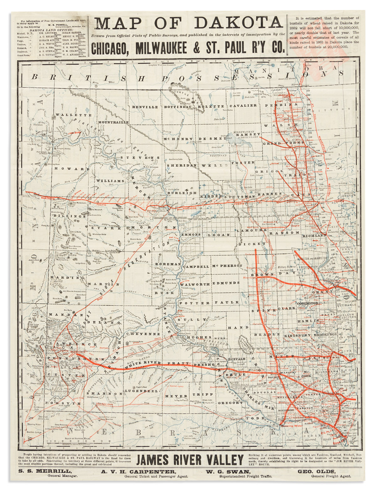
Map of the ceded part of Dakota Territory: showing also portions of Minnesota, Iowa & Nebraska ... Second edition, July 1863.... St. Paul, Minnesota: B.M. Smith and A. J. Hill 1863. Lithographic pocket map by Louis Buechner, with, inset map titled "Outline Map of Dakota Territory." 440 x 570 mm. Folded into publisher's green cloth covers, covers decoratively blocked in blind, titled in gilt on the upper cover, publisher's printed prospectus on the front pastedown. One of the earliest maps of the Dakota Territory, marking the battlefields of the recent Sioux Uprising, and showing the roads, railroads, forts, towns, rivers and Indian lands in the region, as well as the exploration routes of Nicollet and others in the new Dakota Territory. "This [second] edition gives several new counties along the eastern boundary of the Territory, both in the inset and on the main map, and there are various new counties in the southern part of the Territory. The inset in this issue shows the creation of Idaho Territory to the west of Dakota" (Streeter). Also included are the locations of the Battles of Birch Coulee and Wood Lake, Camp Release (dated October 1862), and the spot near Kampeska Lake where Colonel William R. Marshall of the 7th Minnesota captured a force of Sioux warriors. No copy has appeared on the market since the Thomas W. Streeter sale. S Graff 3835; Phillips, A List of Maps of America, p 257; Streeter sale 2034.
Map of the ceded part of Dakota Territory: showing also portions of Minnesota, Iowa & Nebraska ... Second edition, July 1863.... St. Paul, Minnesota: B.M. Smith and A. J. Hill 1863. Lithographic pocket map by Louis Buechner, with, inset map titled "Outline Map of Dakota Territory." 440 x 570 mm. Folded into publisher's green cloth covers, covers decoratively blocked in blind, titled in gilt on the upper cover, publisher's printed prospectus on the front pastedown. One of the earliest maps of the Dakota Territory, marking the battlefields of the recent Sioux Uprising, and showing the roads, railroads, forts, towns, rivers and Indian lands in the region, as well as the exploration routes of Nicollet and others in the new Dakota Territory. "This [second] edition gives several new counties along the eastern boundary of the Territory, both in the inset and on the main map, and there are various new counties in the southern part of the Territory. The inset in this issue shows the creation of Idaho Territory to the west of Dakota" (Streeter). Also included are the locations of the Battles of Birch Coulee and Wood Lake, Camp Release (dated October 1862), and the spot near Kampeska Lake where Colonel William R. Marshall of the 7th Minnesota captured a force of Sioux warriors. No copy has appeared on the market since the Thomas W. Streeter sale. S Graff 3835; Phillips, A List of Maps of America, p 257; Streeter sale 2034.







Testen Sie LotSearch und seine Premium-Features 7 Tage - ohne Kosten!
Lassen Sie sich automatisch über neue Objekte in kommenden Auktionen benachrichtigen.
Suchauftrag anlegen