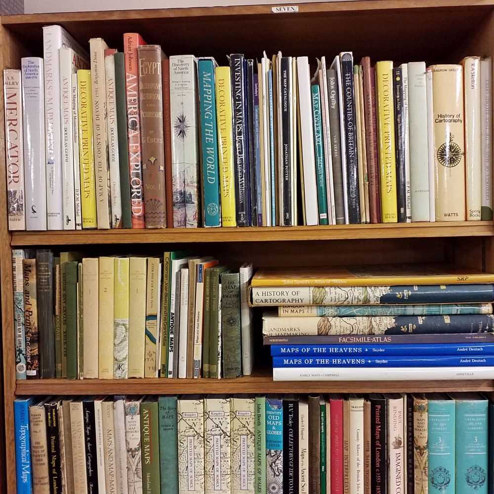
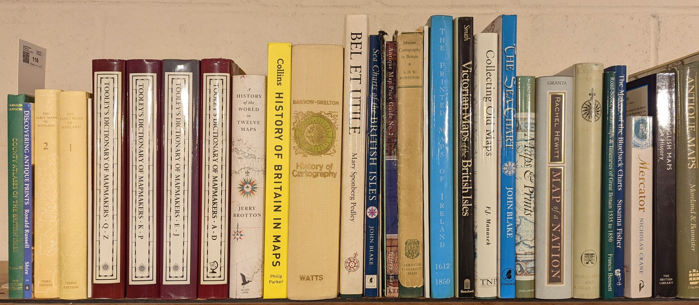
Map Reference. A collection of approximately 75 volumes, 20th-century, map reference books, facsimile atlases and occasional dealer catalogues, including Shirley (Rodney W.). The Mapping of the World, Early Printed World Maps, 1472 - 1700, The Holland Press, 1983, additional half-title, numerous colour and black and white illustrations throughout, signed by the author, publisher's cloth gilt, dust jacket, folio, with Bonar Law (Andrew). The Printed Maps of Ireland 1612 - 1850, printed by The Neptune Gallery, 1997, numerous black and white illustrations throughout, publisher's cloth gilt, dust jacket, folio, plus Atlas Maior, 1665, facsimile reprint by Taschen, 2005, numerous colour plates and maps throughout, publisher's printed colour boards, dust jacket, folio, together with Atlas Maior, Anglia, volume 1 [and] Scotia & Hibernia, volume 2, Taschen, circa 2007, two volumes with numerous colour plates and maps, publisher's printed colour boards, dust jacket, folio, contained in publisher's colour printed slipcase, and Swift (Michael). Mapping the World, published by Chartwell Books Inc. 2006, numerous colour and black and white illustrations throughout, publisher's cloth gilt, dust jacket, oblong folio, with other volumes similar including examples by or after R. V. Tooley, Moreland & Bannister, P. Barber, J. Potter, J. Booth, H. Gohm, R. Lister and W. Ginsdorff, various sizes, good condition (Quantity: approx. 75)
Map Reference. A collection of approximately 75 volumes, 20th-century, map reference books, facsimile atlases and occasional dealer catalogues, including Shirley (Rodney W.). The Mapping of the World, Early Printed World Maps, 1472 - 1700, The Holland Press, 1983, additional half-title, numerous colour and black and white illustrations throughout, signed by the author, publisher's cloth gilt, dust jacket, folio, with Bonar Law (Andrew). The Printed Maps of Ireland 1612 - 1850, printed by The Neptune Gallery, 1997, numerous black and white illustrations throughout, publisher's cloth gilt, dust jacket, folio, plus Atlas Maior, 1665, facsimile reprint by Taschen, 2005, numerous colour plates and maps throughout, publisher's printed colour boards, dust jacket, folio, together with Atlas Maior, Anglia, volume 1 [and] Scotia & Hibernia, volume 2, Taschen, circa 2007, two volumes with numerous colour plates and maps, publisher's printed colour boards, dust jacket, folio, contained in publisher's colour printed slipcase, and Swift (Michael). Mapping the World, published by Chartwell Books Inc. 2006, numerous colour and black and white illustrations throughout, publisher's cloth gilt, dust jacket, oblong folio, with other volumes similar including examples by or after R. V. Tooley, Moreland & Bannister, P. Barber, J. Potter, J. Booth, H. Gohm, R. Lister and W. Ginsdorff, various sizes, good condition (Quantity: approx. 75)




.jpg)

Testen Sie LotSearch und seine Premium-Features 7 Tage - ohne Kosten!
Lassen Sie sich automatisch über neue Objekte in kommenden Auktionen benachrichtigen.
Suchauftrag anlegen