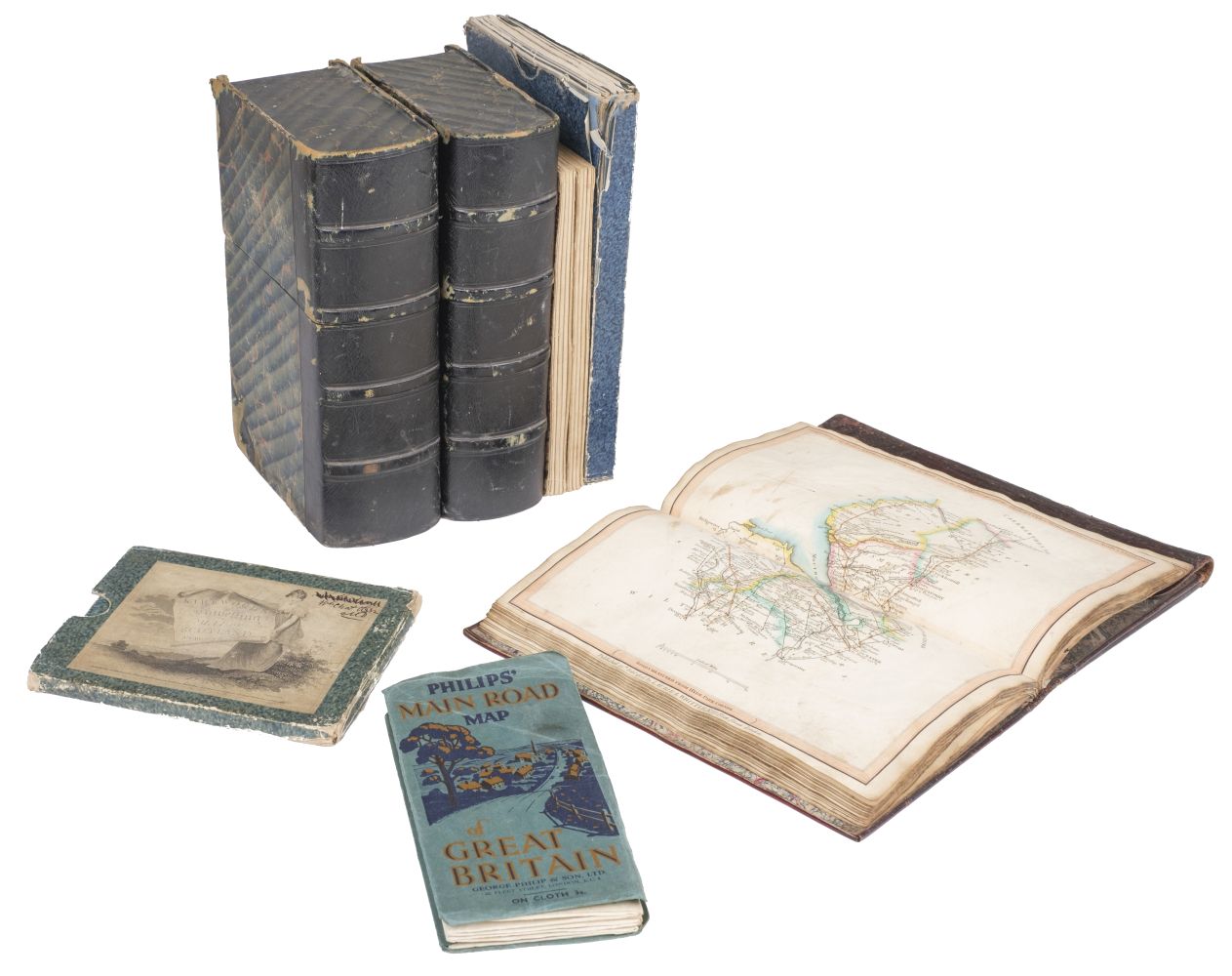
Maps: A collection of 7 maps. Including: Bartholomew's Contoured Road Map of England and Wales , Fourth edition, mounted on cloth. An Ordnance Survey One- Inch map of Great Britain ; London N.W . Seventh Series. Mounted on cloth. A section KK (Kent area), Motoring and Hiking map with colour illustration to cover. An Ordnance Survey One- Inch map of Great Britain ; London and Epping forest . Fifth Edition. Mounted on Linen. Bartholomew's Revised ''half-inch'' Contoured map of Surrey. Bartholomew's Revised ''half-inch'' Contoured map of Cornwall. A Road Atlas of Great Britain published by W & A. K Johnston Limited, Edinburgh and London (7)
Maps: A collection of 7 maps. Including: Bartholomew's Contoured Road Map of England and Wales , Fourth edition, mounted on cloth. An Ordnance Survey One- Inch map of Great Britain ; London N.W . Seventh Series. Mounted on cloth. A section KK (Kent area), Motoring and Hiking map with colour illustration to cover. An Ordnance Survey One- Inch map of Great Britain ; London and Epping forest . Fifth Edition. Mounted on Linen. Bartholomew's Revised ''half-inch'' Contoured map of Surrey. Bartholomew's Revised ''half-inch'' Contoured map of Cornwall. A Road Atlas of Great Britain published by W & A. K Johnston Limited, Edinburgh and London (7)

Testen Sie LotSearch und seine Premium-Features 7 Tage - ohne Kosten!
Lassen Sie sich automatisch über neue Objekte in kommenden Auktionen benachrichtigen.
Suchauftrag anlegen